


Przedstawiona praca to szczegółowa mapa Brugii, stworzona przez Joana Blaeu i Willema Janszoona Blaeu. Mapa, datowana na 1652 rok, jest częścią większego atlasu zatytułowanego „Toonneel der Steeden van s'Konings Nederlanden, met hare Beschryvingen”, wydanego przez Joana Blaeu. Mapa jest misternie grawerowanym przedstawieniem Brugii, ukazującym miasto z lotu ptaka. Jest częścią atlasu, który łączy precyzję kartograficzną z artystycznymi zdobieniami, charakterystycznymi dla holenderskiego Złotego Wieku kartografii. Medium to prawdopodobnie rycina, powszechna w przypadku map z tej epoki ze względu na poziom szczegółowości osiągalny dzięki grawerowaniu.


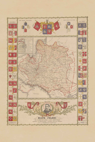
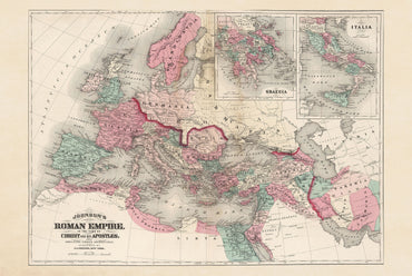
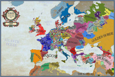
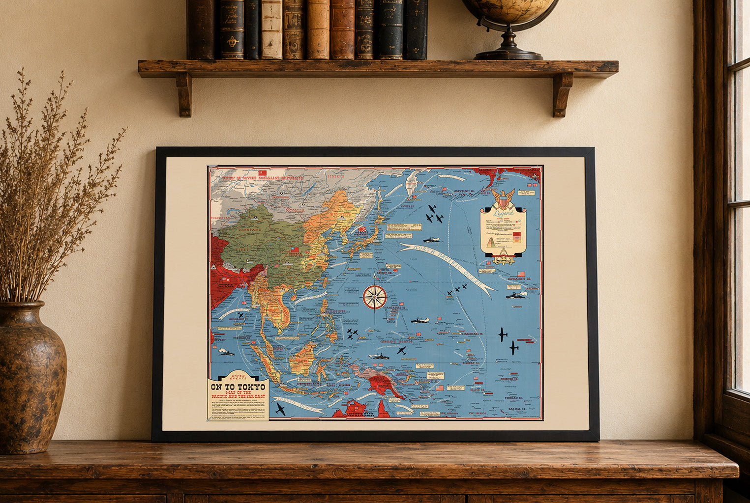
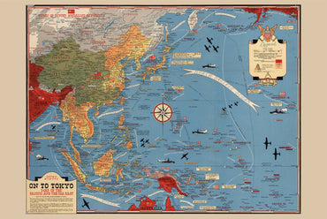
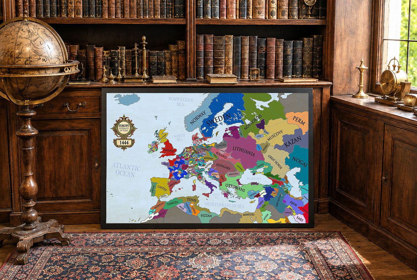
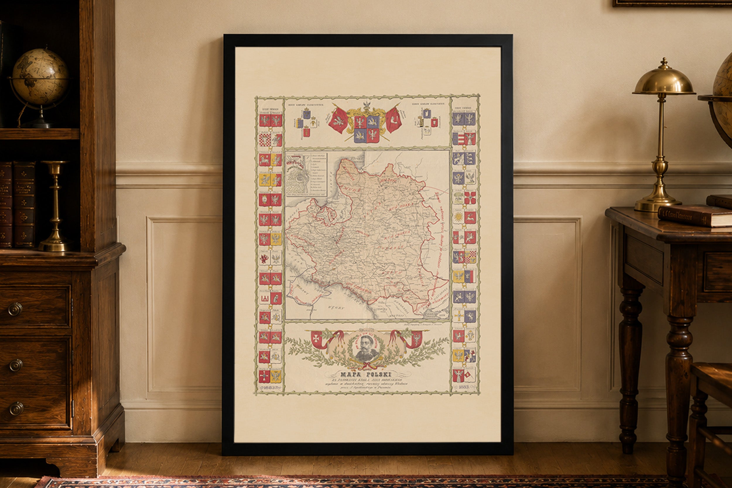
Lovely map and a great feal to it too. Very happy to see historical polish maps available as they're quite uncommon. Only critique would be I'd like to see a PLC map on offer that has clear borders (maybe with the Voivodeships included?) or maybe some Aztec empire maps in the future. Great product regardless, very happy.
Beautiful, I highly recommend it
Easy deal and quick delivery.
Great quality of the fabric and the print.
I like the small touches, like hand written 'thank you', or the packaging with string. It makes a difference when you have it in you hand.
Incredibly high quality print. Did not get the frame so I can’t speak to that. Got the larger of the two sizes and am in love with it. Printed on a material that feels like a soft canvas.
For the cost and the quality alone, I would highly recommend anyone on the fence to buy one. You will not be disappointed.
Jestem w pełni zadowolony z zakupu tej mapy. Na ścianie prezentuje się dumnie i pięknie. Do jakości samego wyrobu nie mam żadnych zastrzeżeń. Co do transportu, przebiegł szybko i sprawnie, bez żadnych zarzutów. W przyszłości będę na pewno planował jeszcze coś dodać do swojej kolekcji z tego sklepu. Serdecznie polecam!