


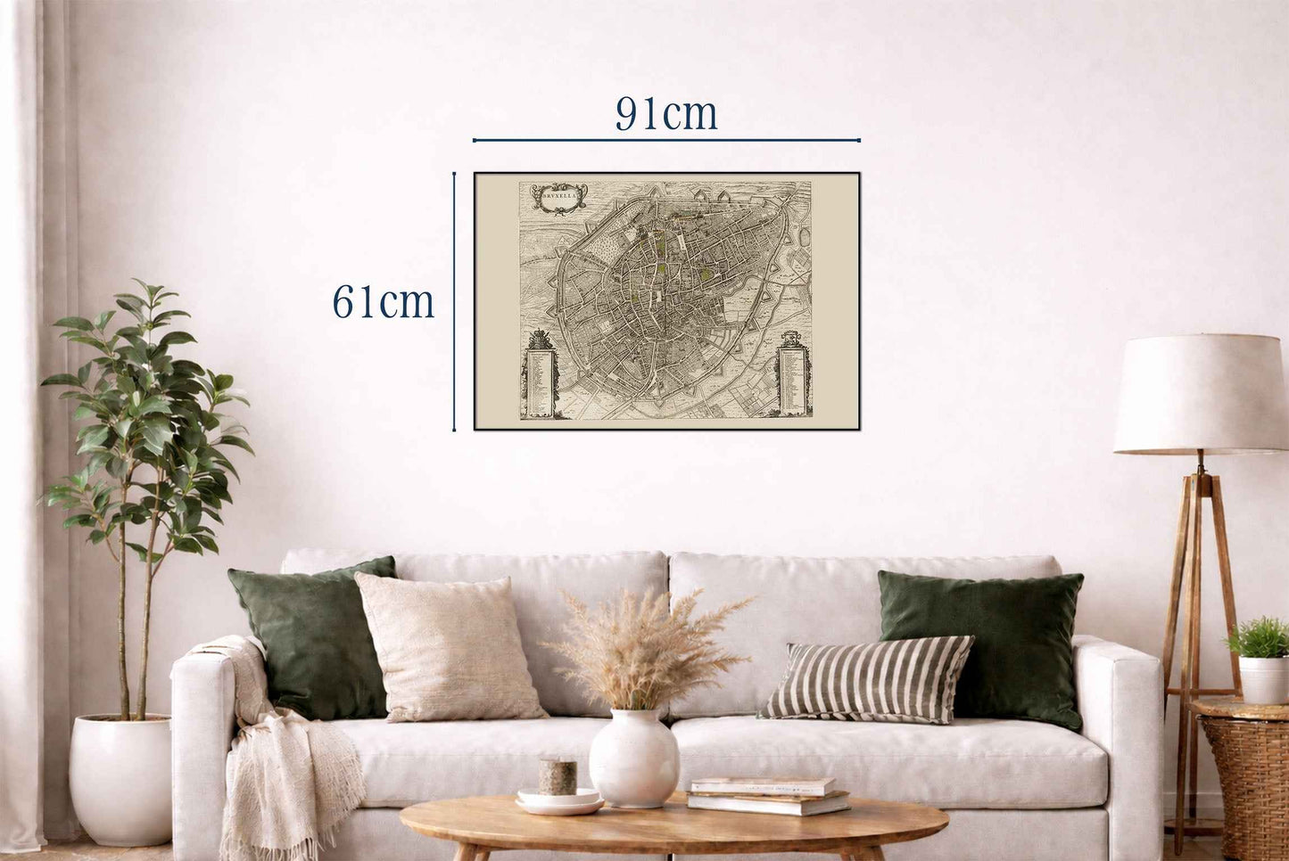
Obraz przedstawia "Bruxellę", mapę Brukseli, autorstwa Joana Blaeu i Willema Janszoona Blaeu, wydaną w 1652 roku. Dzieło to jest częścią atlasu miejskiego Blaeua z połowy XVII wieku, zatytułowanego "Toonneel der Steeden van s'Konings Nederlanden, met hare Beschryvingen". Kompozycja i medium: Mapa jest grawerowaną ilustracją, typową dla tego okresu, charakteryzującą się drobiazgowością i precyzją. Kunszt wykonania odzwierciedla wysokie standardy sztuki kartograficznej w holenderskim Złotym Wieku, podkreślając zarówno funkcjonalność, jak i walory estetyczne.




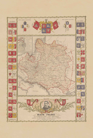
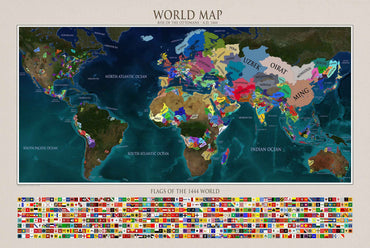
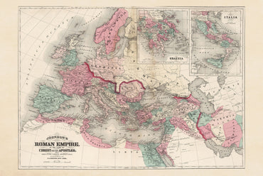
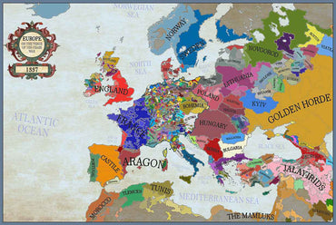
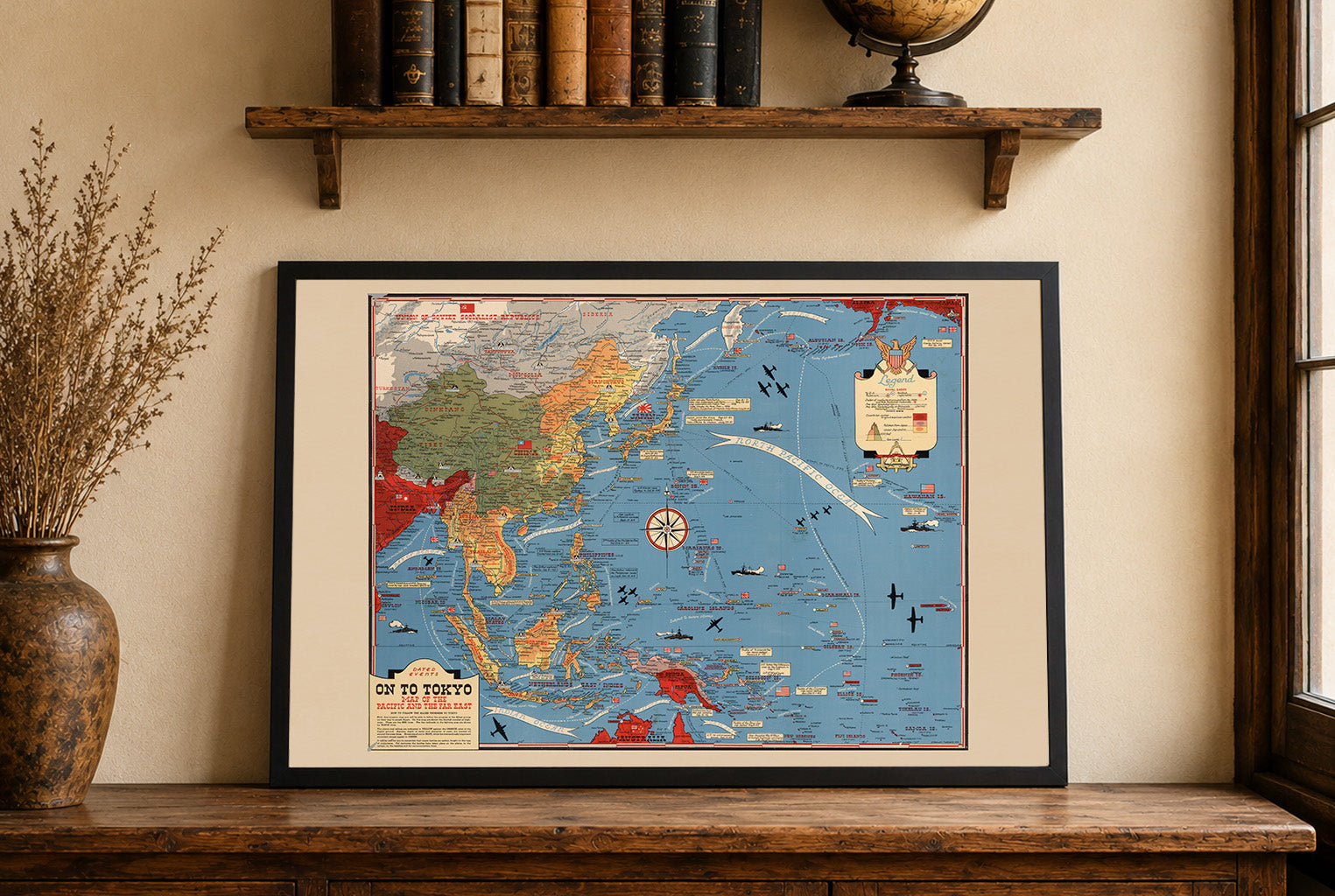
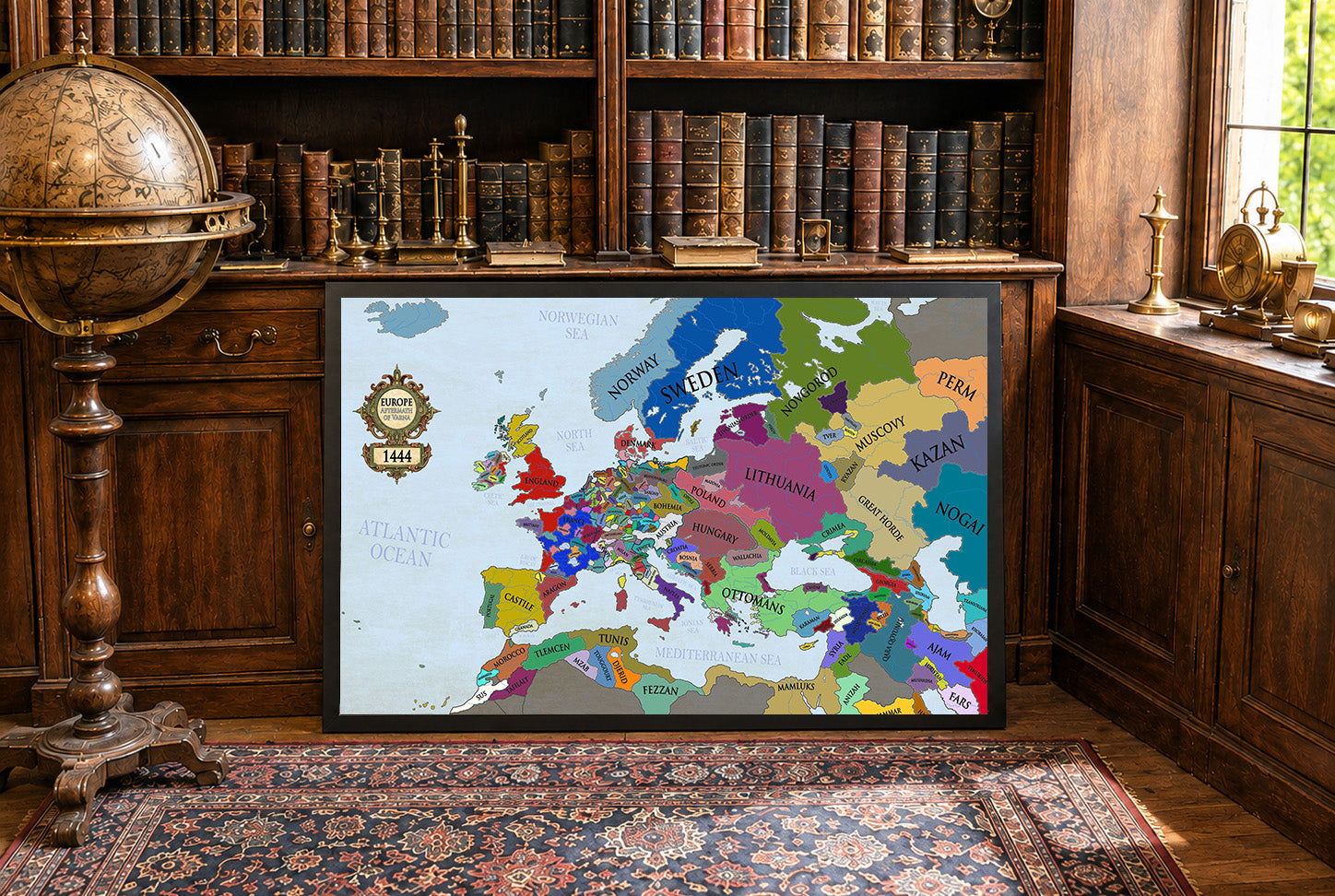
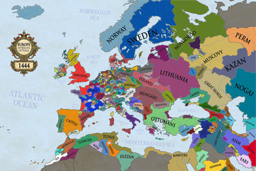
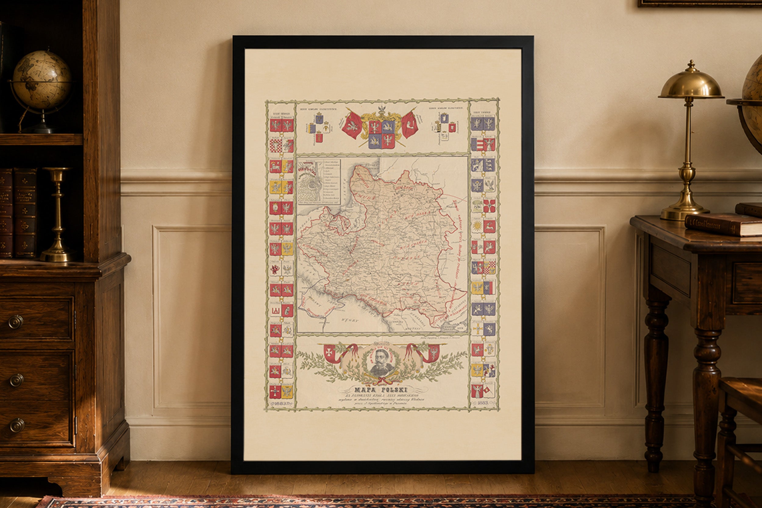
Lovely map and a great feal to it too. Very happy to see historical polish maps available as they're quite uncommon. Only critique would be I'd like to see a PLC map on offer that has clear borders (maybe with the Voivodeships included?) or maybe some Aztec empire maps in the future. Great product regardless, very happy.
Beautiful, I highly recommend it
Easy deal and quick delivery.
Great quality of the fabric and the print.
I like the small touches, like hand written 'thank you', or the packaging with string. It makes a difference when you have it in you hand.
Incredibly high quality print. Did not get the frame so I can’t speak to that. Got the larger of the two sizes and am in love with it. Printed on a material that feels like a soft canvas.
For the cost and the quality alone, I would highly recommend anyone on the fence to buy one. You will not be disappointed.
Jestem w pełni zadowolony z zakupu tej mapy. Na ścianie prezentuje się dumnie i pięknie. Do jakości samego wyrobu nie mam żadnych zastrzeżeń. Co do transportu, przebiegł szybko i sprawnie, bez żadnych zarzutów. W przyszłości będę na pewno planował jeszcze coś dodać do swojej kolekcji z tego sklepu. Serdecznie polecam!