


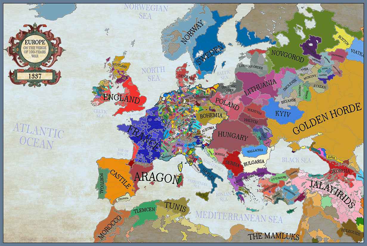
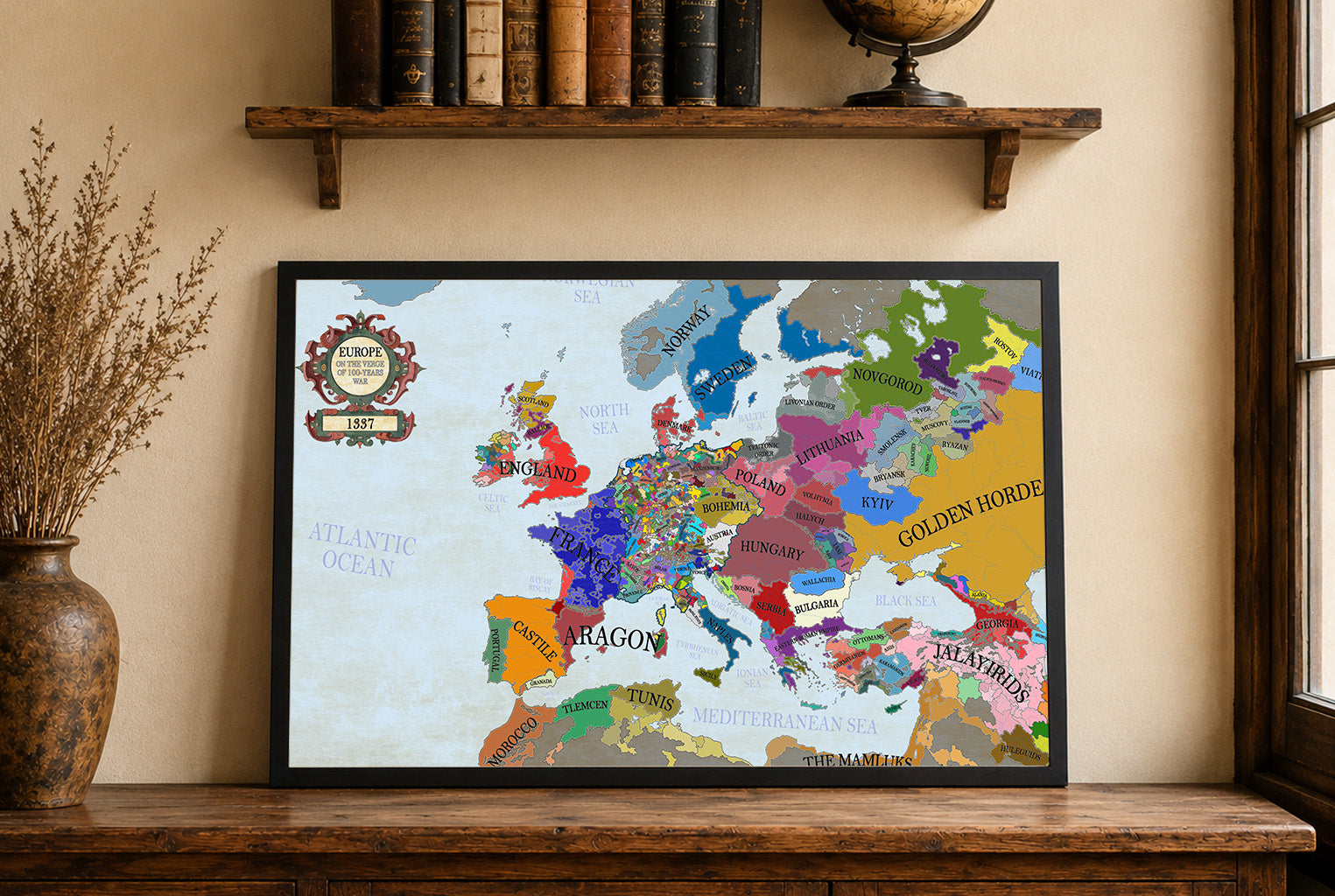


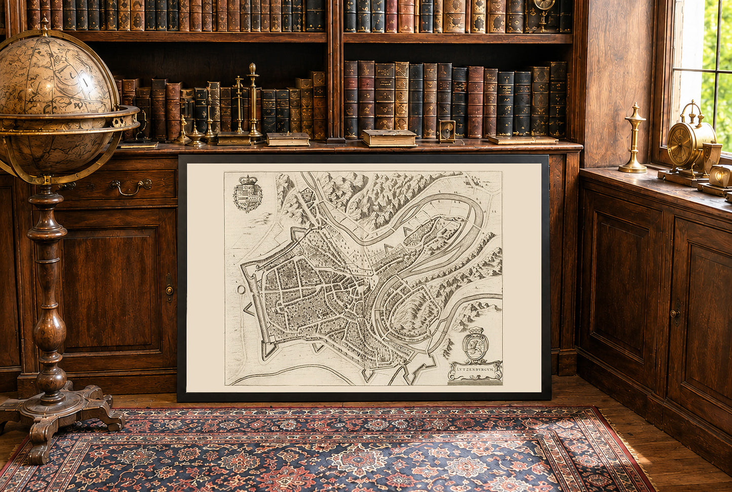
Ten obraz to historyczna mapa zatytułowana „Lutzenburgum”, stworzona przez Joana Blaeu i Willema Janszoona Blaeu w 1652 roku. Została ona zamieszczona w drugim tomie atlasu miast Blaeu, „Toonneel der Steeden van s'Konings Nederlanden, met hare Beschryvingen” (Teatr miast Niderlandów króla, z ich opisami). Mapa przedstawia szczegółowy, perspektywiczny grawer miasta Luksemburg. Zawiera skomplikowane przedstawienia układu urbanistycznego, w tym ulic, budynków i fortyfikacji. Styl jest charakterystyczny dla niderlandzkiej tradycji kartograficznej XVII wieku, łączącej precyzję z artystycznym ozdobieniem. Elementy dekoracyjne, takie jak herby i kartusze, podkreślają jej walory wizualne.




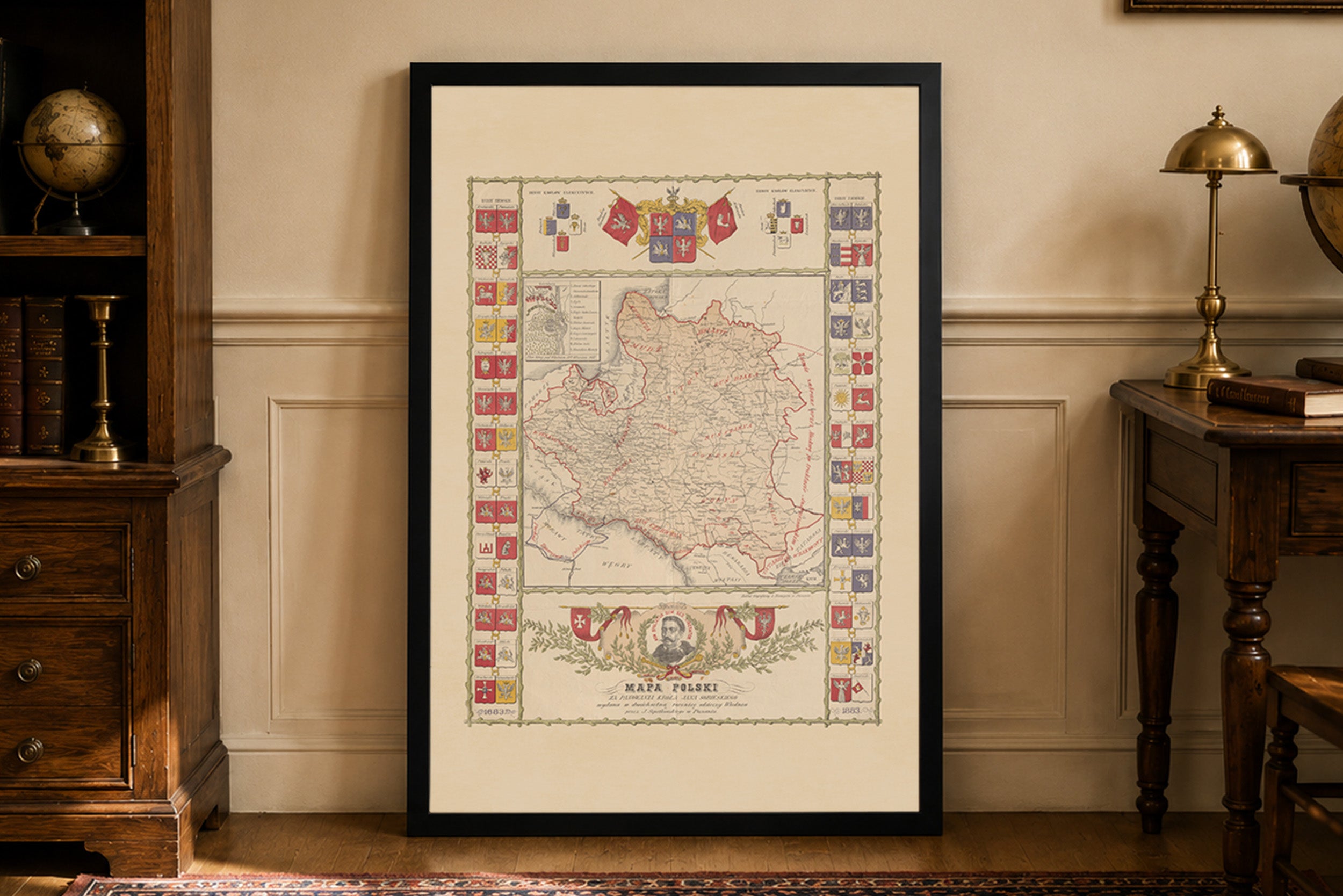
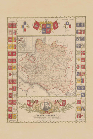
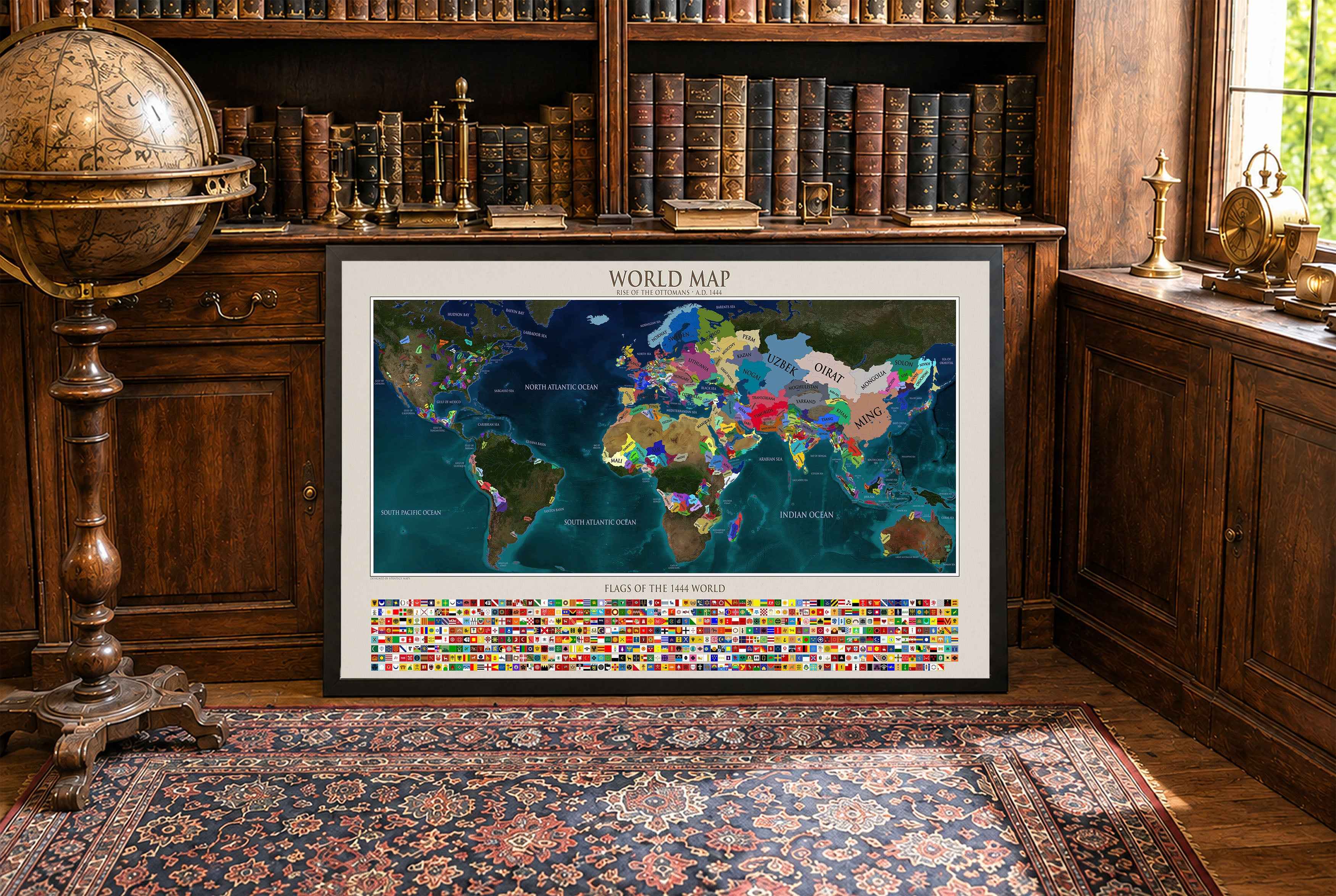
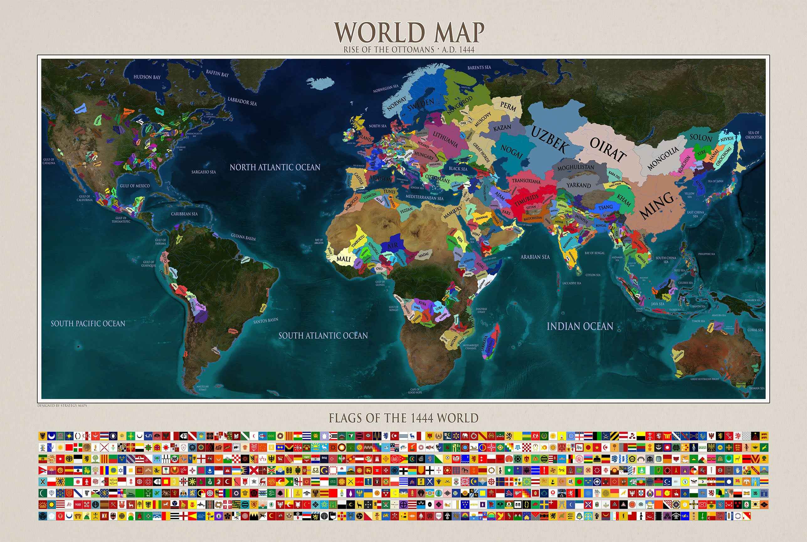

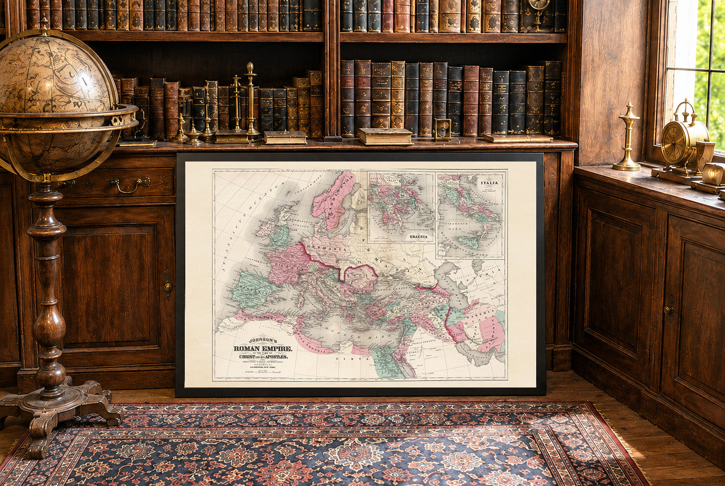
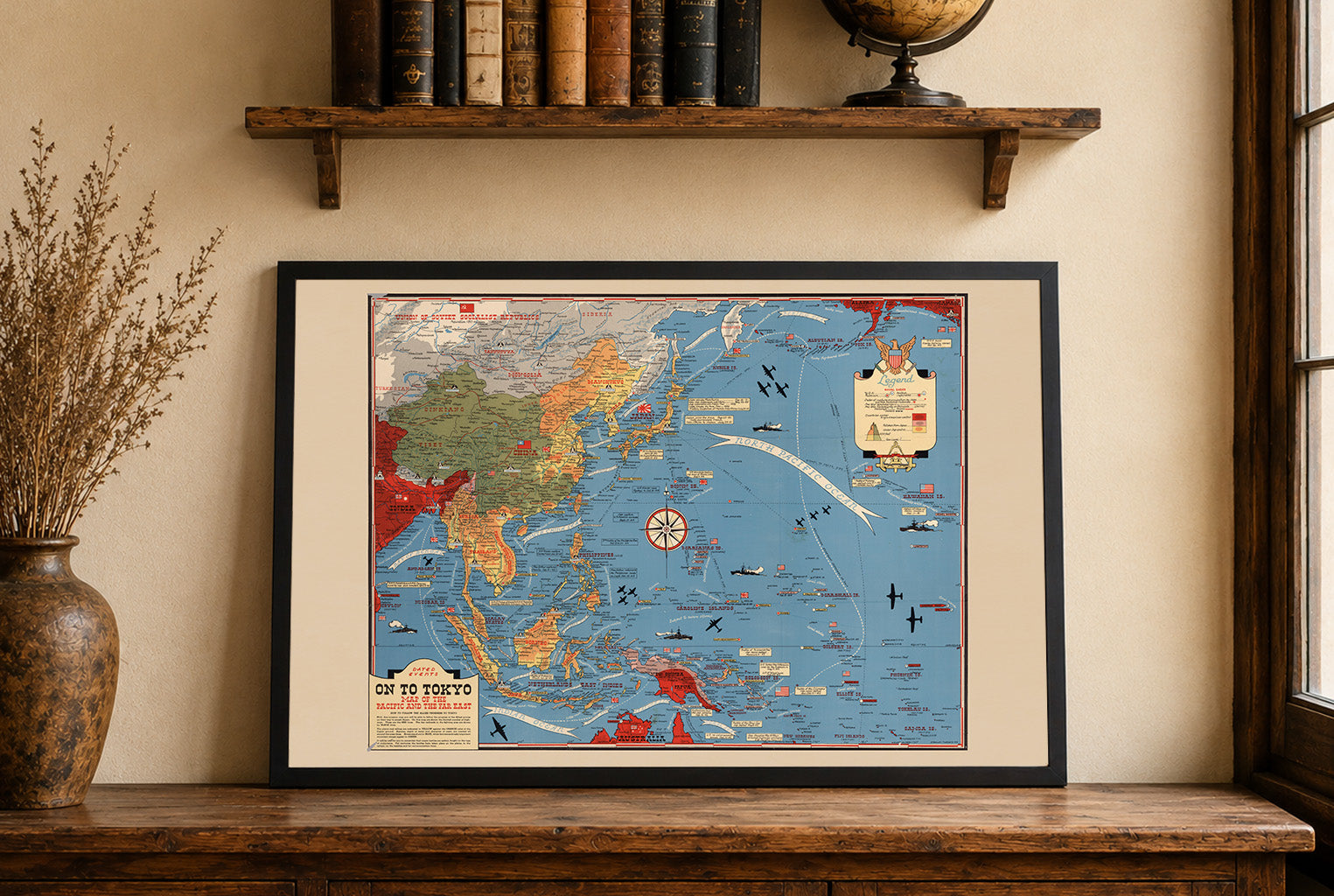
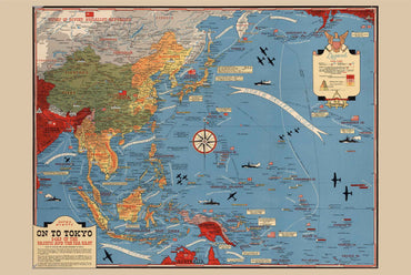
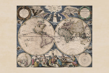
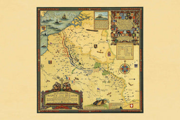
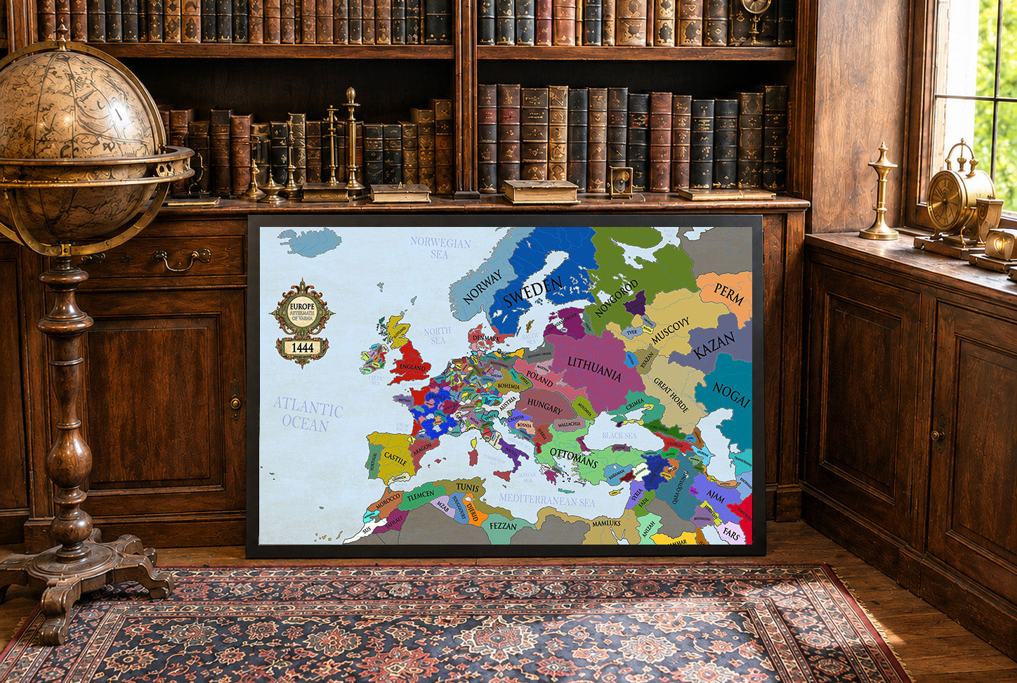
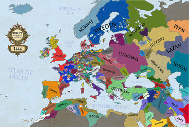
Maps came in a very well cushioned package with no damage occurring during transit. The color on the maps is nicely saturated and the maps look great on the wall.
Great quality, great packaging, great delivery! Highly recommend all maps!
Great material and colour saturation and means I can choose a country to play before turning on my PC :P
Map arrived in perfect condition and quality for reading cities, rivers, mountains and regions. Incredibly helpful in sourcing the map I wanted and adding it to the store.
Rotterdam is always 5 stars.