


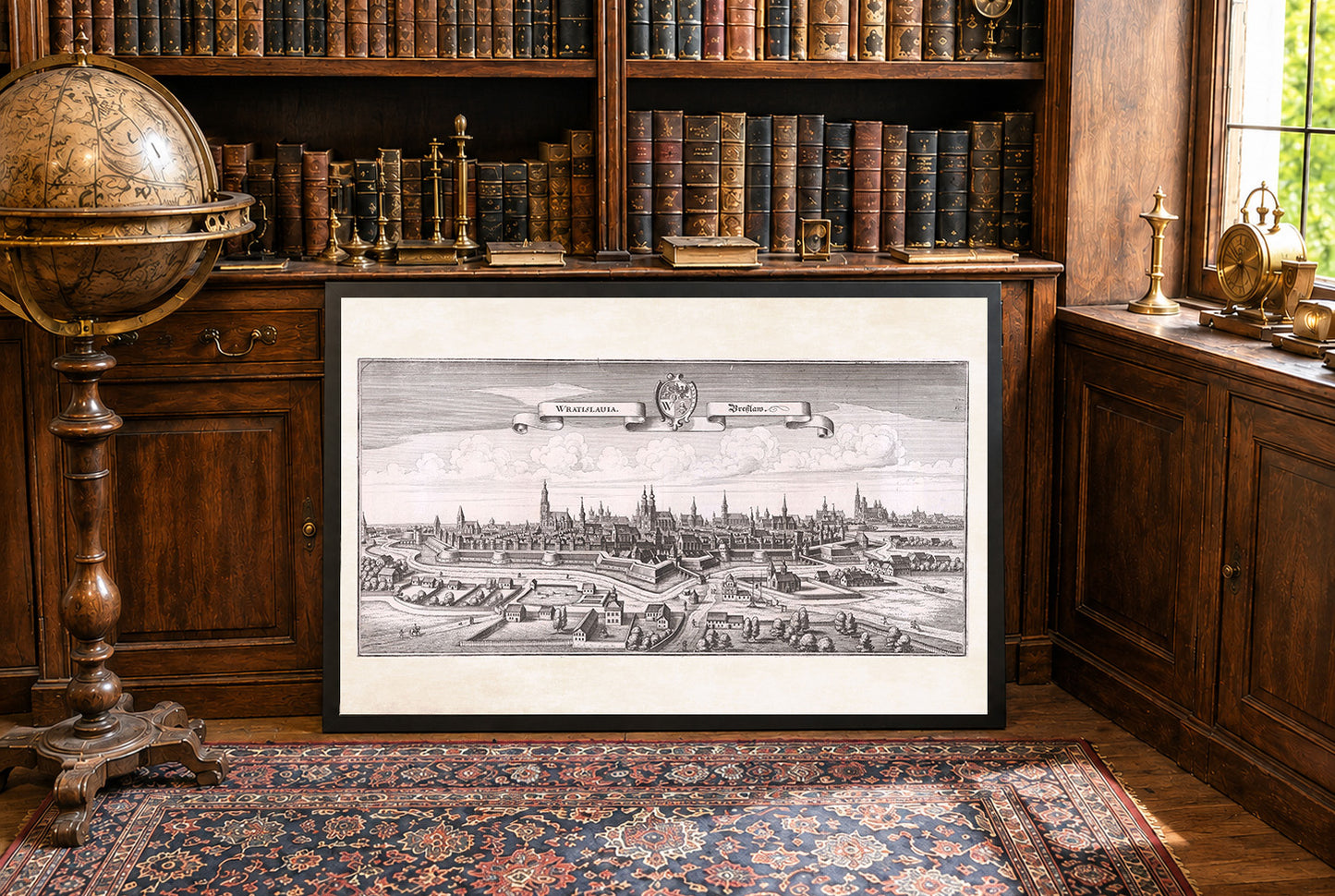
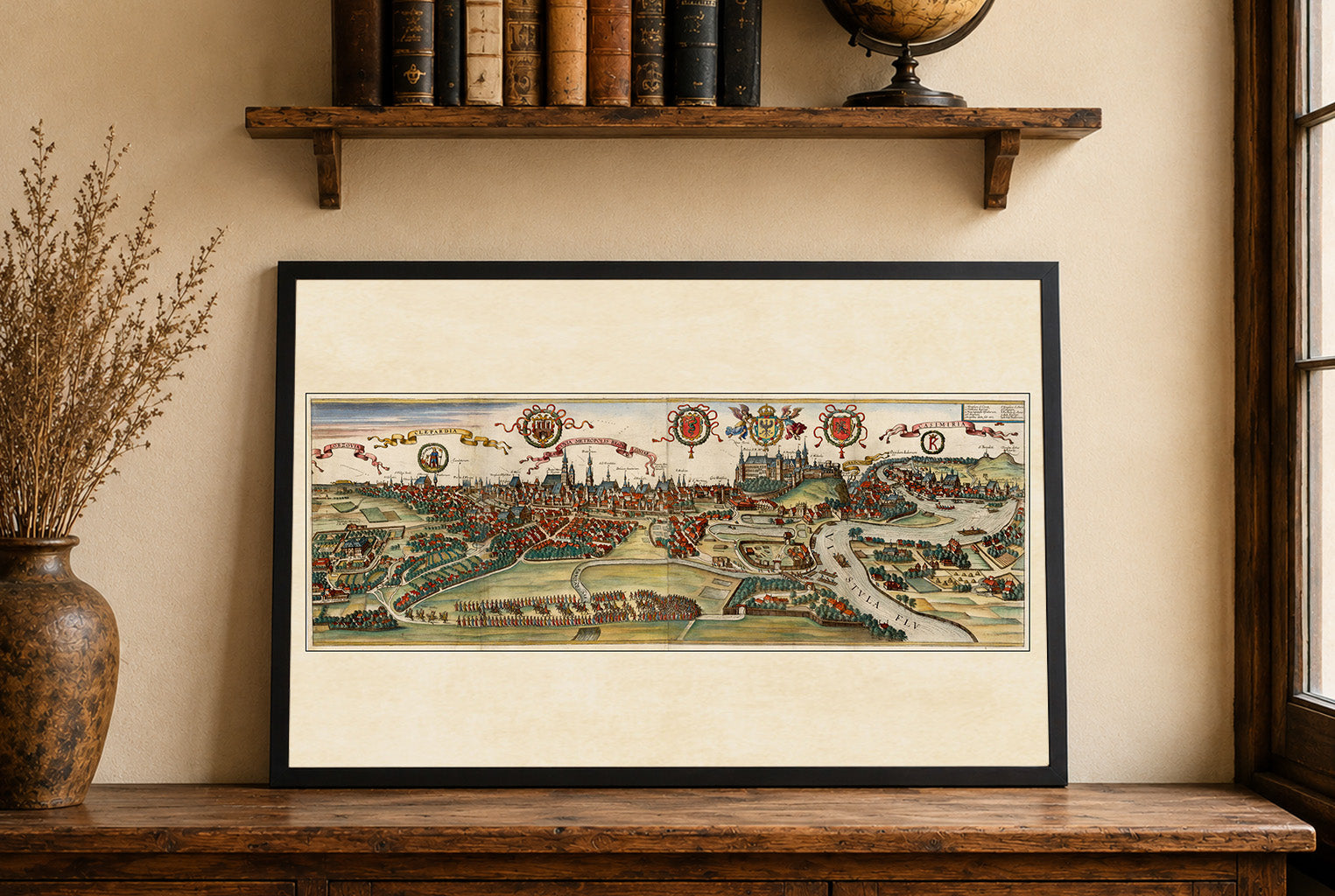
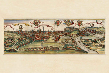
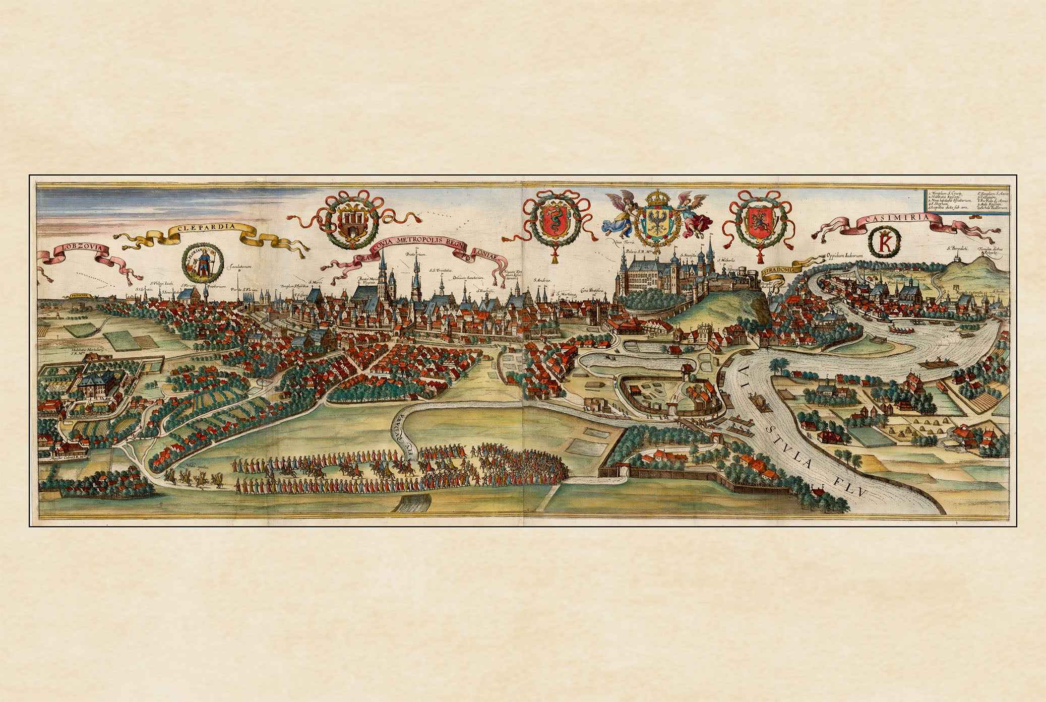
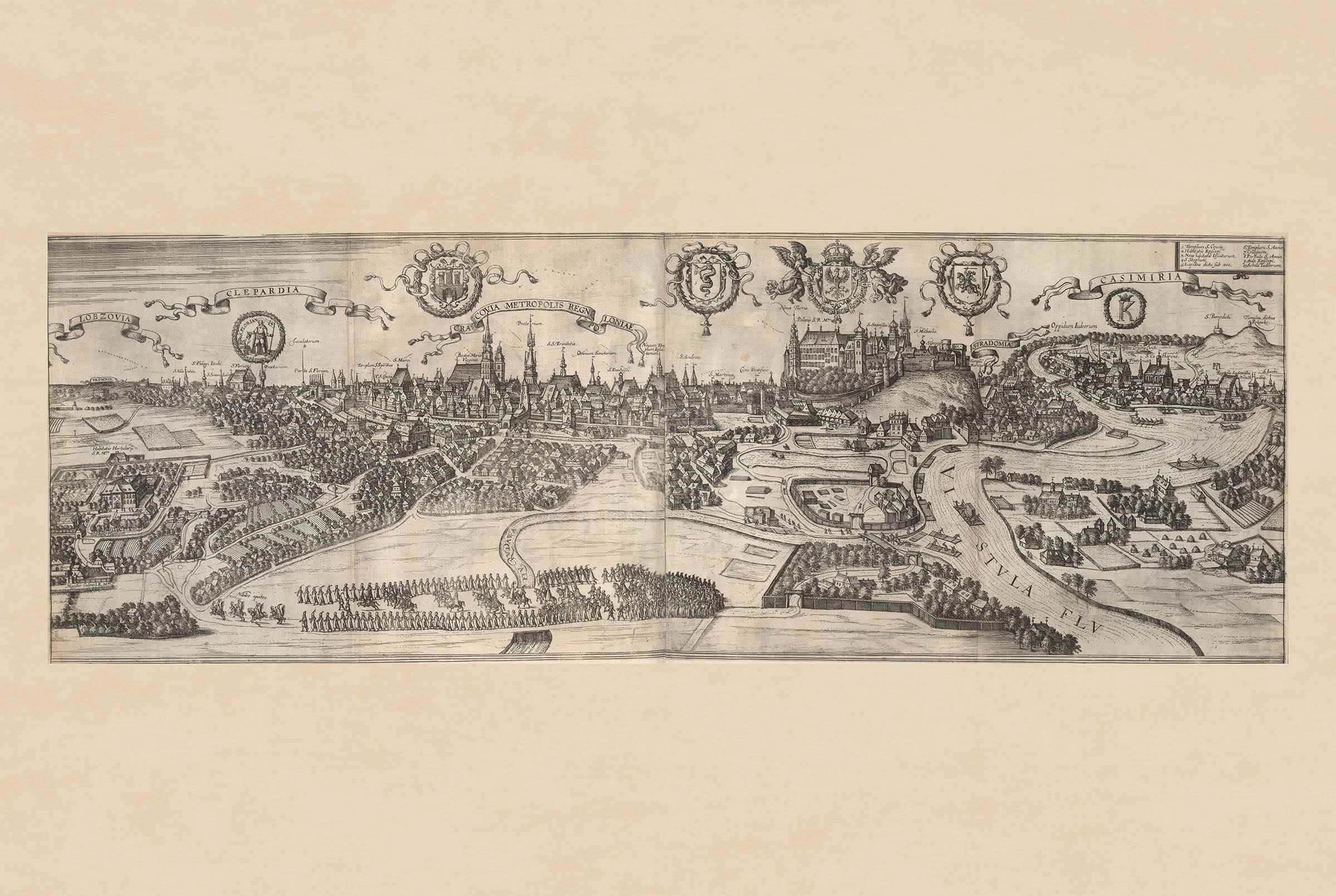
Obraz to miedzioryt zatytułowany „Wratislauia. Breslaw”, stworzony przez Matthaeusa Meriana we współpracy z Martinem Zeillerem, datowany na 1650 rok. Dzieło to jest częścią „Topographia Bohemiæ”, tomu z serii „Topographia Germaniae”, wydanego przez Matthaeusa Meriana. Seria przedstawia szczegółowe wizerunki regionów w XVII wieku, koncentrując się na obszarach niemieckojęzycznych i ich otoczeniu. Rycina przedstawia panoramiczny widok miasta Wrocławia w Polsce. Miasto otoczone jest fortyfikacjami, co było powszechne w krajobrazie miejskim tamtej epoki, podkreślając jego strategiczne znaczenie. Architektura wewnątrz murów miejskich obejmuje znaczące budowle, takie jak kościoły z wysokimi iglicami, wskazujące na znaczenie instytucji religijnych w tamtych czasach.


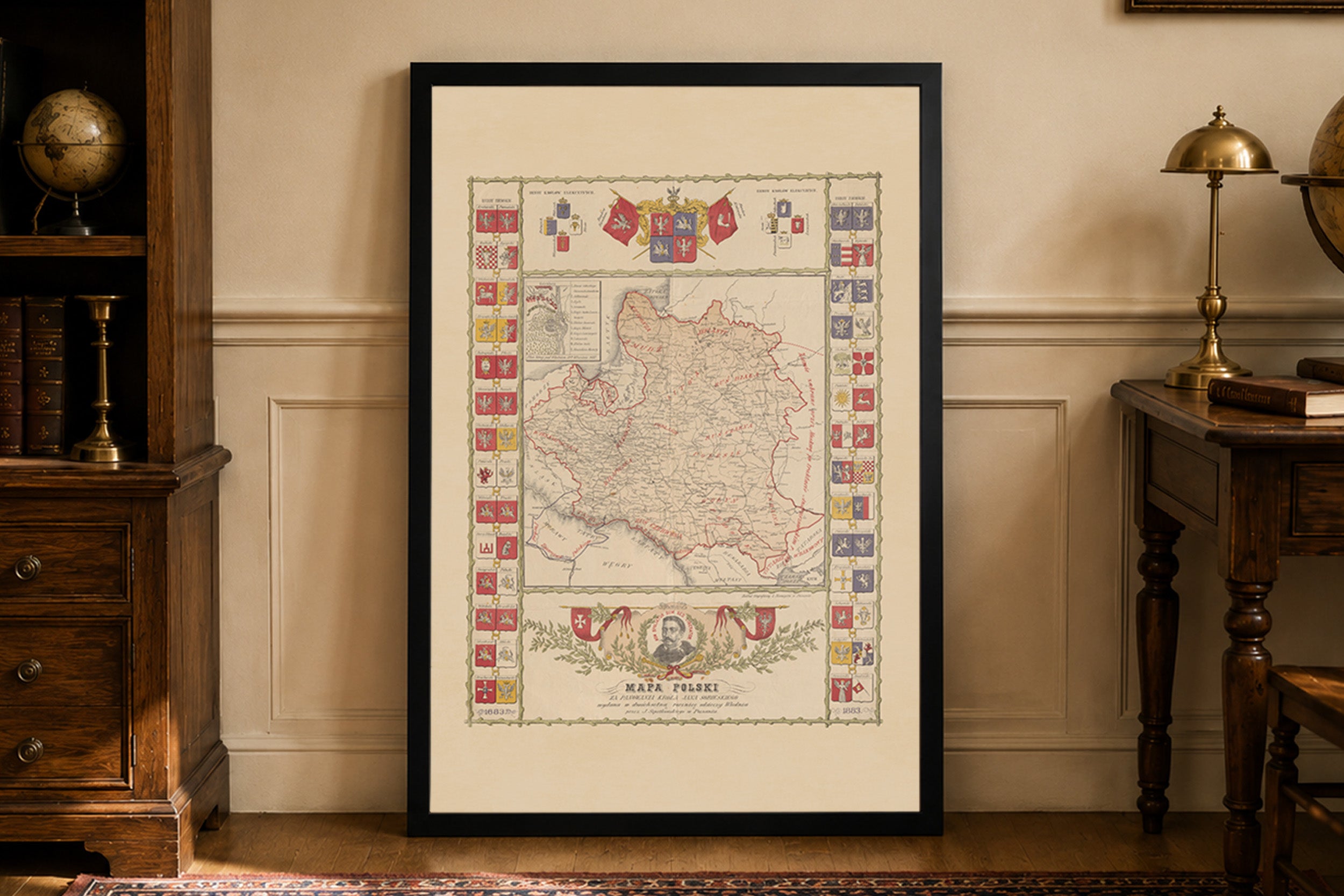
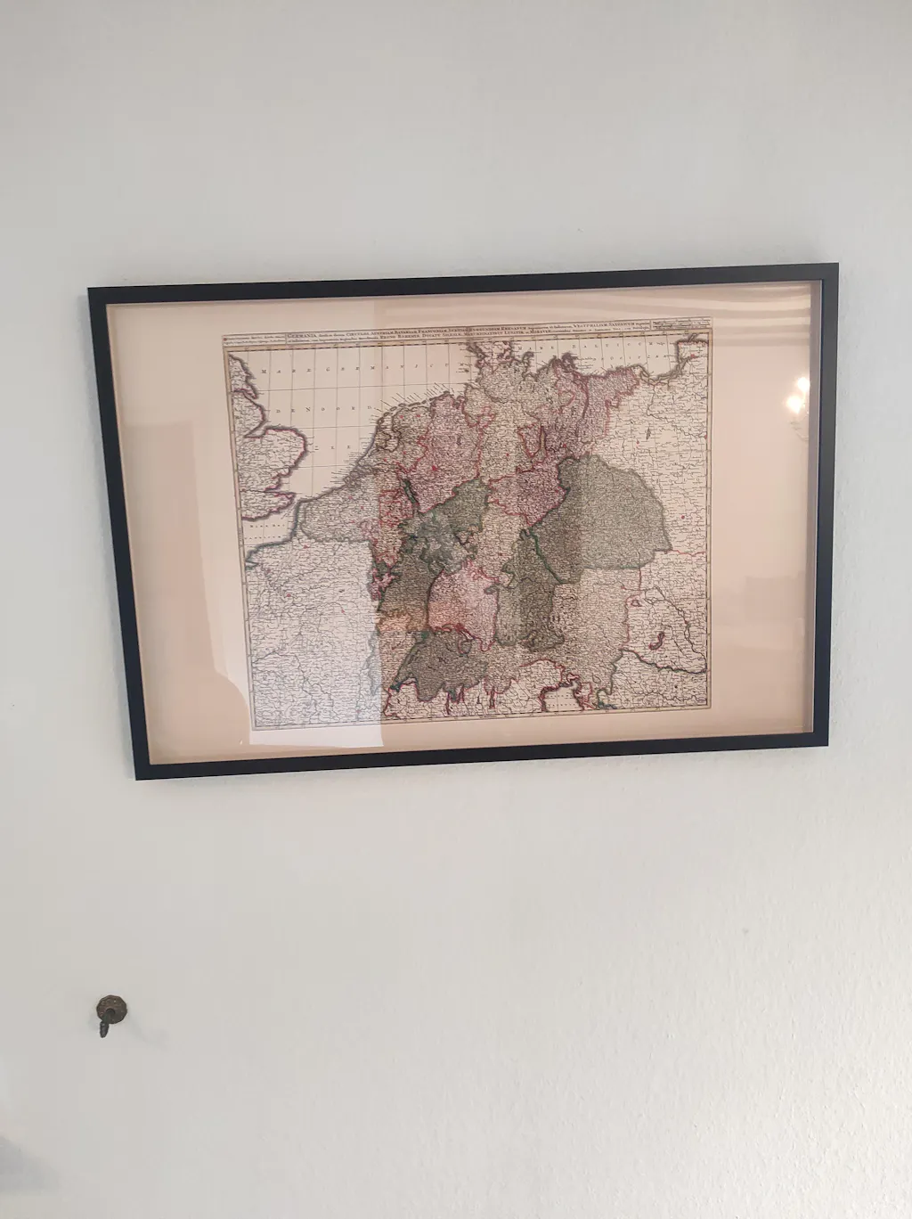
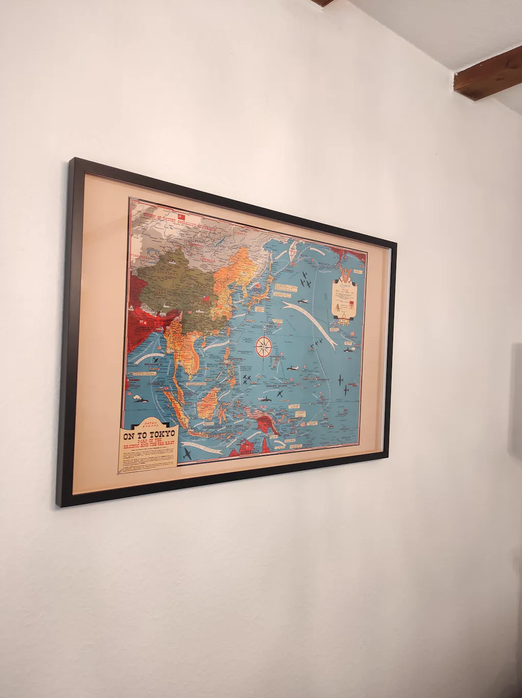
Great quality print, only when I got it i had correct the frame it was not put in properly, otherwise great.
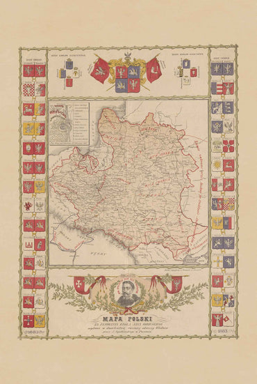
Thank you. Map looks great. Much appreciated.
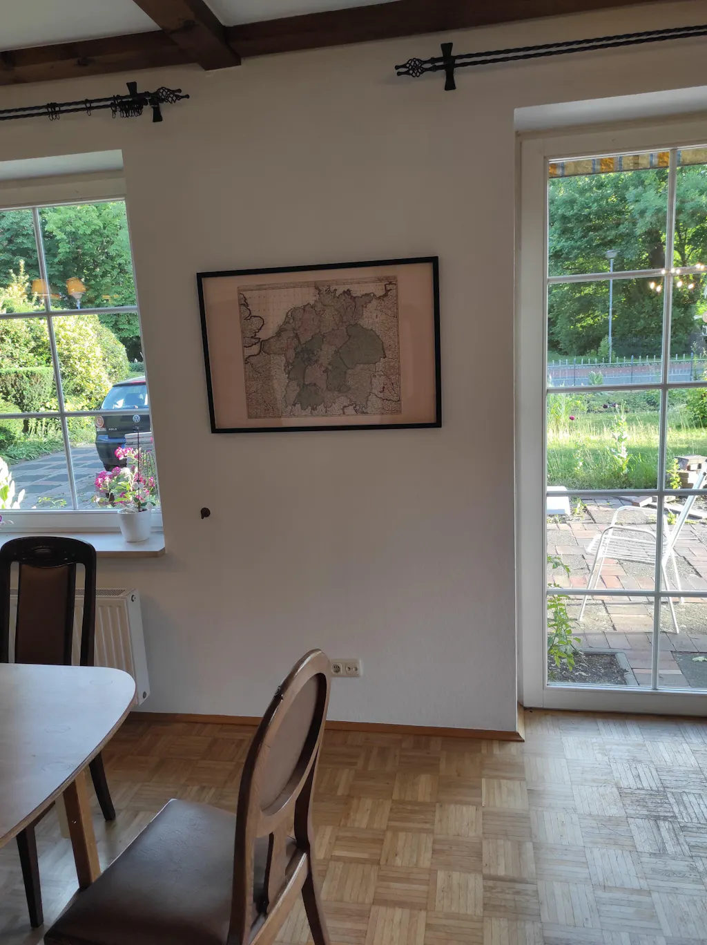
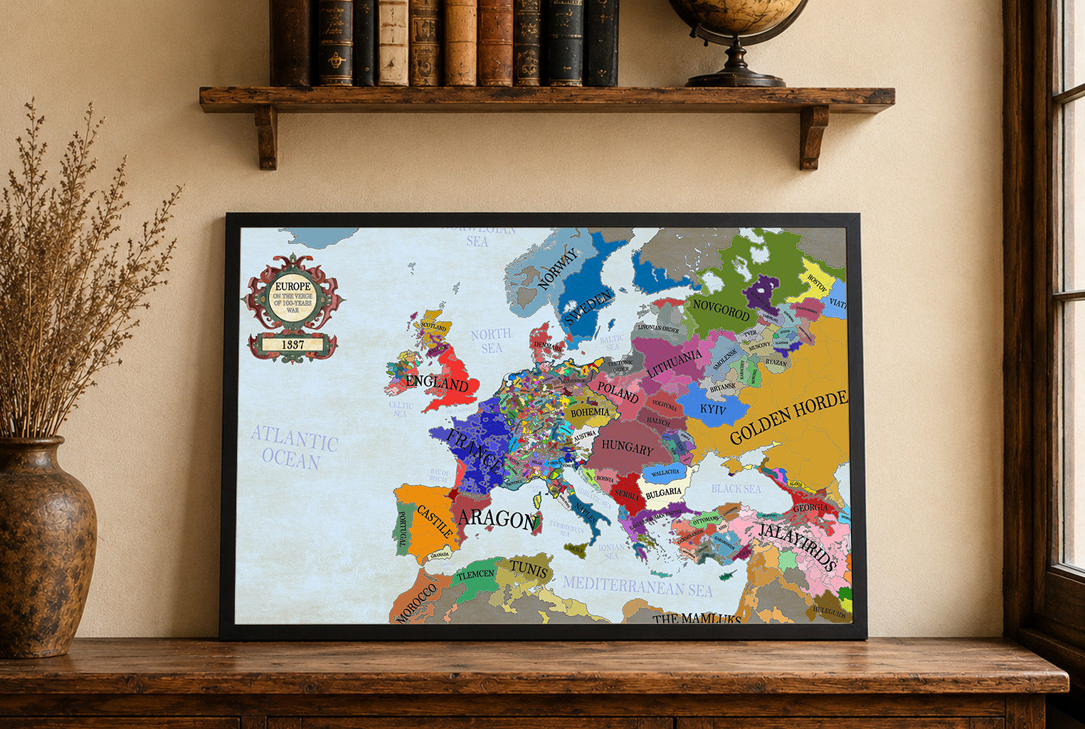
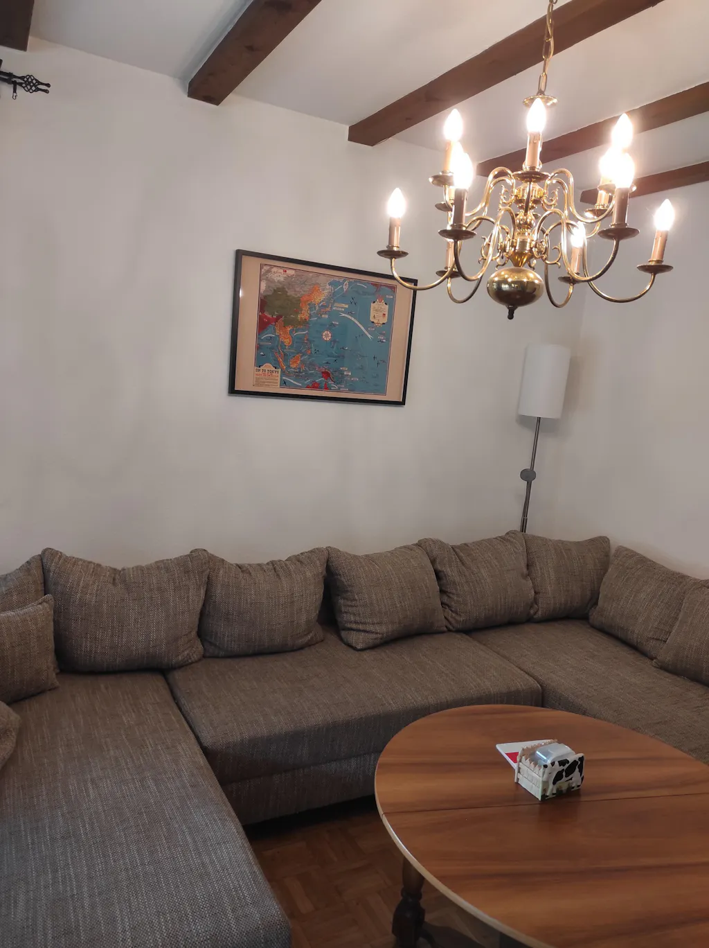
The Map arrived a few days ago but the shipment was really fast. Today I pinned them to the Wall. And the quality is impressive. The Frame is of a good quality, and the Map itself is also really good, feels like real fabric and not just thin paper. Exactly that what I expected a Professional Product to be.
The Shipment went really quick. I had the map at home in 2 days, even though I ordered it in the Evening. Also the payment was easy, I asked if I could pay with PayPal and Zlewikk made that Possible. I really appreciate that.
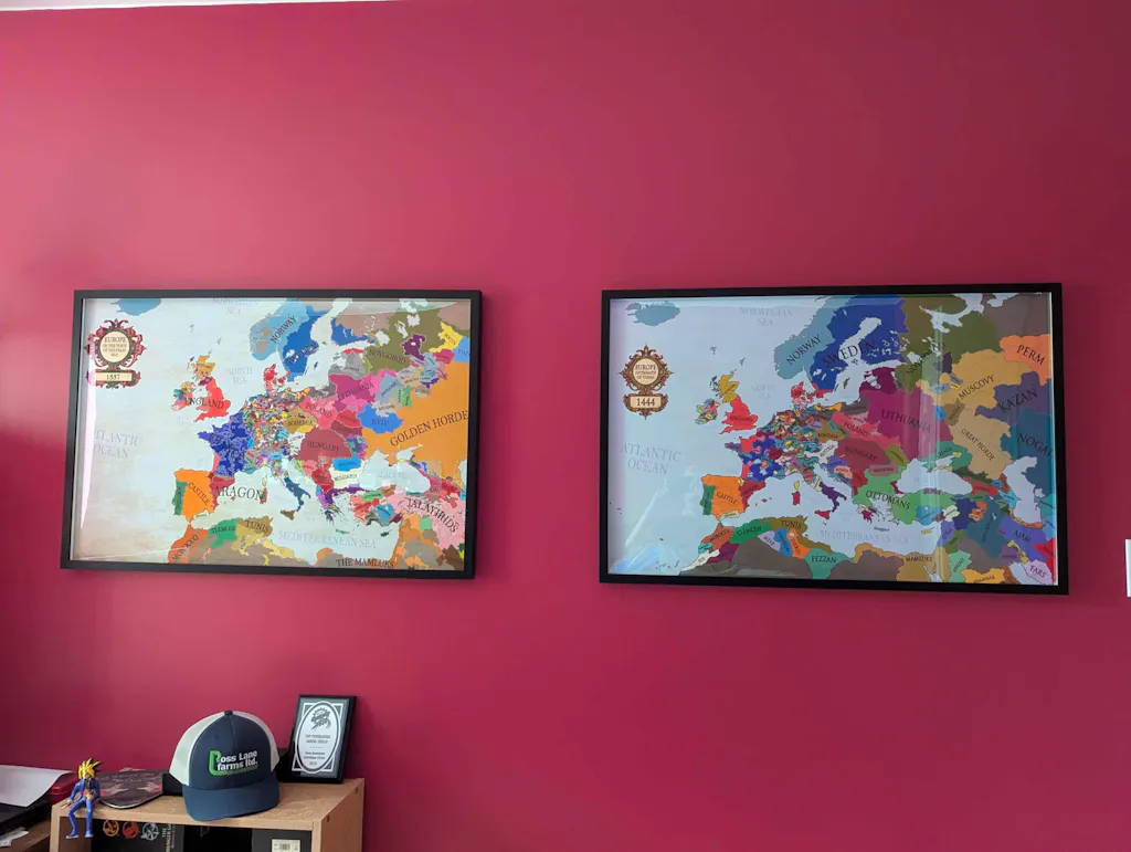
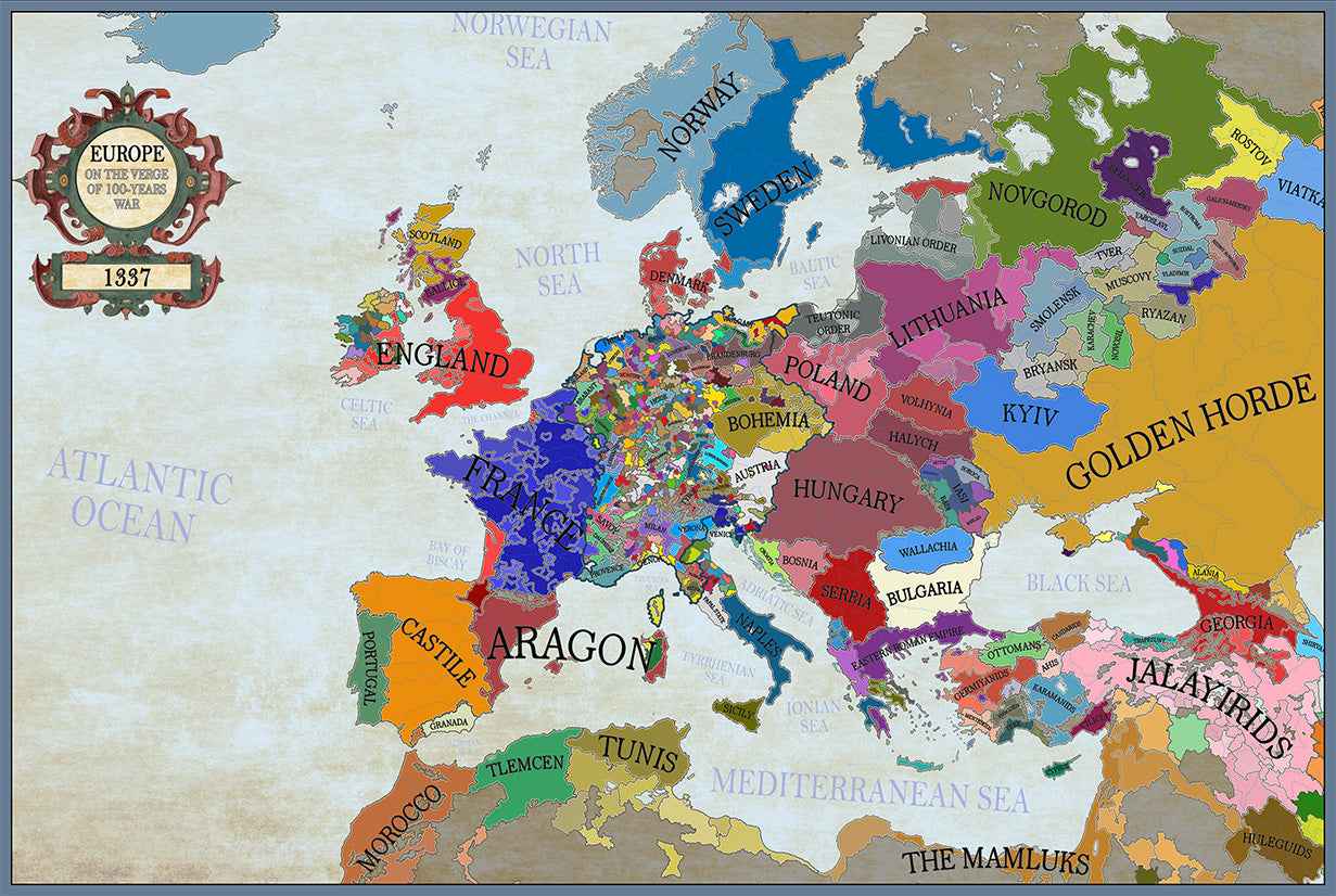
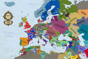
And the quality of the map is amazing. I can read all the Citynames of my home region, that is really impressive.