

Rotterdam is always 5 stars.
The quality of the canvasses are great!
Le mappe sono piene di particolari, davvero delle bellissime stampe.
You might like




42 items

148 items

54 items

17 items

12 items

7 items

34 items

14 items

11 items

7 items
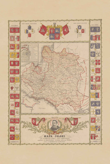
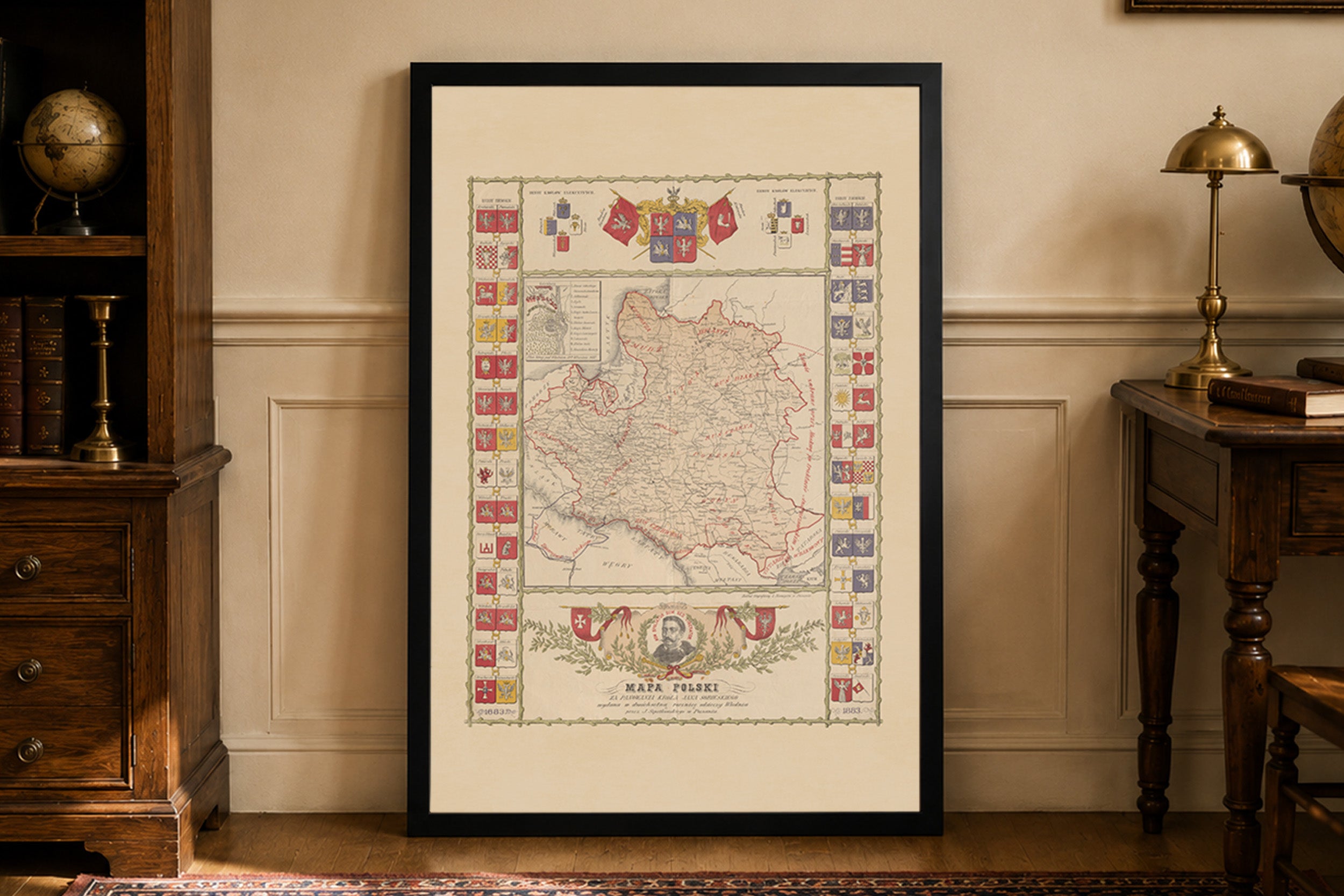
Discover a remarkable historical Poland map poster from the reign of Jan III Sobieski, published in 1883 by the Lithographic Institute of L. Neumeyer in Poznań....
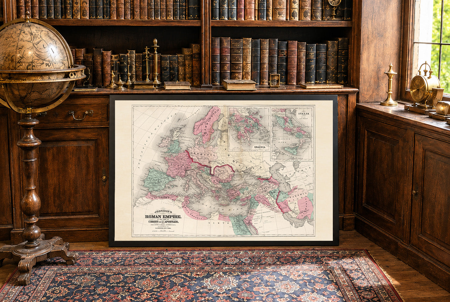
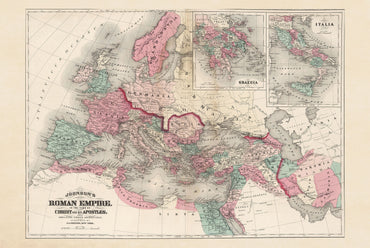
By A.D. 50, the Roman Empire had expanded further north and west, incorporating Britain’s southern regions after the invasion begun under Claudius in A.D. 43 while...
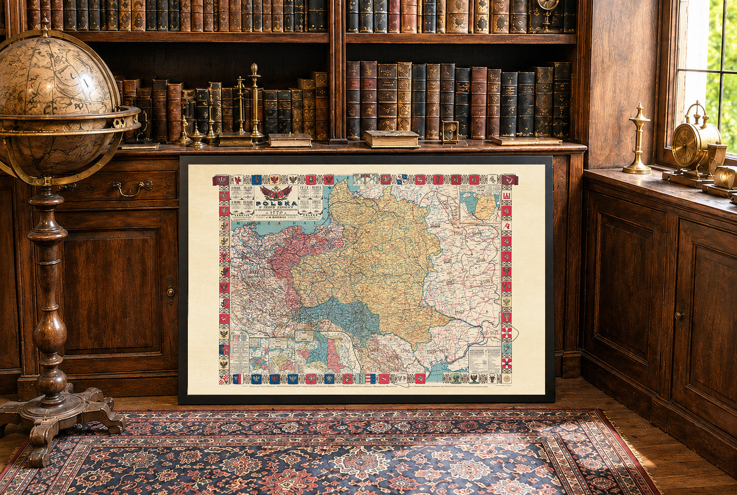
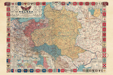
In 1770, the Polish-Lithuanian Commonwealth was one of the largest states in Europe but had become politically weakened by internal divisions and growing influence from neighboring...
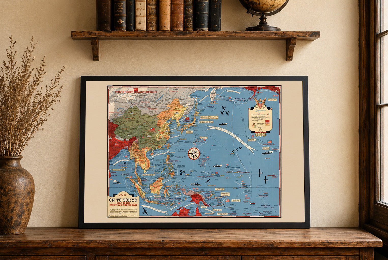
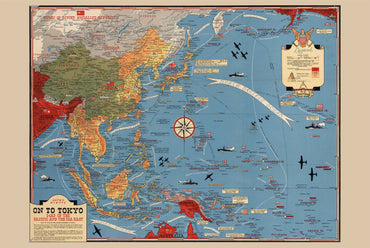
This work is titled "On To Tokyo: Map of the Pacific and the Far East," created by Stanley Turner in 1944. Published by C.C. Petersen Publishing...
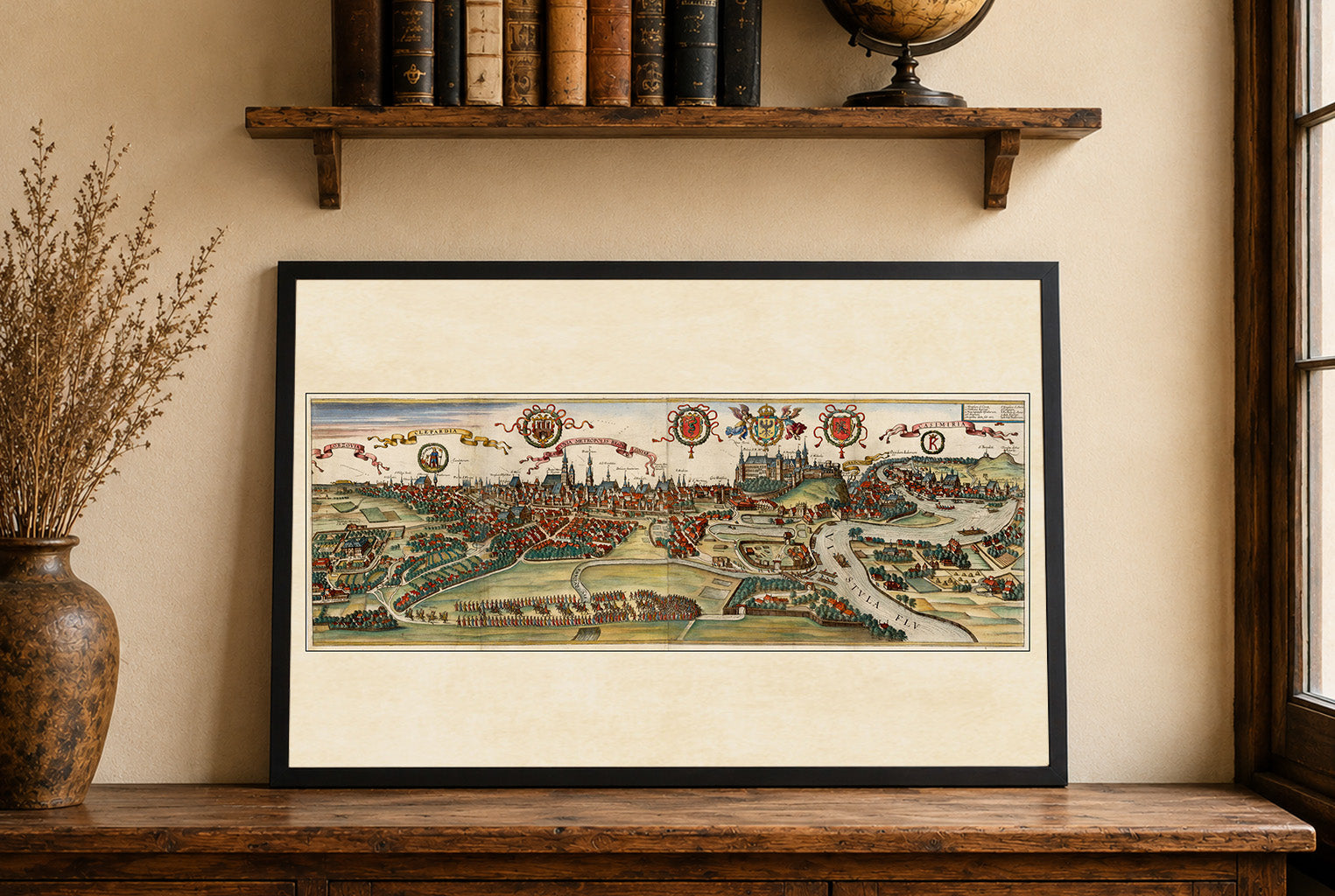
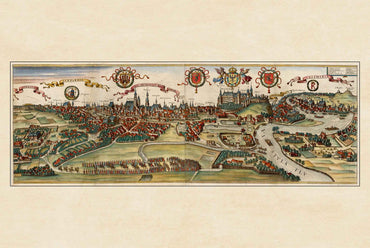
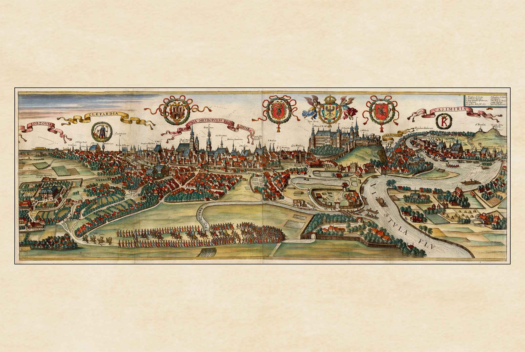
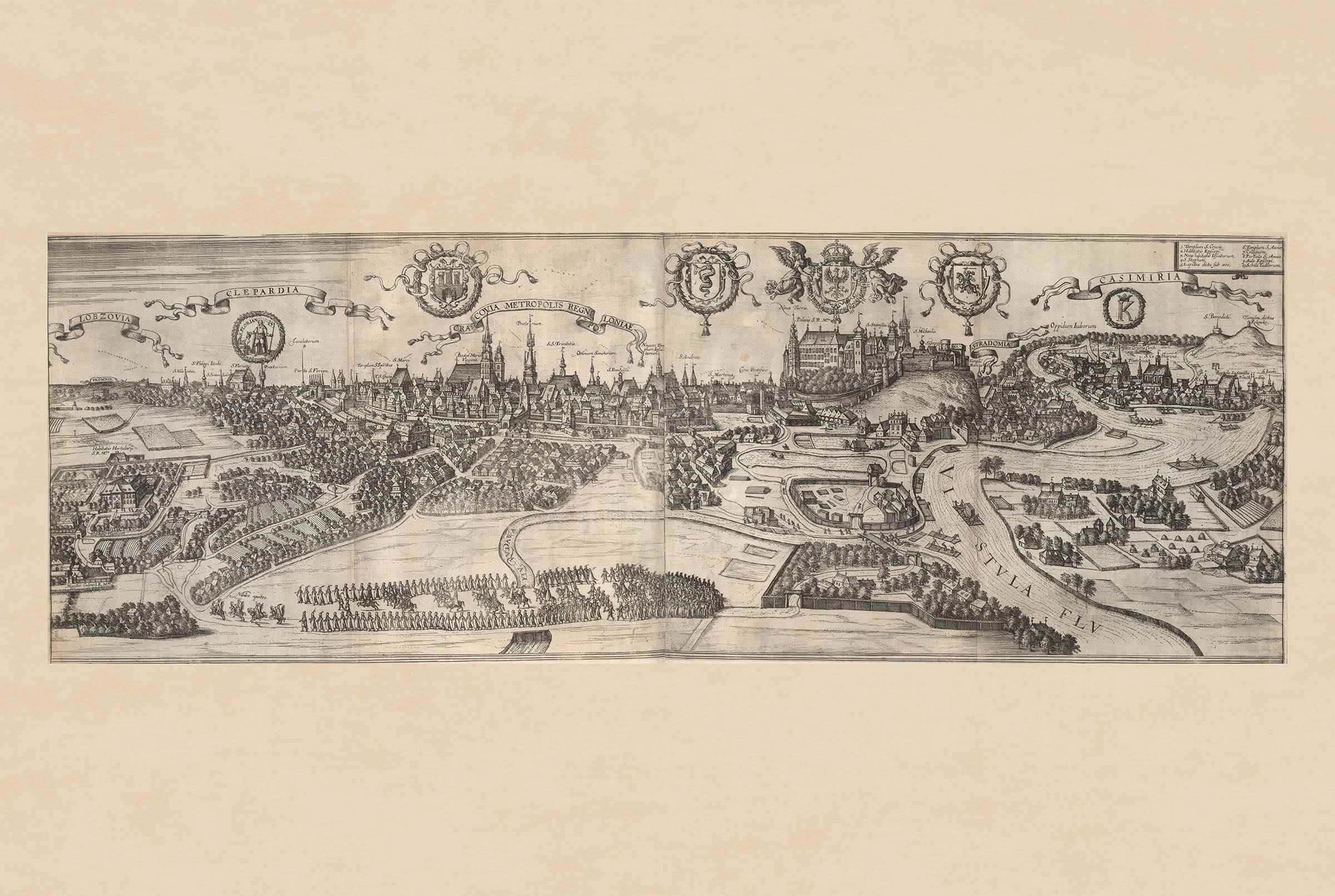
The image is a historical city view titled "Cracovia Metropolis" depicting Krakow, Poland, from the renowned atlas "Civitates Orbis Terrarum." Created by Georg Braun and Franz...
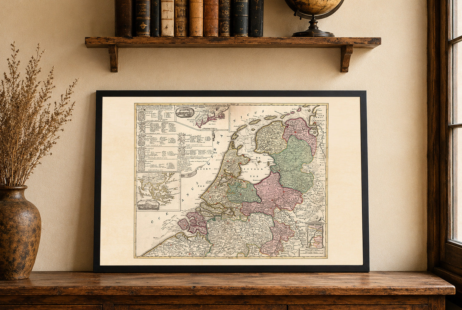
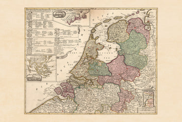
In 1740, the Dutch Republic was a federal republic composed of seven provinces governed by provincial estates and urban regent elites. Though still wealthy from global...
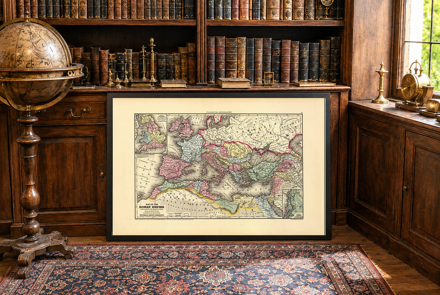
By A.D. 107, the Roman Empire reached its greatest territorial extent under Trajan, stretching from Britain and the Atlantic coast across Gaul, Hispania, and the Balkans...
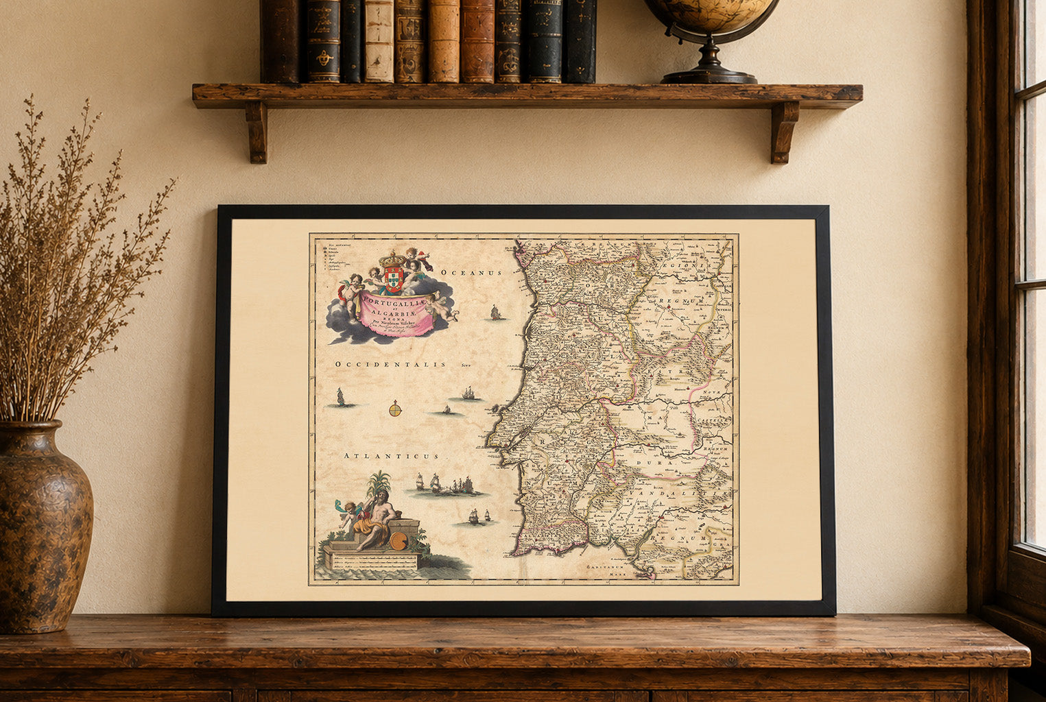
Discover the beauty of 17th-century cartography with this stunning Portugal Map Poster titled “Portugalliae et Algarbiae Regna,” created by Nicolaes Visscher around 1690. Published as part...
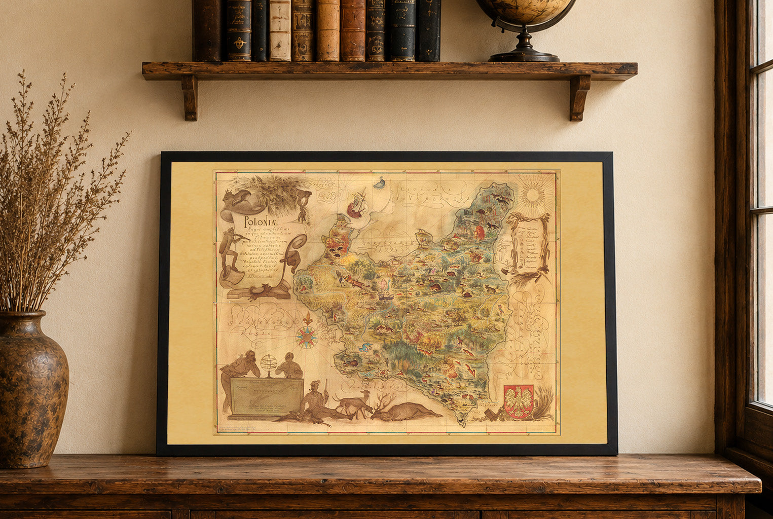
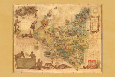
The artwork titled "Poloniae" was created by Tadeusz Lipski and Eliasz Kanarek in 1938. This pictorial map was printed by the Central Board of Polish State...
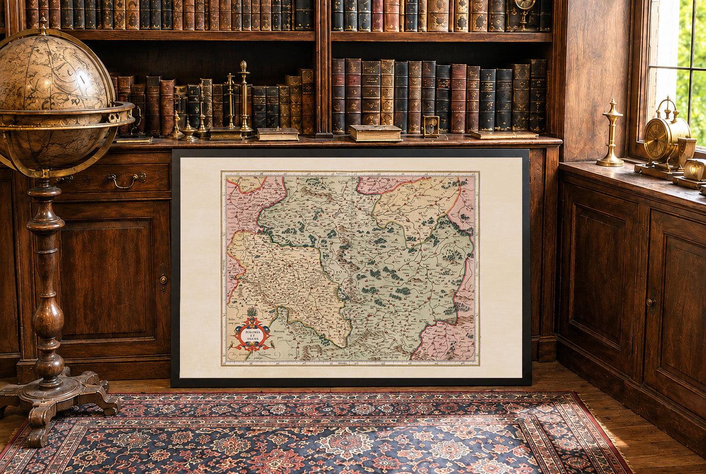
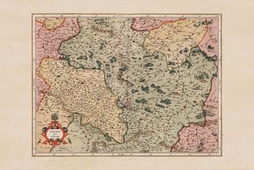
the work is titled "Polonia Et Silesia," created by Gerhard Mercator and published by Hendricus Hondius in 1623. This map is part of a world atlas...
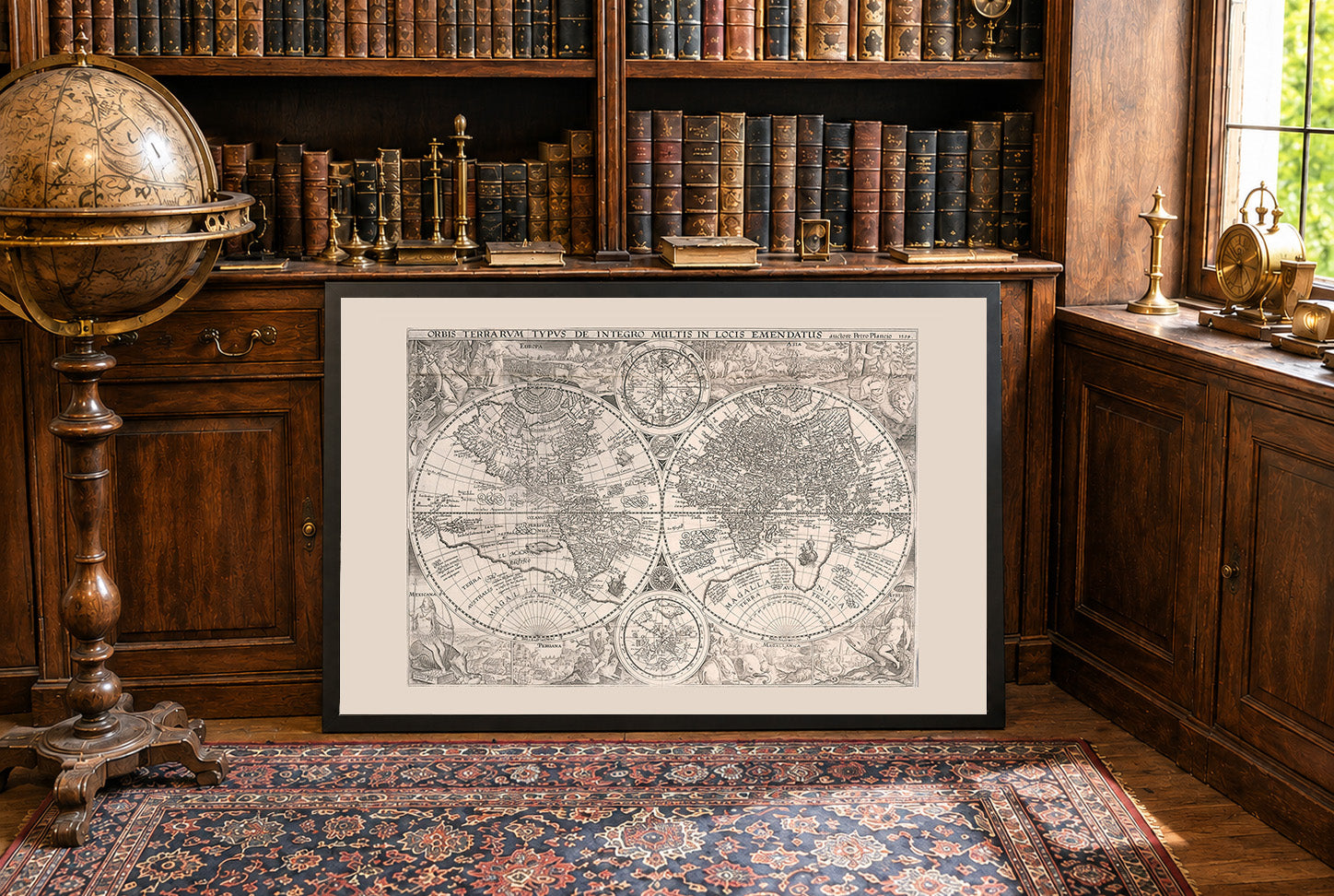
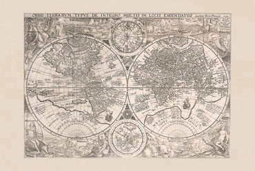
The work titled "Orbis Terrarum Typus de Integro Multis in Locis Emendatus" is a world map created in 1594 by Jan Huygen van Linschoten, with contributions...
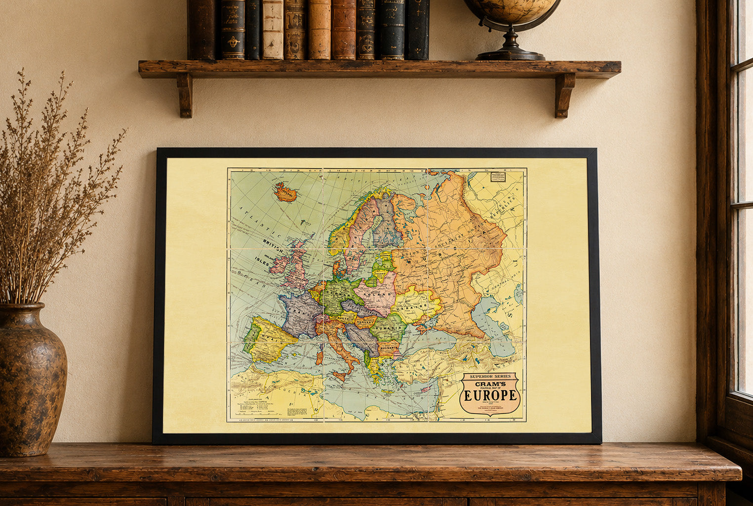
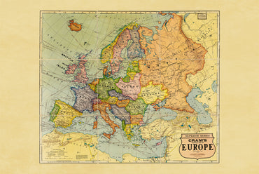
In 1925, Europe was in the Interwar Period, with new national borders and states created after the collapse of earlier empires. Efforts to stabilize the continent...
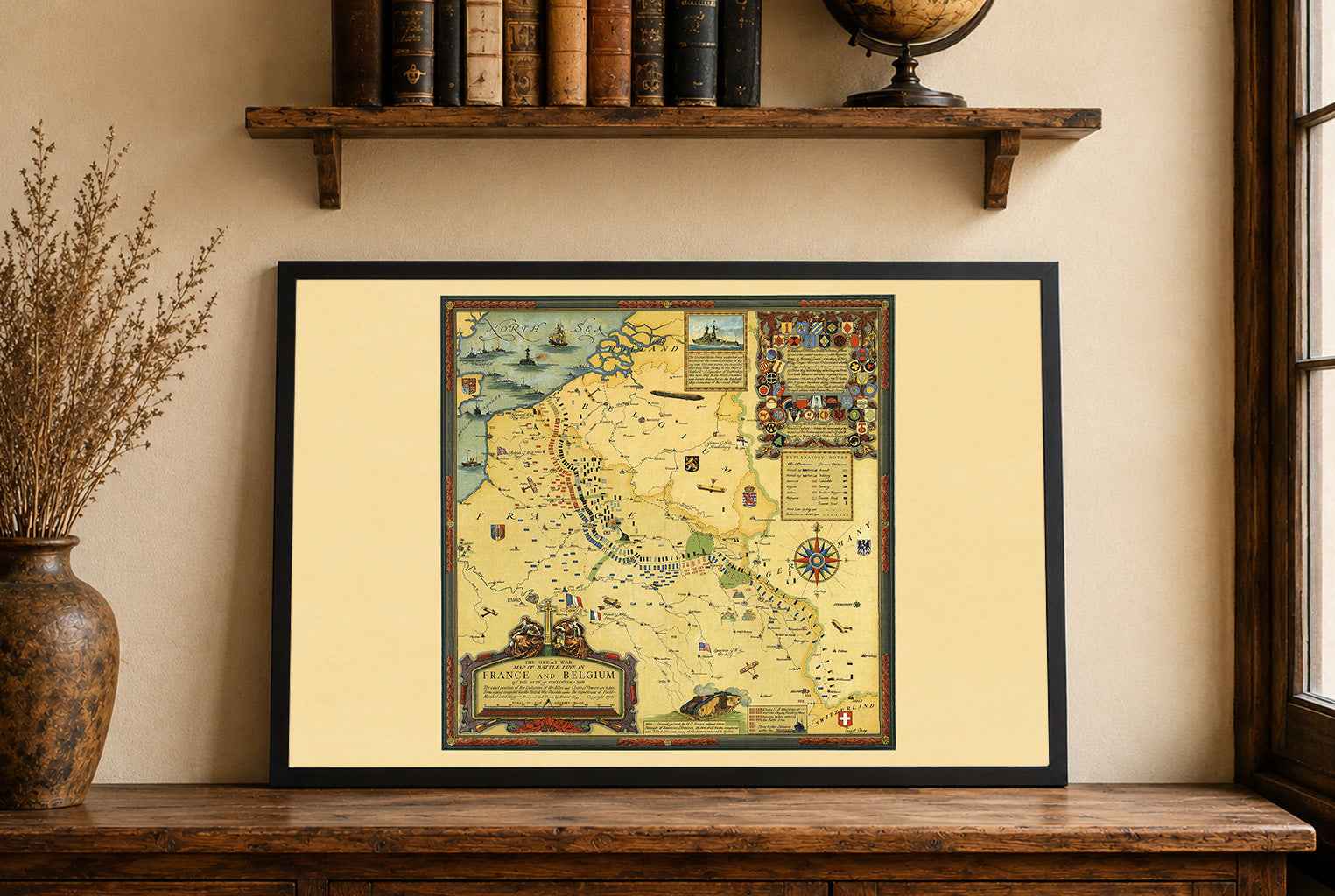
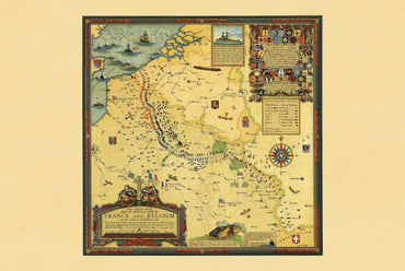
Explore one of the most detailed visual records of the First World War with this remarkable Great War Battle Lines Map Poster, designed by Ernest Clegg...
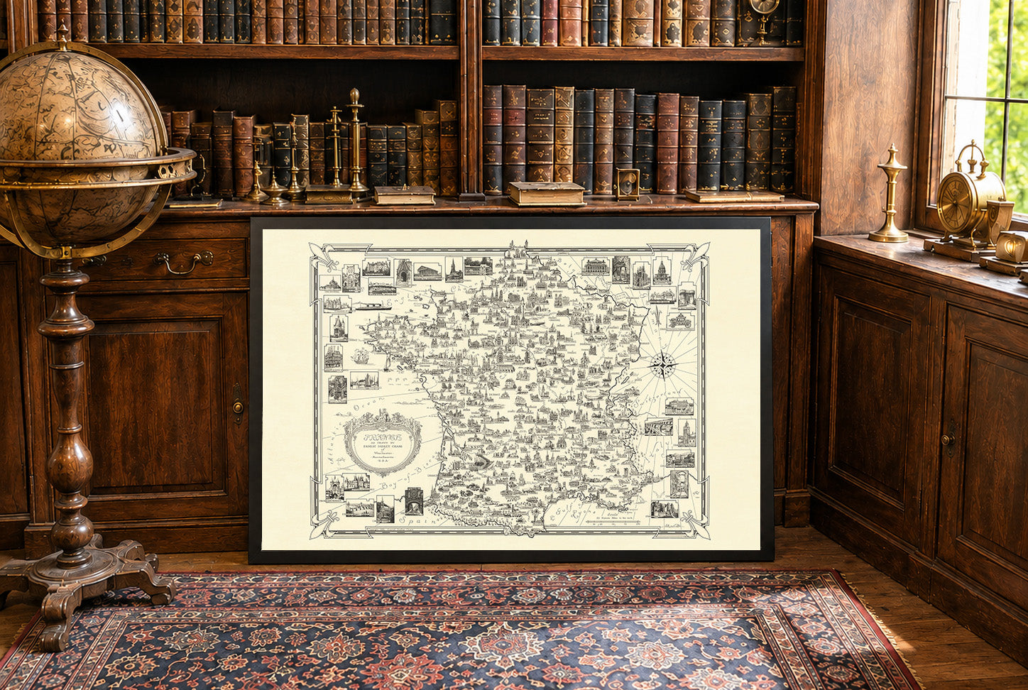
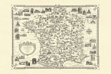
Discover the beauty and cultural richness of France with this stunning France Pictorial Map Poster created by Ernest Dudley Chase in 1935. Titled “France as drawn...
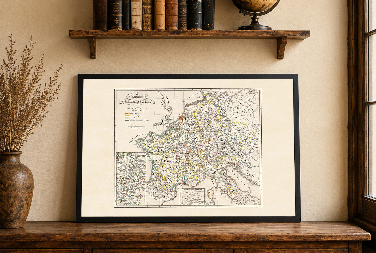
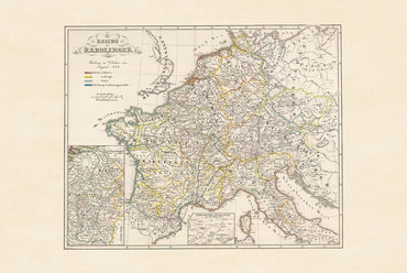
Explore the fascinating history of medieval Europe with this detailed Carolingian Empire map poster titled “Die Reiche der Karolinger,” created by Karl Spruner von Merz and...
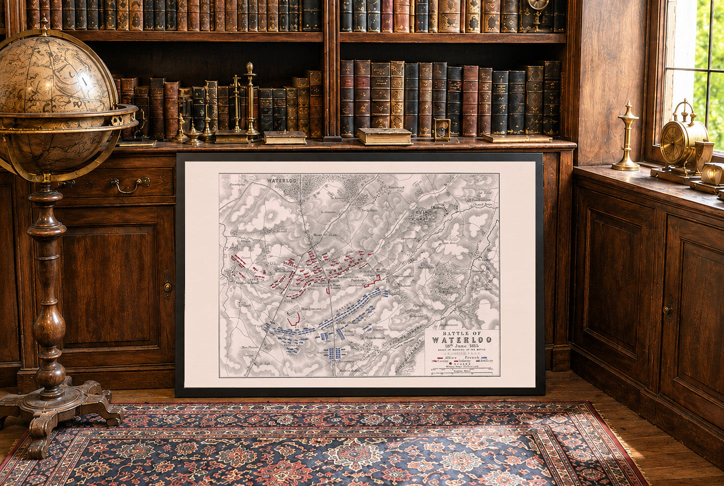
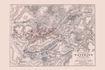
The image is a historical military map titled "Battle of Waterloo, 18 June 1815: sheet 1st., morning of the battle." It was created by Alexander Keith...
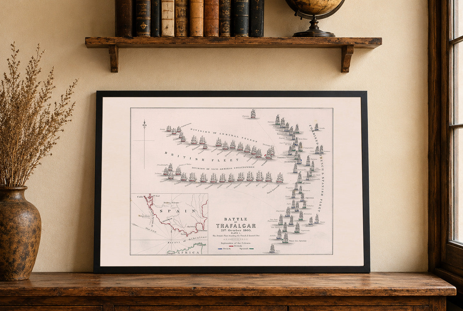
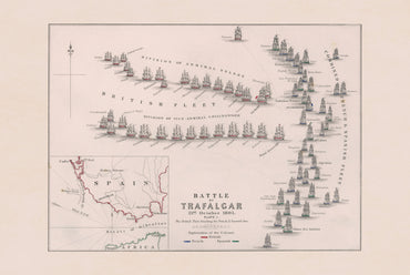
The work is titled "Battle of Trafalgar, 21 October 1805: Plate 1," authored by Archibald Alison and Alexander Keith Johnston, published in 1852. It is part...
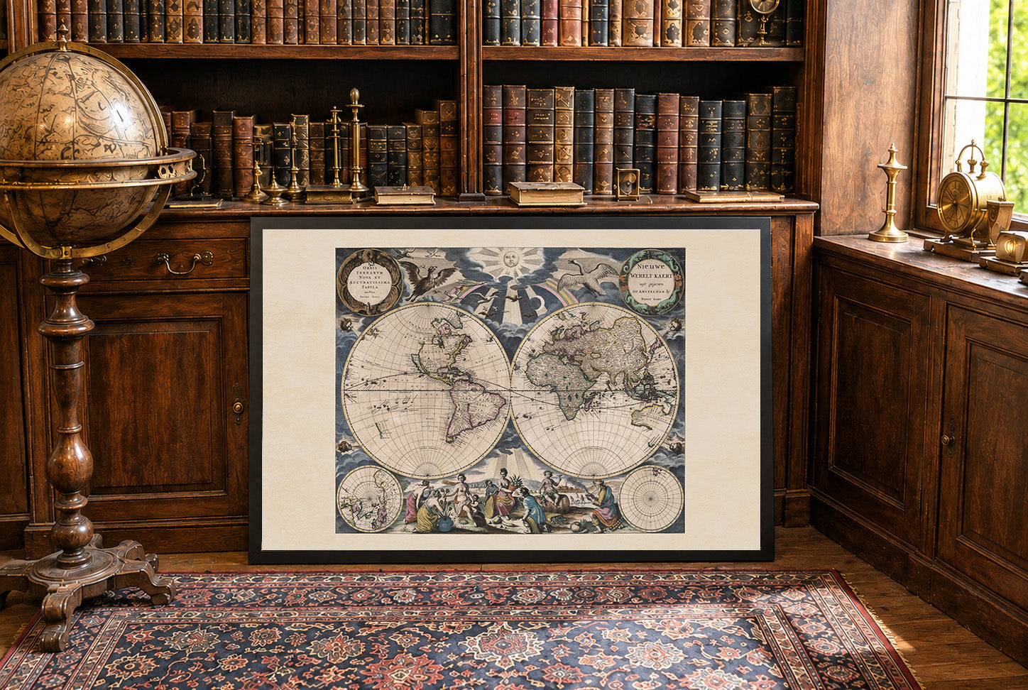
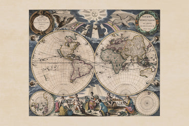
The work titled "Nieuwe Werelt Kaert" by Pieter Goos, dated 1667, is a beautifully detailed world map, measuring 55 cm in width and 45 cm in...
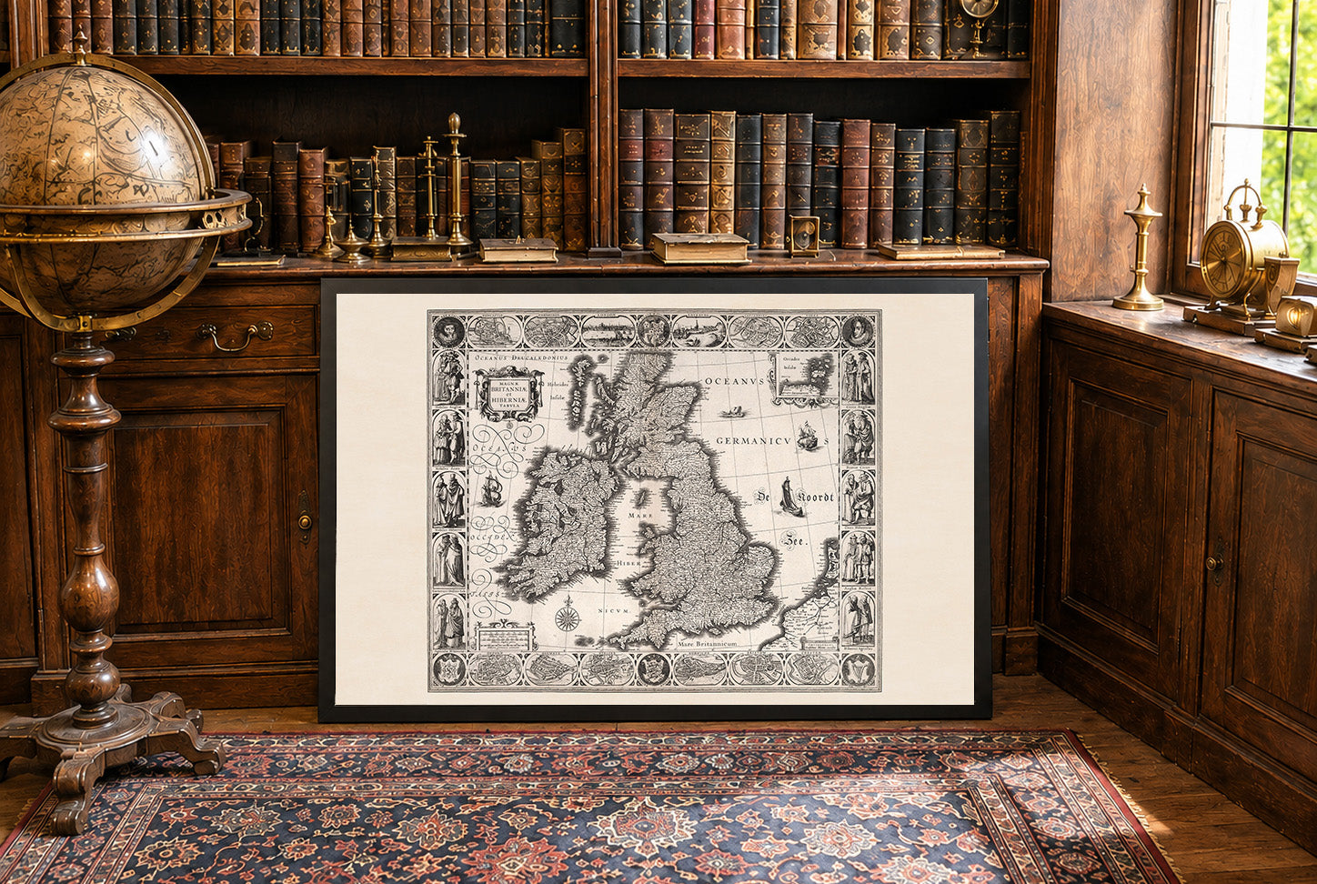
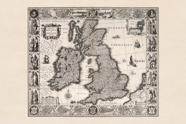
In 1630, the British Isles were ruled by Charles I over England, Scotland, and Ireland, maintaining a personal union of the three kingdoms. Tensions over taxation,...
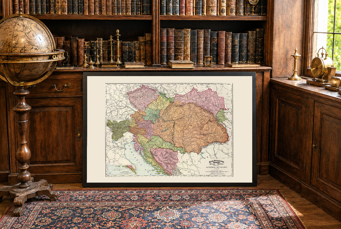
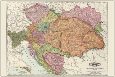
In 1897, the Austria-Hungary was a vast multinational empire ruled by Franz Joseph I, stretching from the Alps to the Balkans. While economically and culturally dynamic,...

23 items

41 items

60 items

27 items

58 items

10 items