

Rotterdam is always 5 stars.
The quality of the canvasses are great!
Le mappe sono piene di particolari, davvero delle bellissime stampe.
You might like




42 items

148 items

54 items

17 items

12 items

7 items

34 items

14 items

11 items

7 items
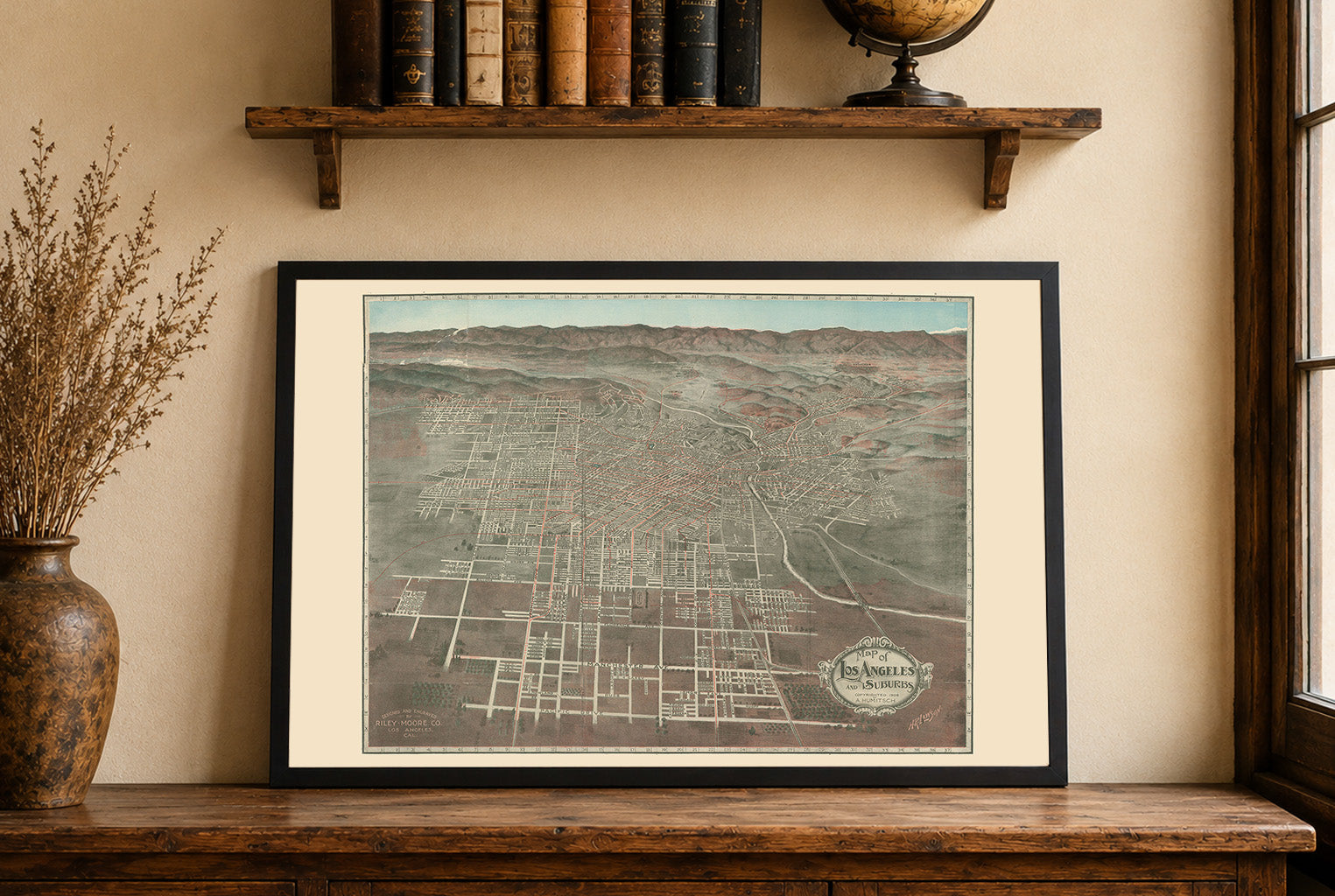
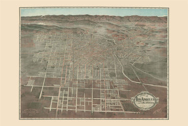
This bird’s-eye view map, titled “Map of Los Angeles and Suburbs,” was produced in 1906 by Lawson, H. R. and the Riley-Moore Co., based in Los...
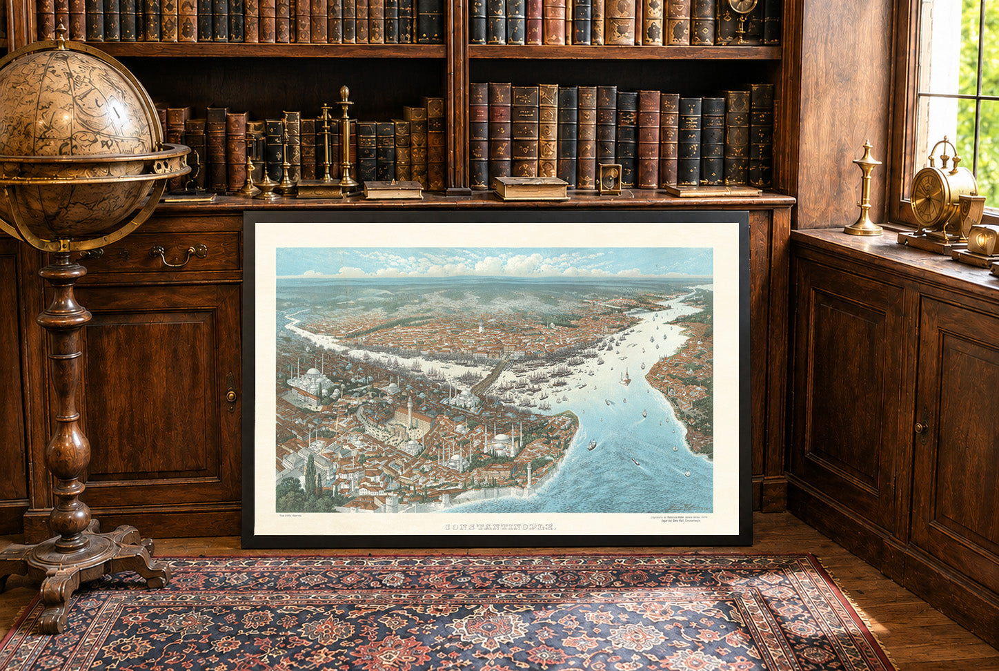
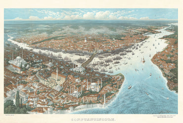
In 1896, Constantinople was the political and cultural center of the Ottoman Empire, ruled by Abdul Hamid II. The city remained one of the most important...
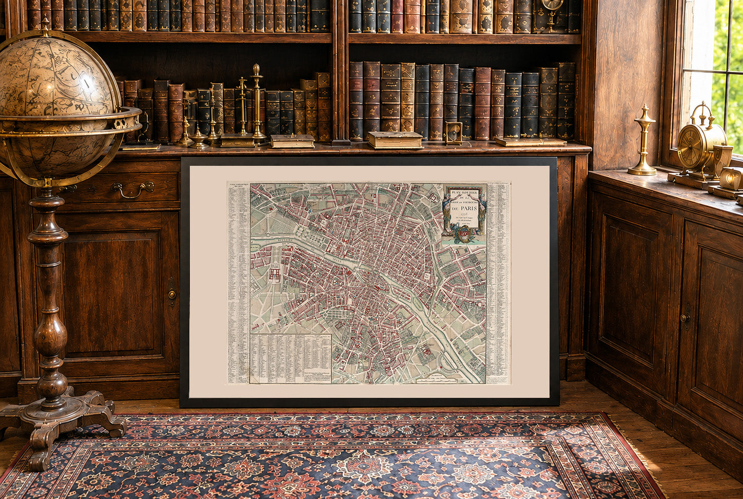
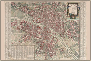
In 1778, Paris was the political and cultural heart of the Kingdom of France, ruled by Louis XVI. The city was one of Europe’s largest urban...
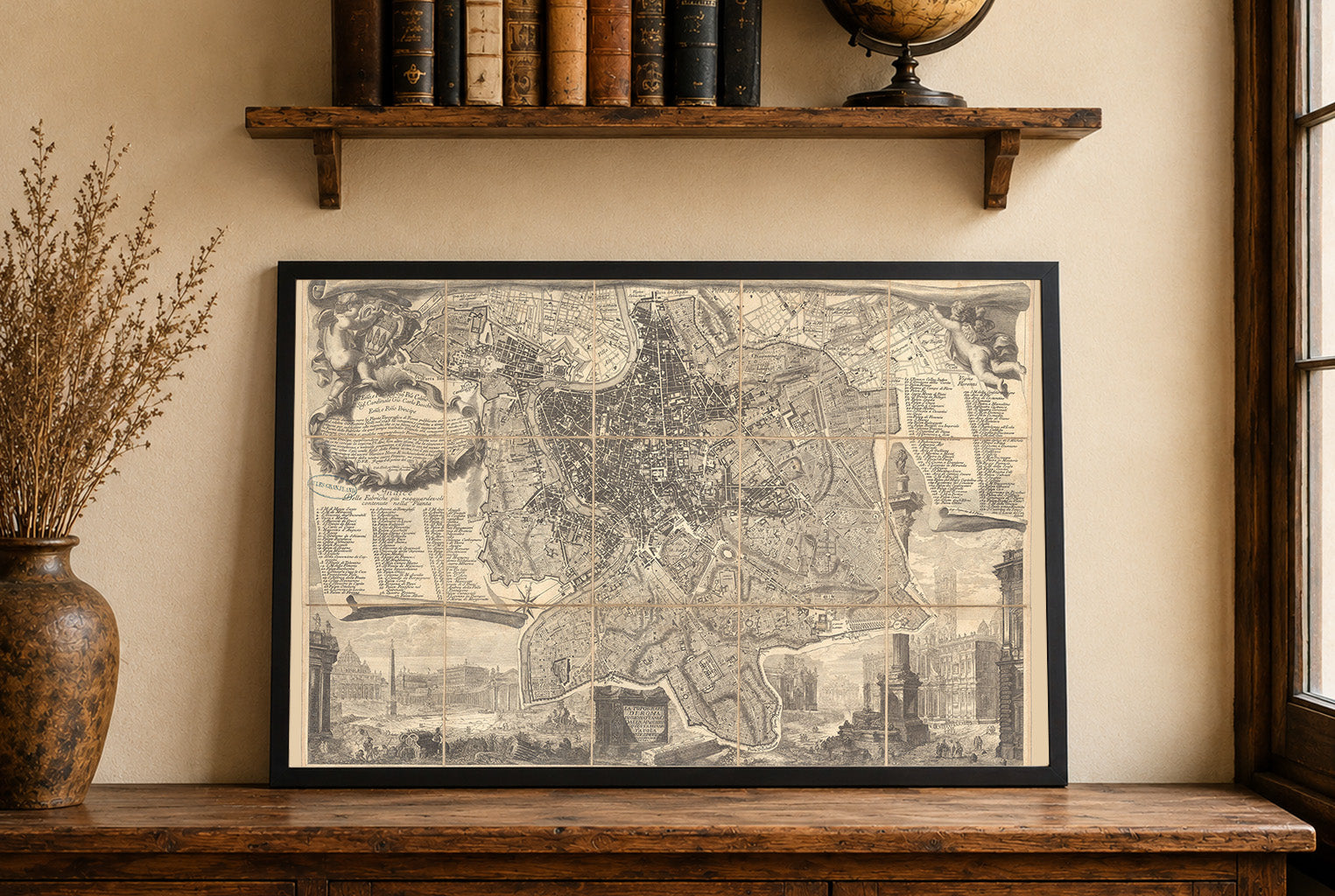
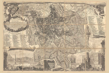
The work titled "La topografia di Roma di Gio. Batta Noli dalla maggiore in qvesta minor tauola dal medesimo ridota" is a detailed map of Rome...
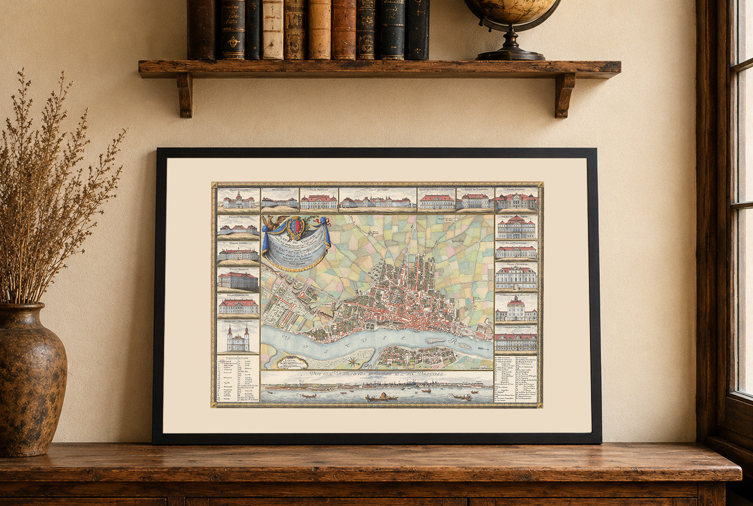
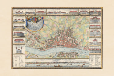
In 1772, Warsaw was the political center of the Polish-Lithuanian Commonwealth, serving as the seat of the royal court and the Sejm of the PLC. The...
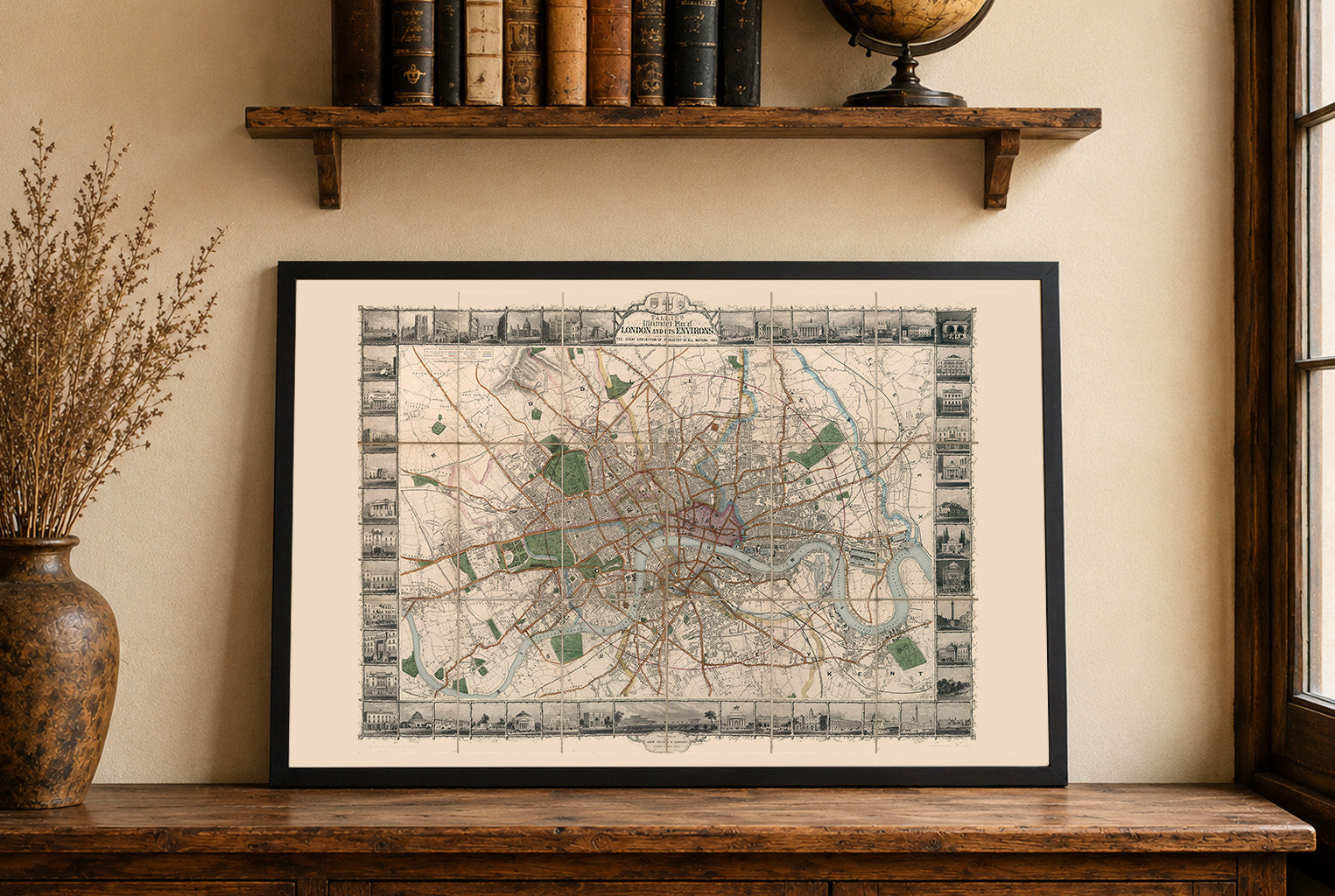
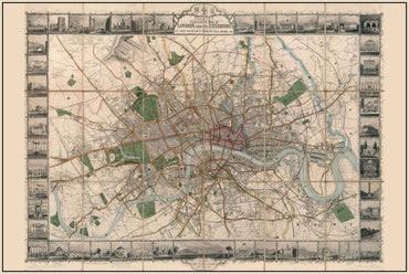
In 1851, London was the largest city in the world and the political, financial, and commercial center of the British Empire. That year the city hosted...
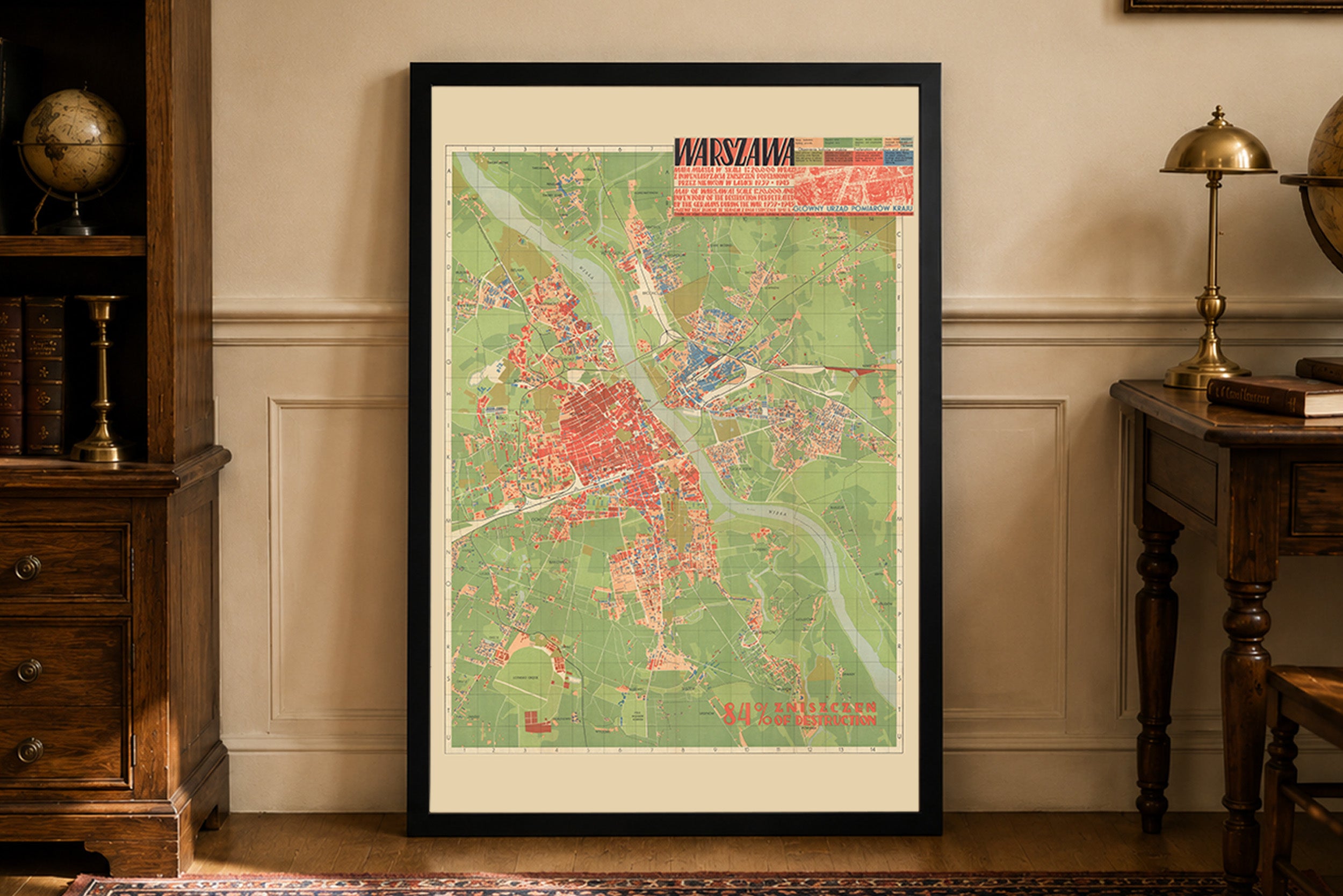
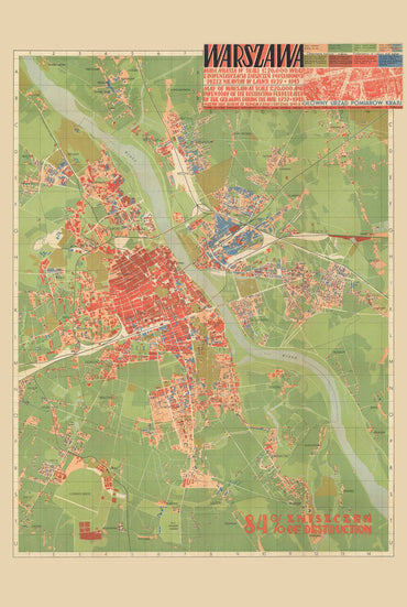
The map titled "Warszawa mapa miasta w skali 1:20 000 wraz z inwentaryzacją zniszczeń popełnionych przez Niemców w latach 1939-1945" is a detailed cartographic representation of...
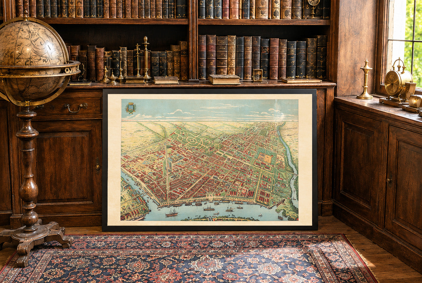
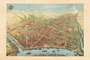
This work presents a grand, hand-colored lithographic bird’s-eye view of Saigon (now Ho Chi Minh City) as it appeared in 1902 during the height of the...
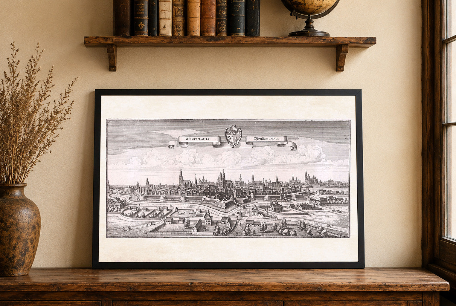
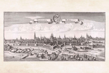
The image is an engraving titled "Wratislauia. Breslaw," created by Matthaeus Merian in collaboration with Martin Zeiller, dated 1650. This work is part of "Topographia Bohemiæ,"...
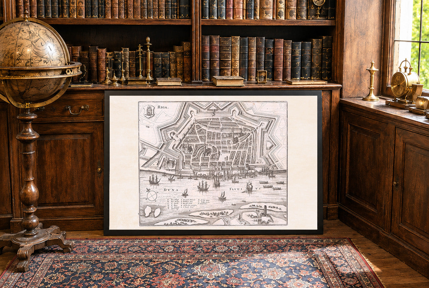
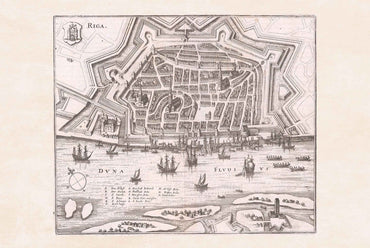
This detailed engraved city view depicts Riga, the capital of Latvia, as seen from across the Daugava River (labeled as “DVNA FLUVIUS”). The composition is oriented...
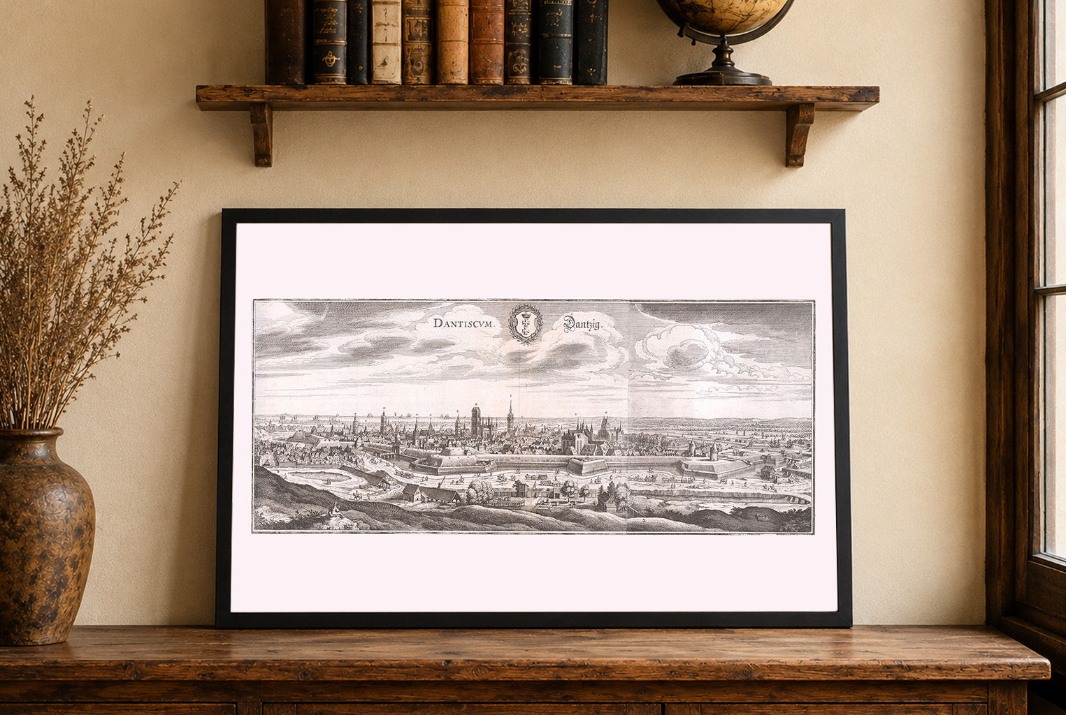
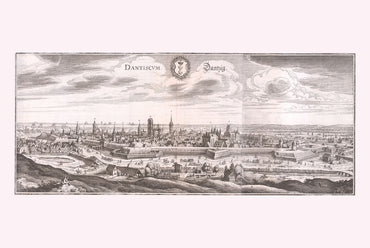
This is a finely detailed 17th-century engraved city view of Danzig (modern-day Gdańsk, Poland), created by Matthaeus Merian and his workshop, with accompanying text by Martin...
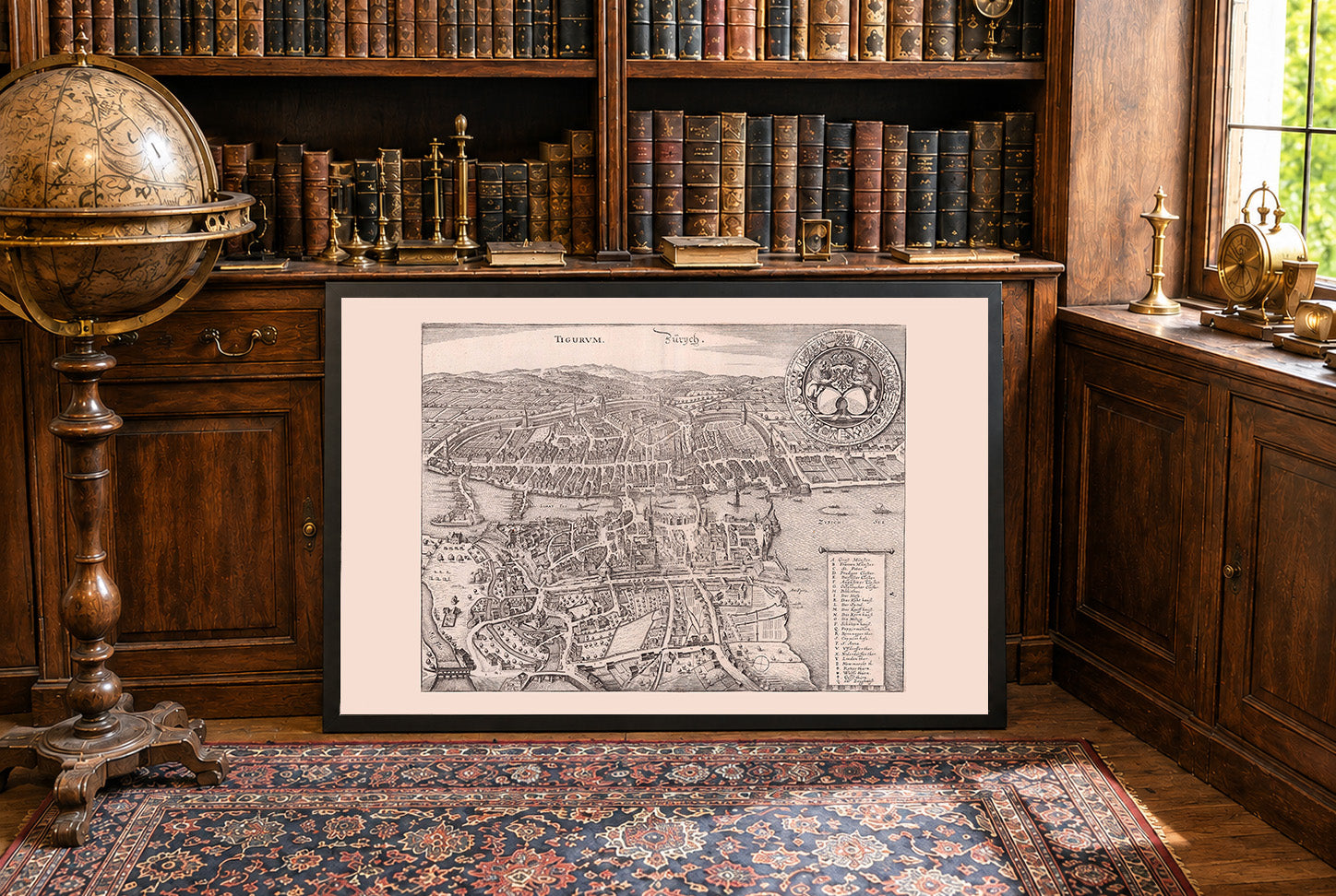
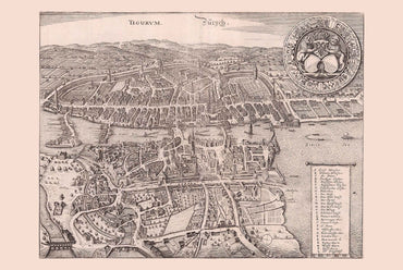
This detailed engraved view titled “Tigurum. Zurych.” was produced in 1654 by the Merian workshop for the third edition of the “Topographia Helvetiae,” an influential illustrated...
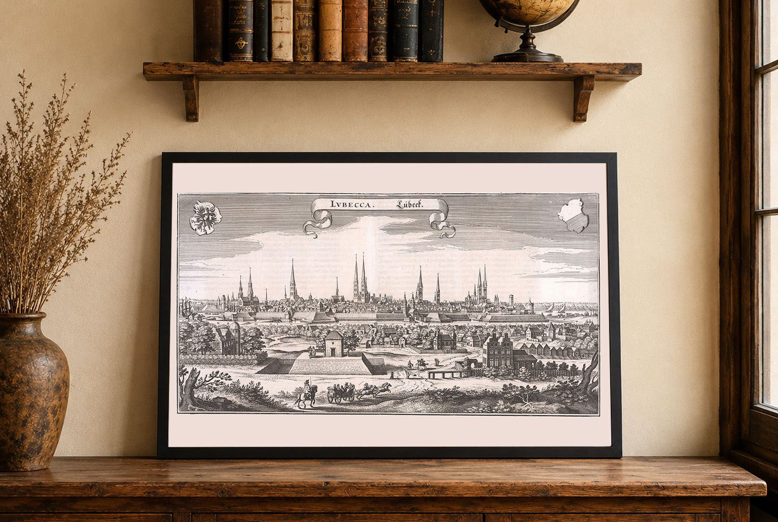
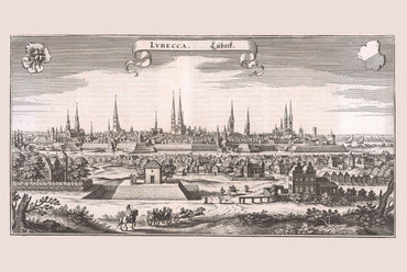
This work is a finely detailed copperplate engraving presenting a panoramic view of the city of Lübeck (Lubecca), a significant Hanseatic city in northern Germany. The...
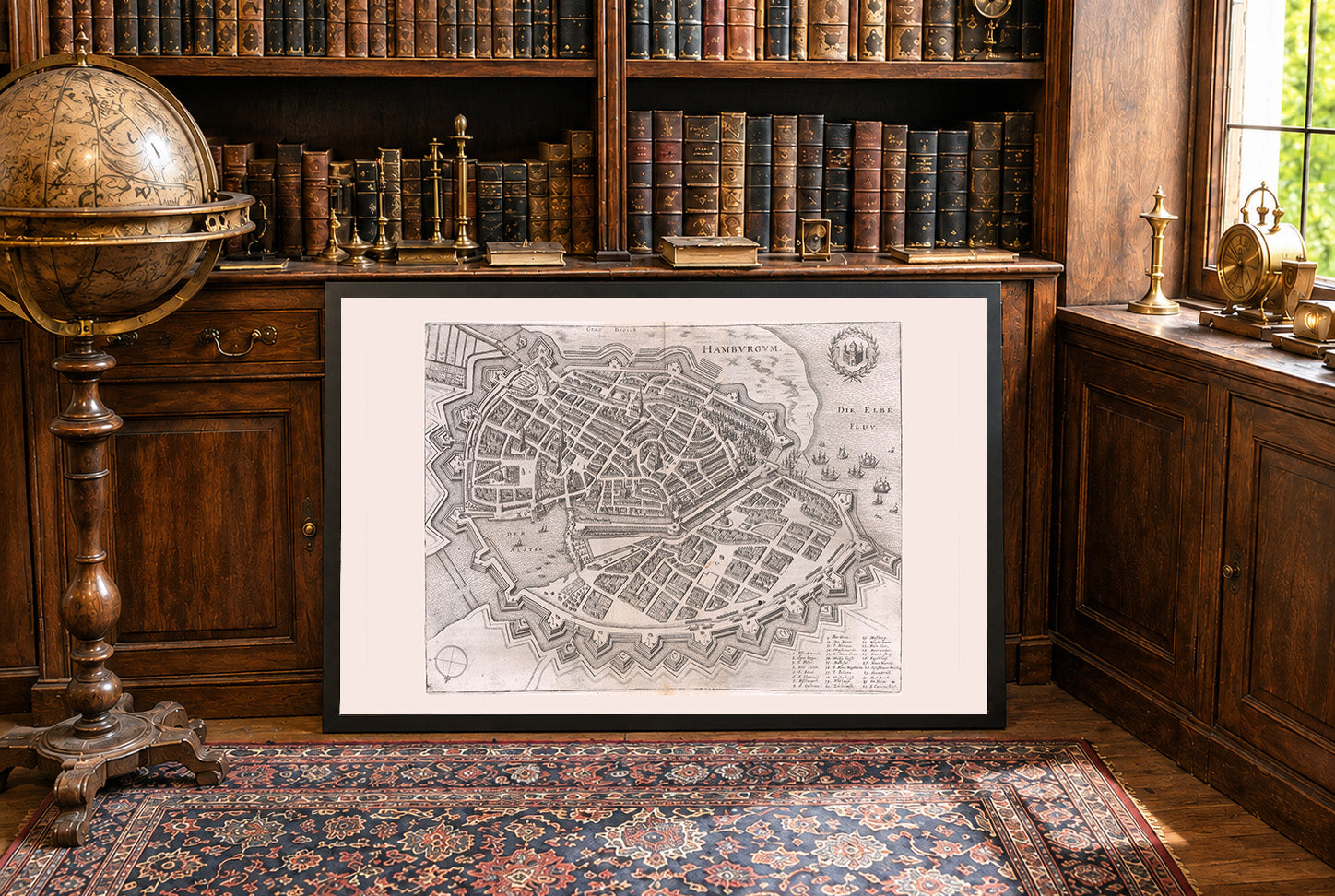
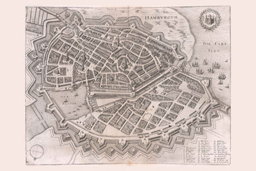
This meticulously engraved bird’s-eye view presents the fortified city of Hamburg as it appeared in the mid-17th century. The city is rendered with remarkable clarity and...
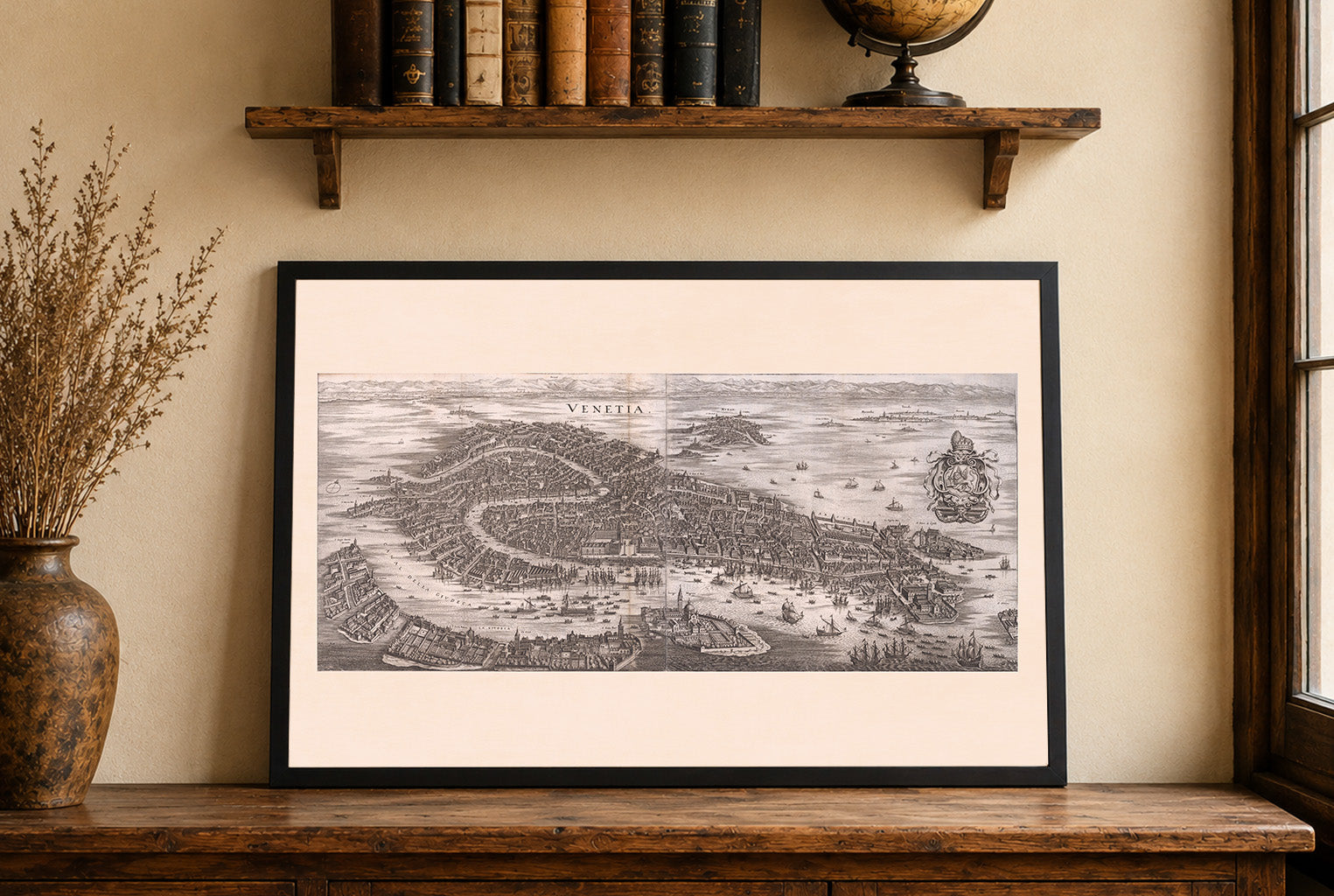
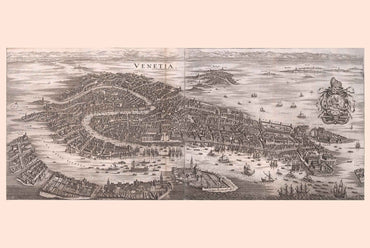
This work is a panoramic bird’s‑eye view of Venice, presented as a long horizontal engraving. The title “VENETIA” is clearly inscribed at the top center, anchoring...
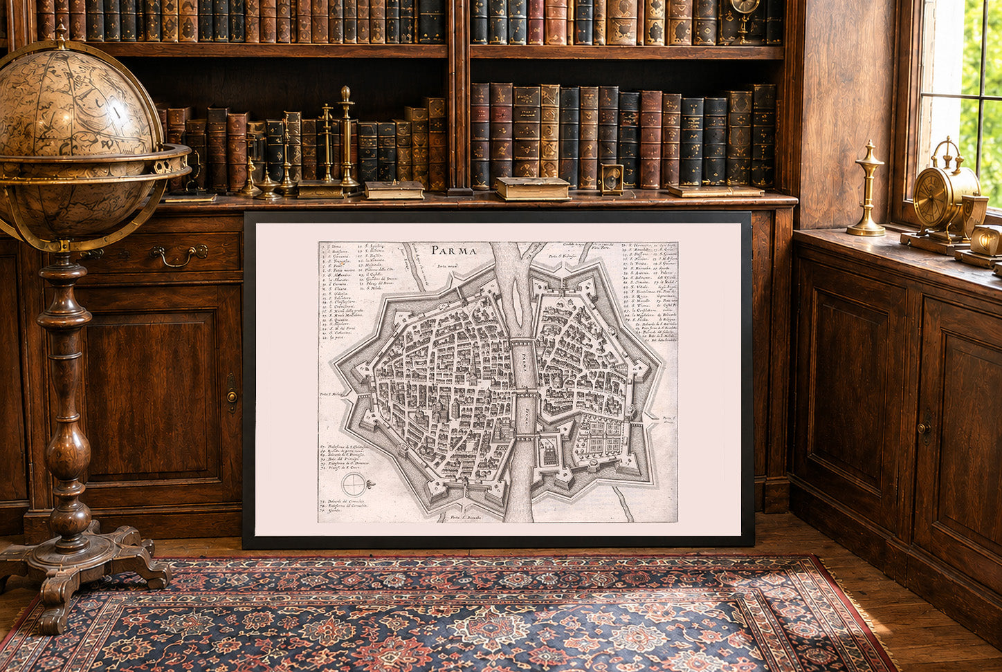
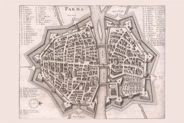
This work is an early modern engraved plan of the city of Parma, presented from an elevated, schematic viewpoint typical of late 17th‑century urban cartography. The...
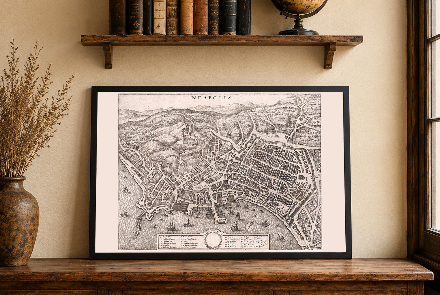
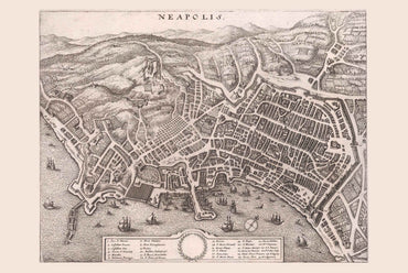
This engraving presents a detailed early modern plan view of Naples (Neapolis), oriented with the Bay of Naples along the lower edge and the hills and...
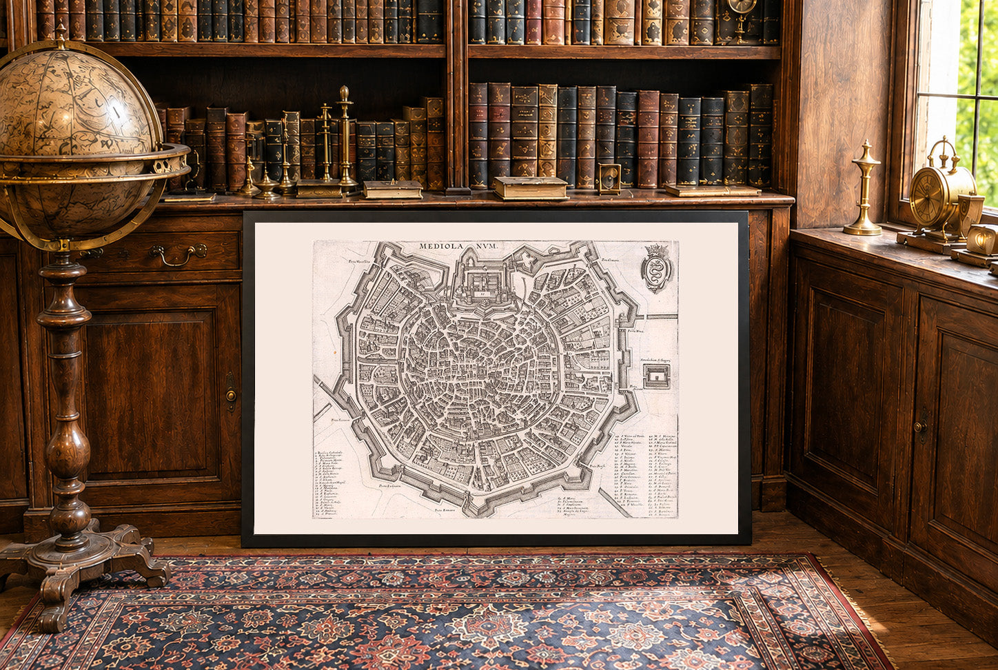
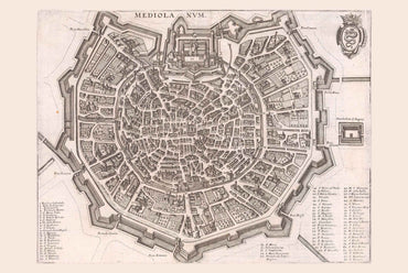
This work is a detailed early modern city plan of Milan, presented under its Latin name “MEDIOLANVM”, prominently inscribed at the top center. It forms part...
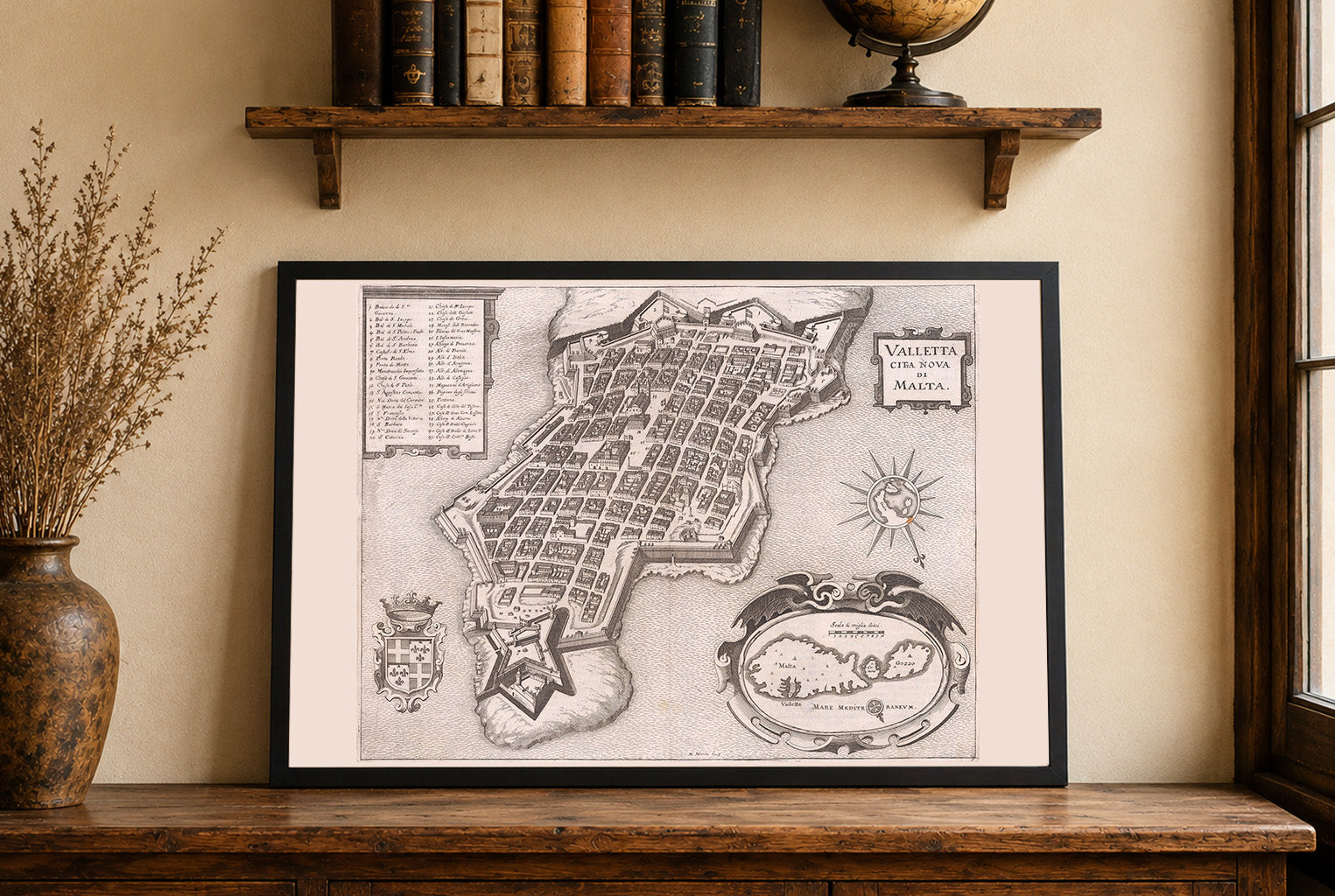
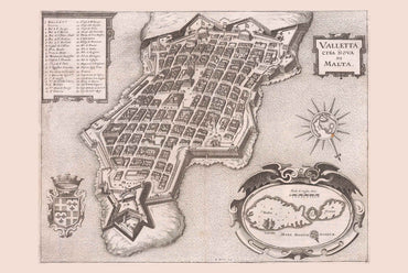
This seventeenth-century engraving titled *Valletta Città Nova di Malta* presents a highly detailed, bird’s-eye view of Valletta, the capital city of Malta. It was produced by...
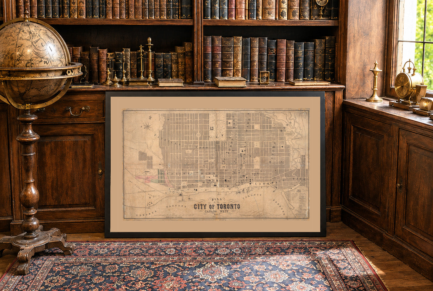
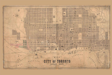
Plan of the City of Toronto Canada West 1857 is a large-format wall map published in Toronto by Fleming, Ridout & Schreiber, with J. Ellis credited...

23 items

41 items

60 items

27 items

58 items

10 items