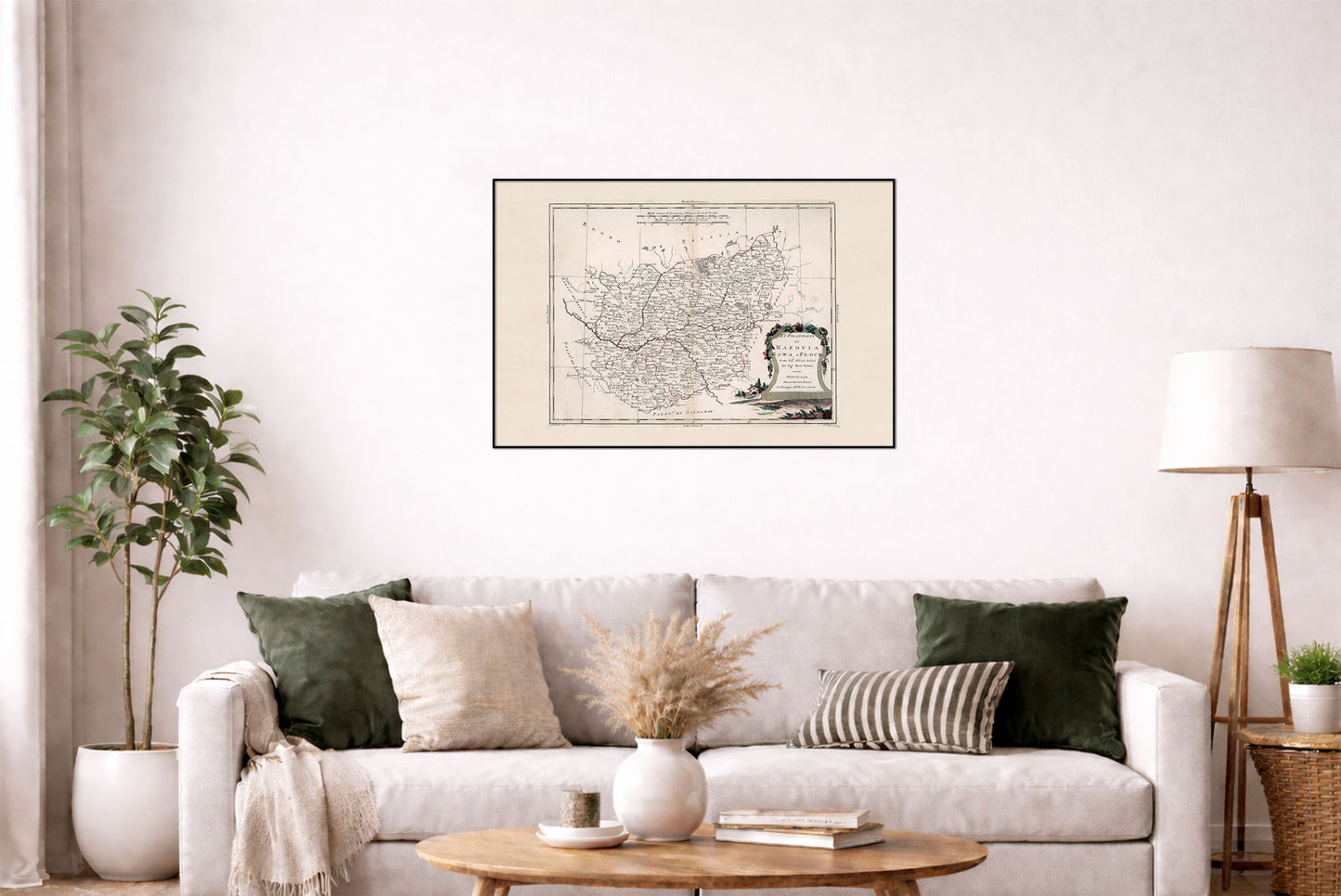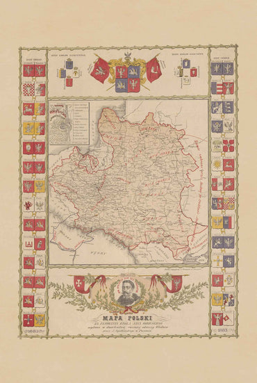



Explore the historical geography of the Polish-Lithuanian Commonwealth with this beautifully detailed 18th-century map poster of Mazovia, Rawa and Plock, created by Antonio Zatta and published in Venice in 1781 as part of his renowned Atlante novissimo.
The map depicts the historic Polish palatinates of Mazovia (Mazowsze), Rawa and Plock (Płock), corresponding largely to areas of present-day Poland. It shows administrative boundaries, cities, towns, rivers, lakes, forests and other geographical features, with hand-colored outlines clearly distinguishing the different territories.
The map is richly decorated with an ornate Baroque cartouche featuring floral motifs and a pastoral scene. Hachures are used to represent terrain, while the detailed engraving reflects the high standards of 18th-century European cartography.
Published just before the Partitions of Poland, this map provides a fascinating view of the territorial organization of the Polish-Lithuanian Commonwealth at the end of the 18th century, before the Commonwealth was dismantled between 1772 and 1795.
The map formed part of Zatta's Atlante novissimo, one of the most ambitious European atlases of its period. Its combination of historical significance, detailed cartography and decorative 18th-century engraving makes it an excellent piece of historical wall art for lovers of Poland, Polish history, cartography and antique maps.
This is a reproduction print of a historical map
Zatta, Antonio, active 1757-1797
Year: 1781
Source: David Rumsey Map Collection, David Rumsey Map Center, Stanford Libraries