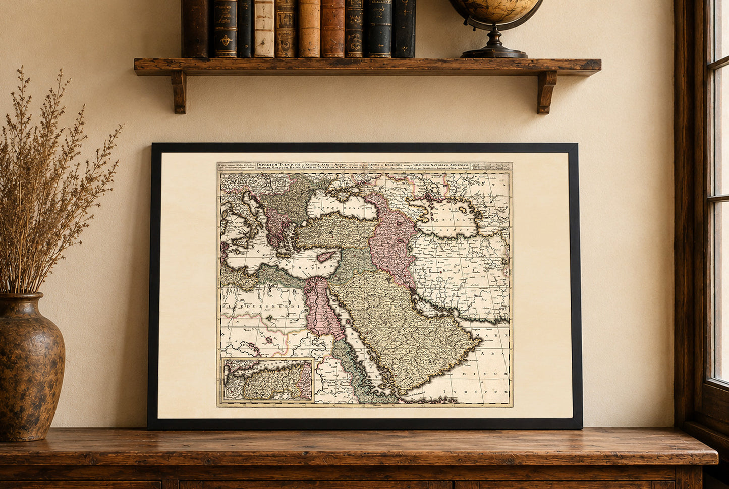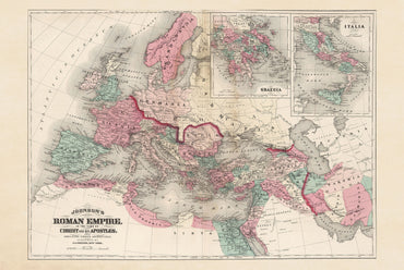
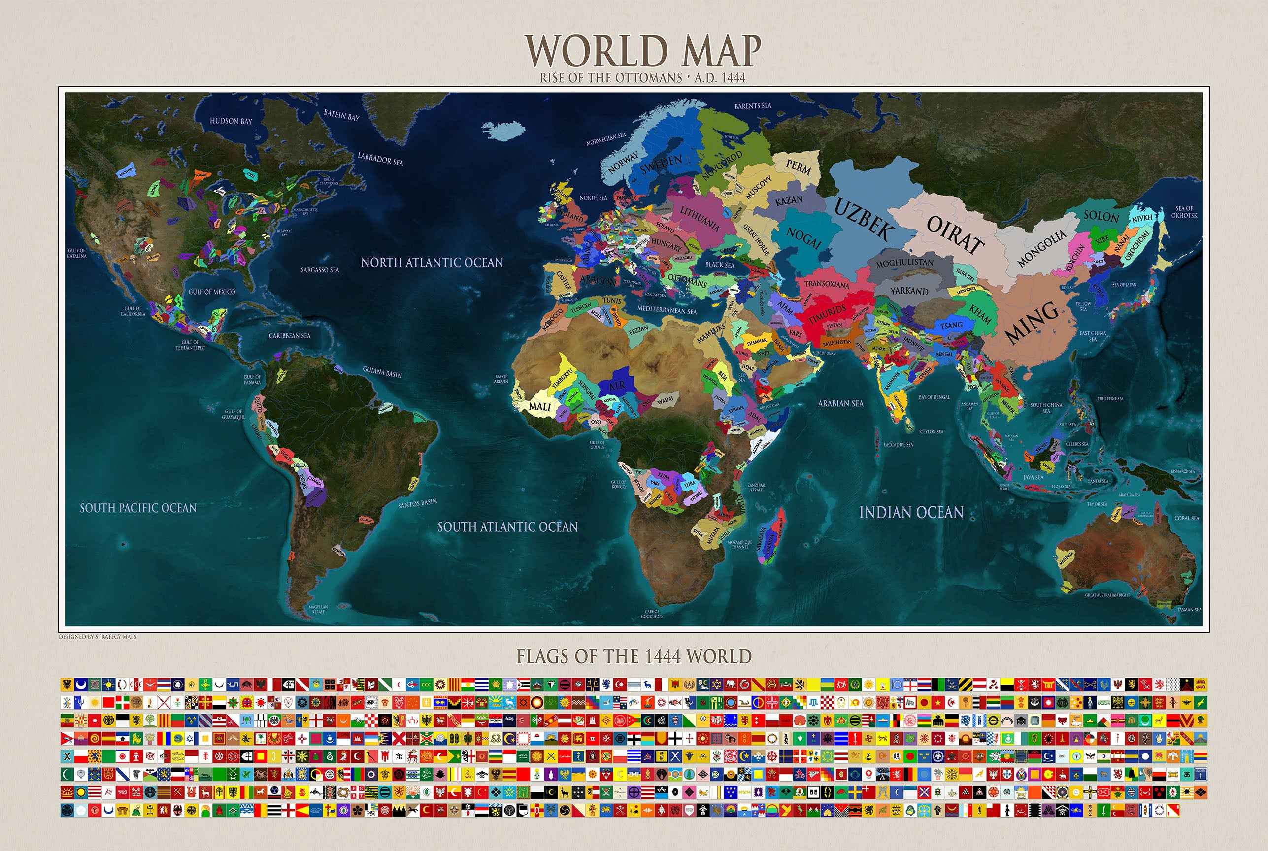
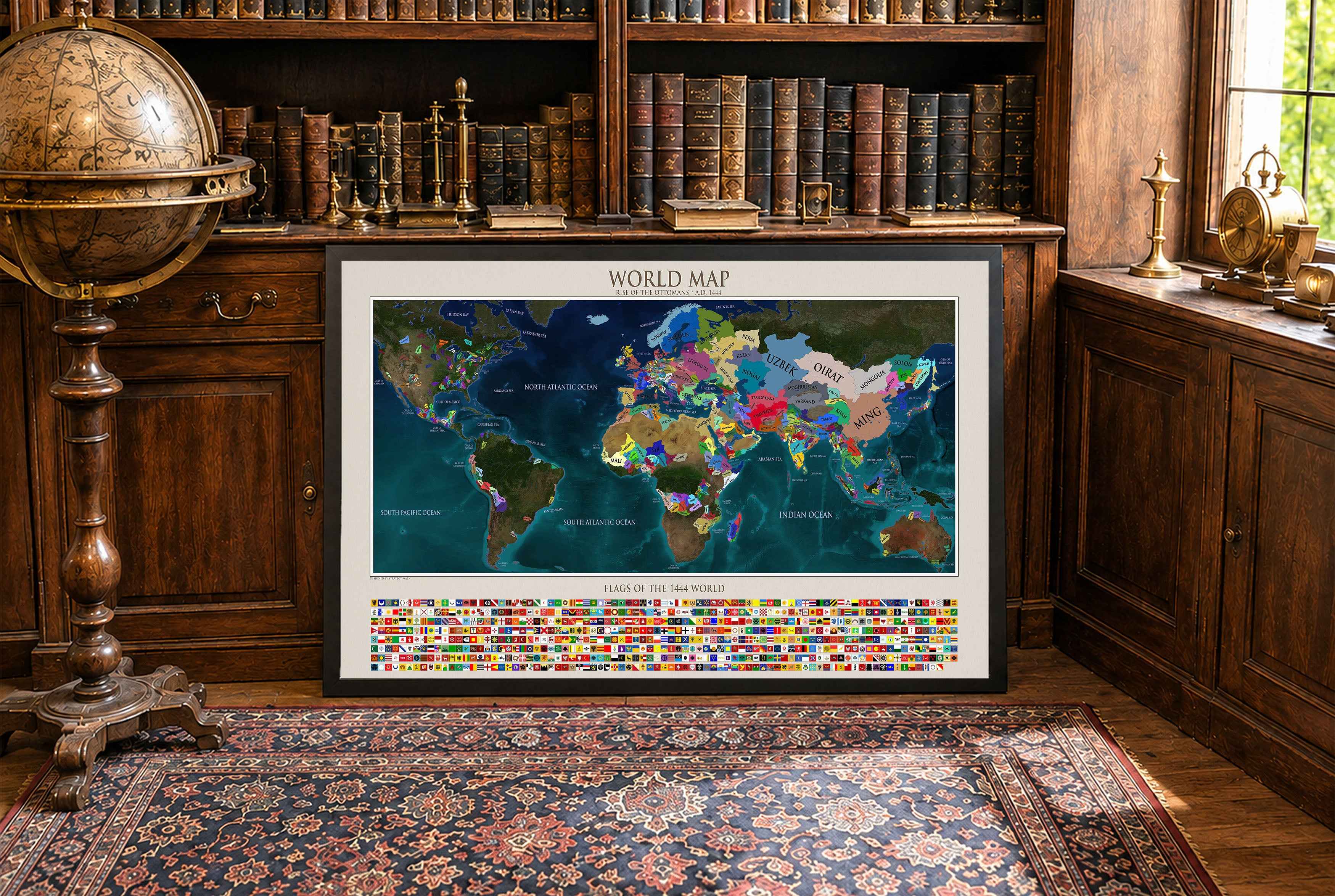


In 1740, the Ottoman Empire remained one of the largest states in Eurasia, stretching from the Balkans and Anatolia to the Middle East and North Africa. It was ruled by Mahmud I, who restored stability after the Patrona Halil rebellion and governed a diverse empire through a system of provinces administered by governors and local elites.
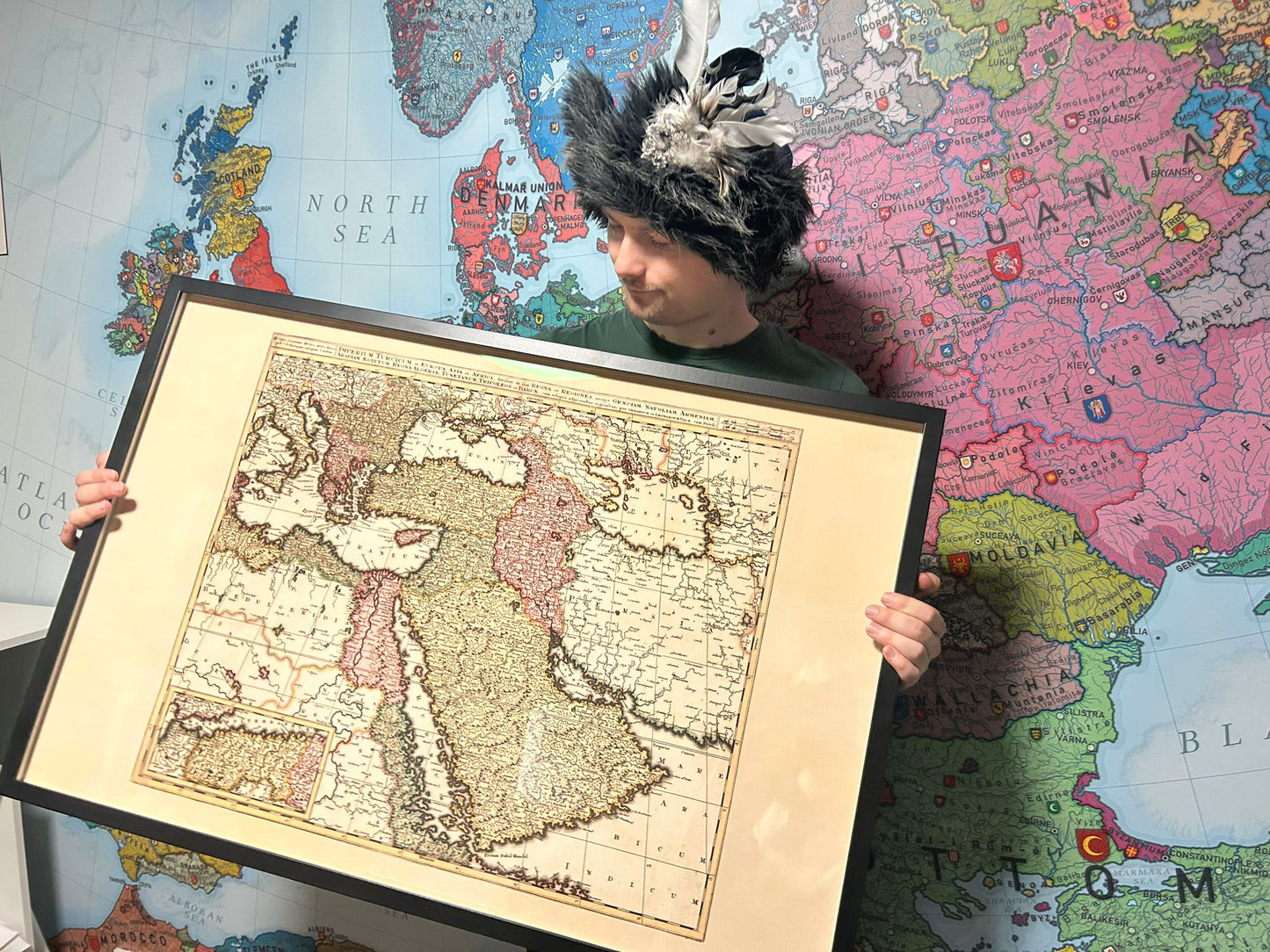
Engraved hand colored in outline map of the Ottoman Empire in Europe, Asia, and Africa, extending from the Persian Gulf and Red Sea to the Mediterranean. Shows political and administrative boundaries, cities, towns, roads, landmarks, mountains and rivers.
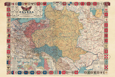
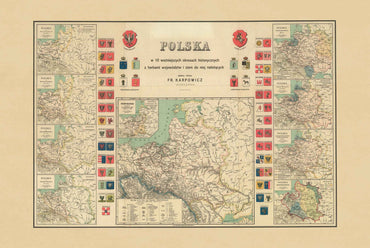
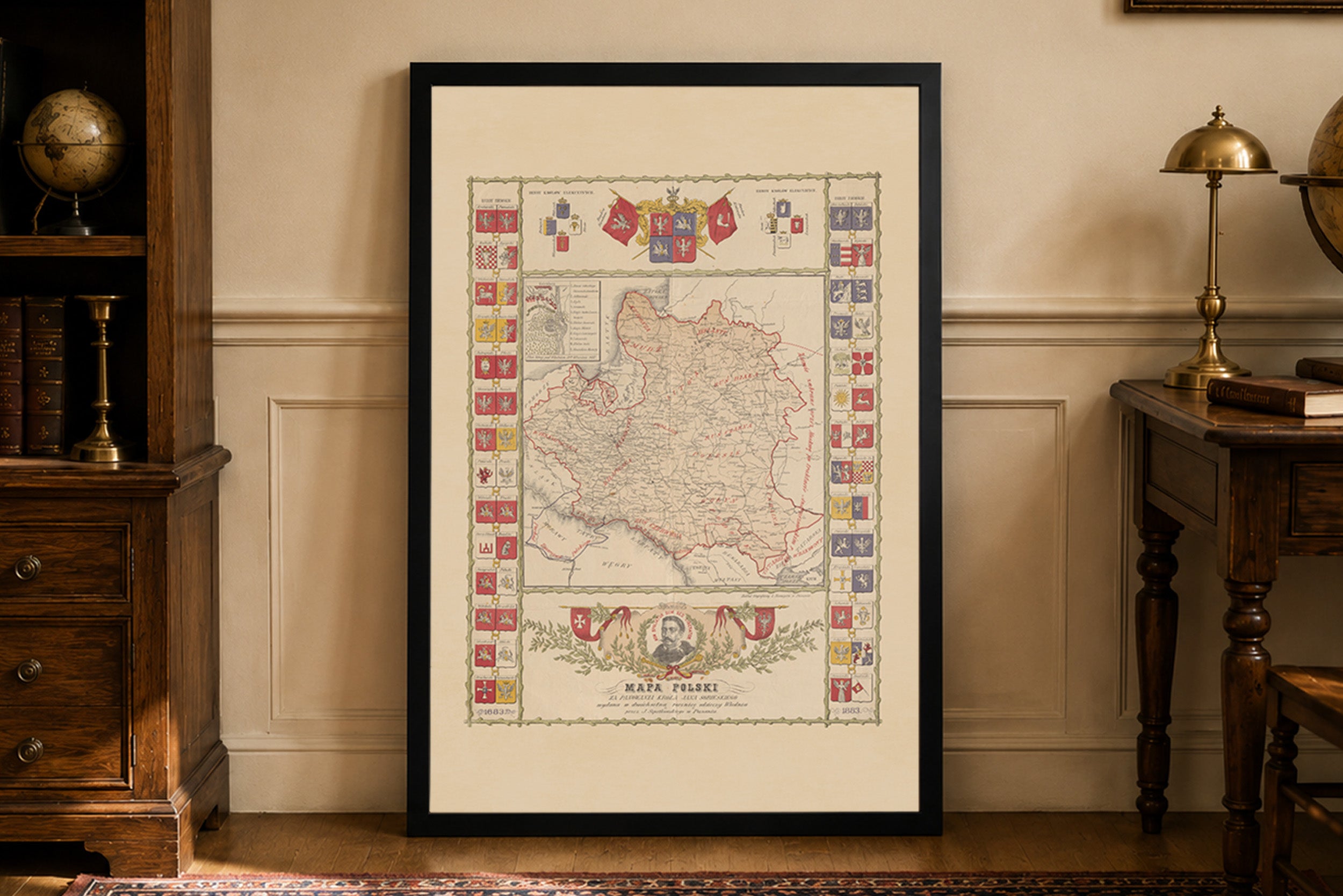
This is a reproduction print of a historical map