

Rotterdam is always 5 stars.
The quality of the canvasses are great!
Le mappe sono piene di particolari, davvero delle bellissime stampe.
You might like


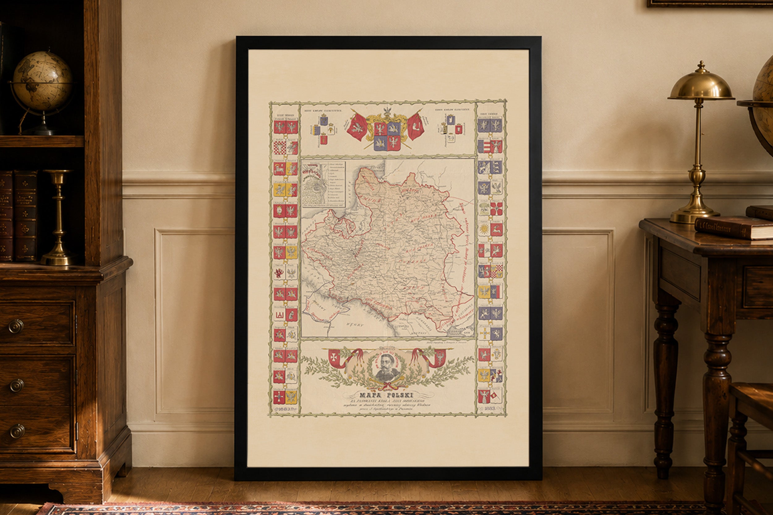
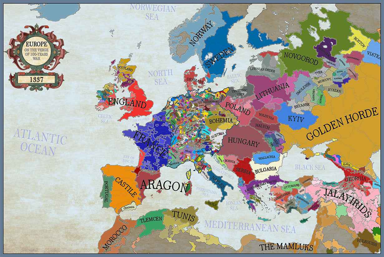
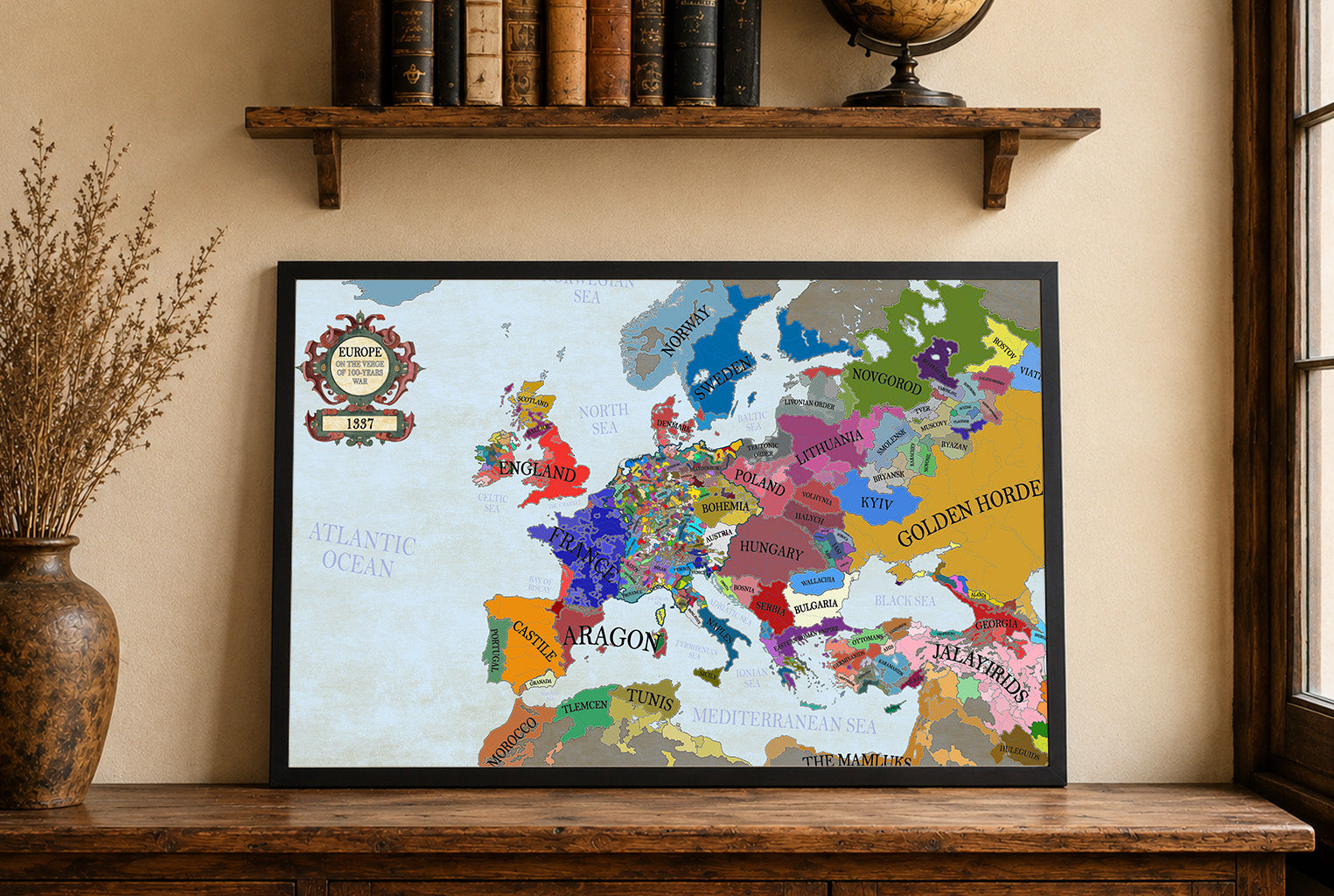


42 items

148 items

54 items

17 items

12 items

7 items

34 items

14 items

11 items

7 items
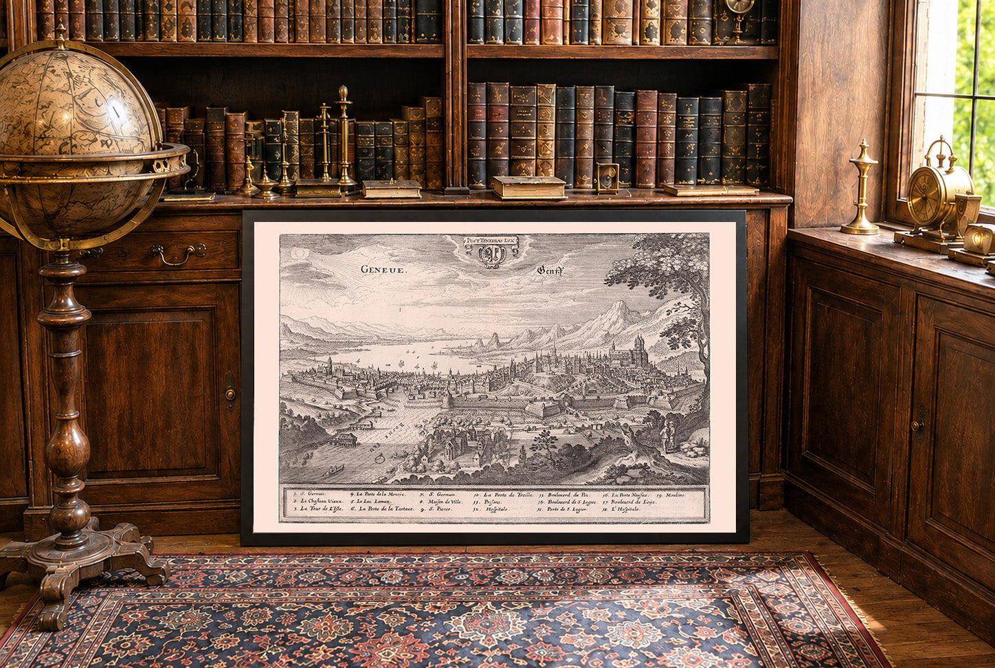
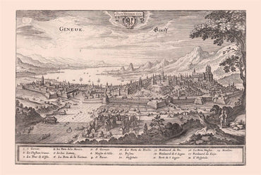
This engraved city view, labeled as “Geneue. Genss.” was produced in 1654 by the atelier of Matthaeus Merian, with textual contributions from Martin Zeiller and Caspar...
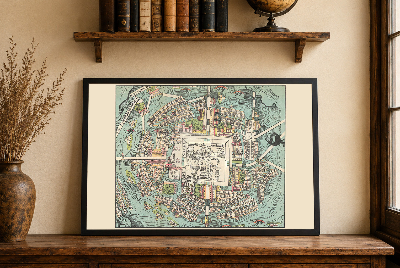
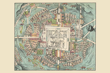
The image is a historical map titled "Plan central del Mapa de Cortes," created by Dr. Ignacio Alcocer in 1935. This work is part of a...
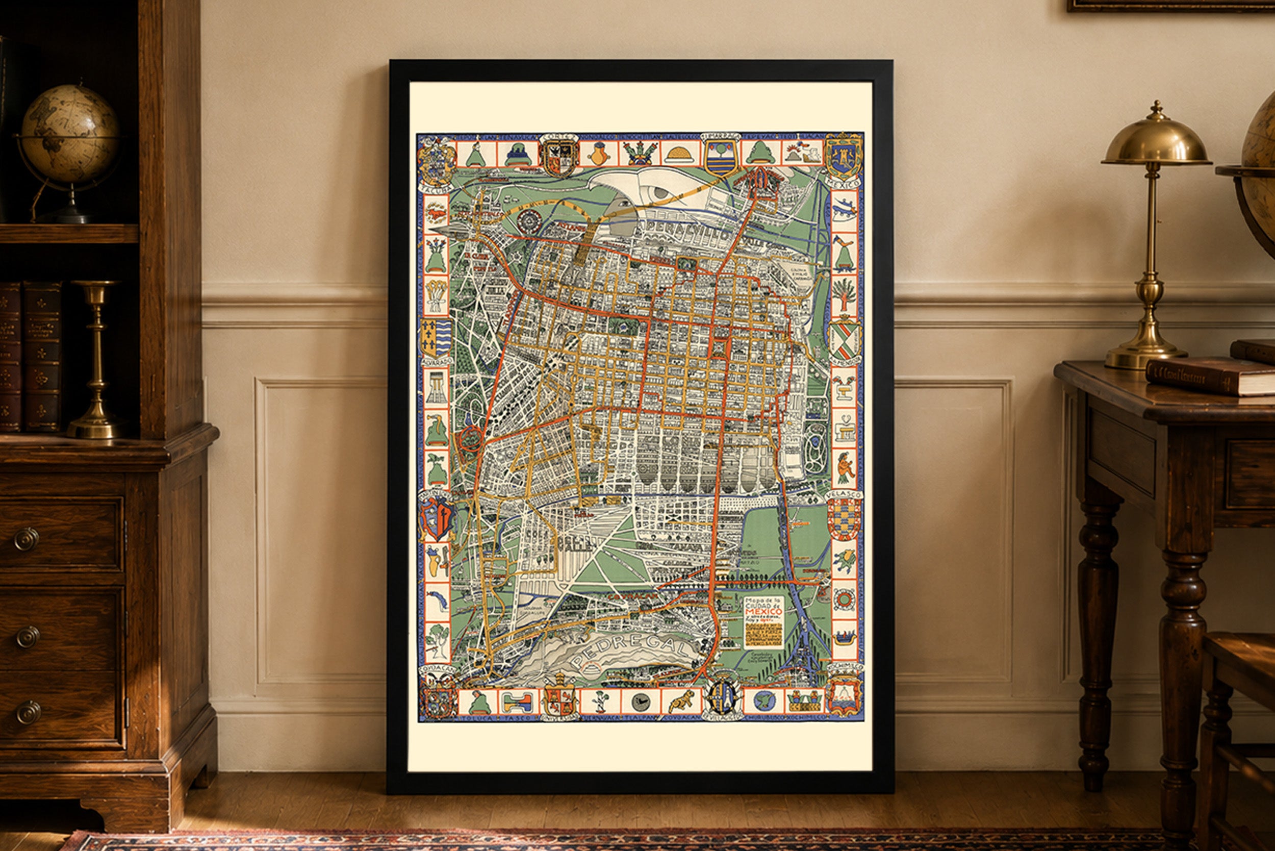
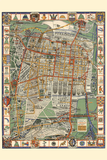
This map is titled "Mapa de la Ciudad de Mexico y alrededores, hoy y ayer," created by Emily Edwards in 1932. Published by the Mexican Light...
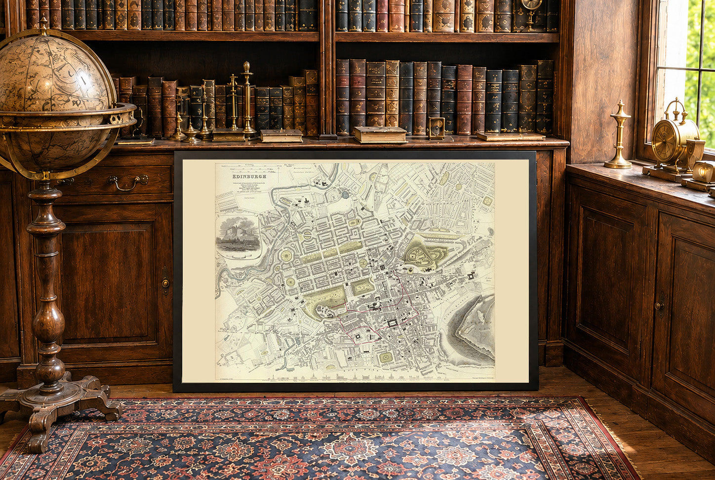
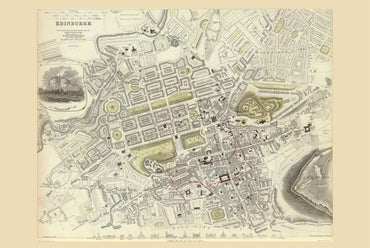
The image is a historical map of Edinburgh, produced under the supervision of the Society for the Diffusion of Useful Knowledge (SDUK) and published by Chapman...
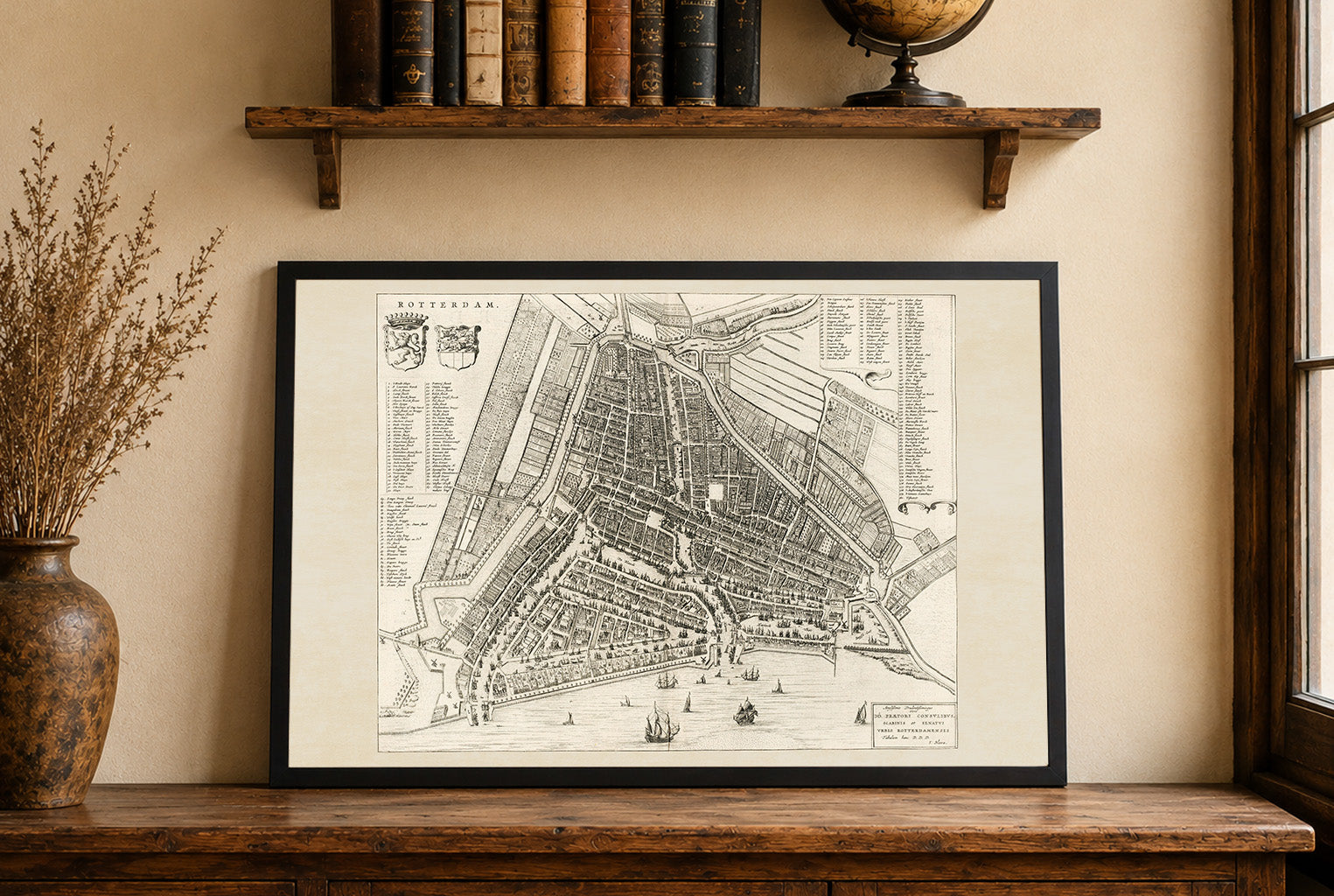
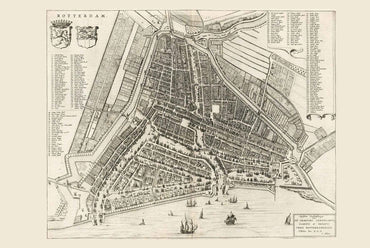
This work is a detailed map of Rotterdam, created by Joan Blaeu and Willem Janszoon Blaeu, published in 1652. The map is part of Blaeu’s renowned...
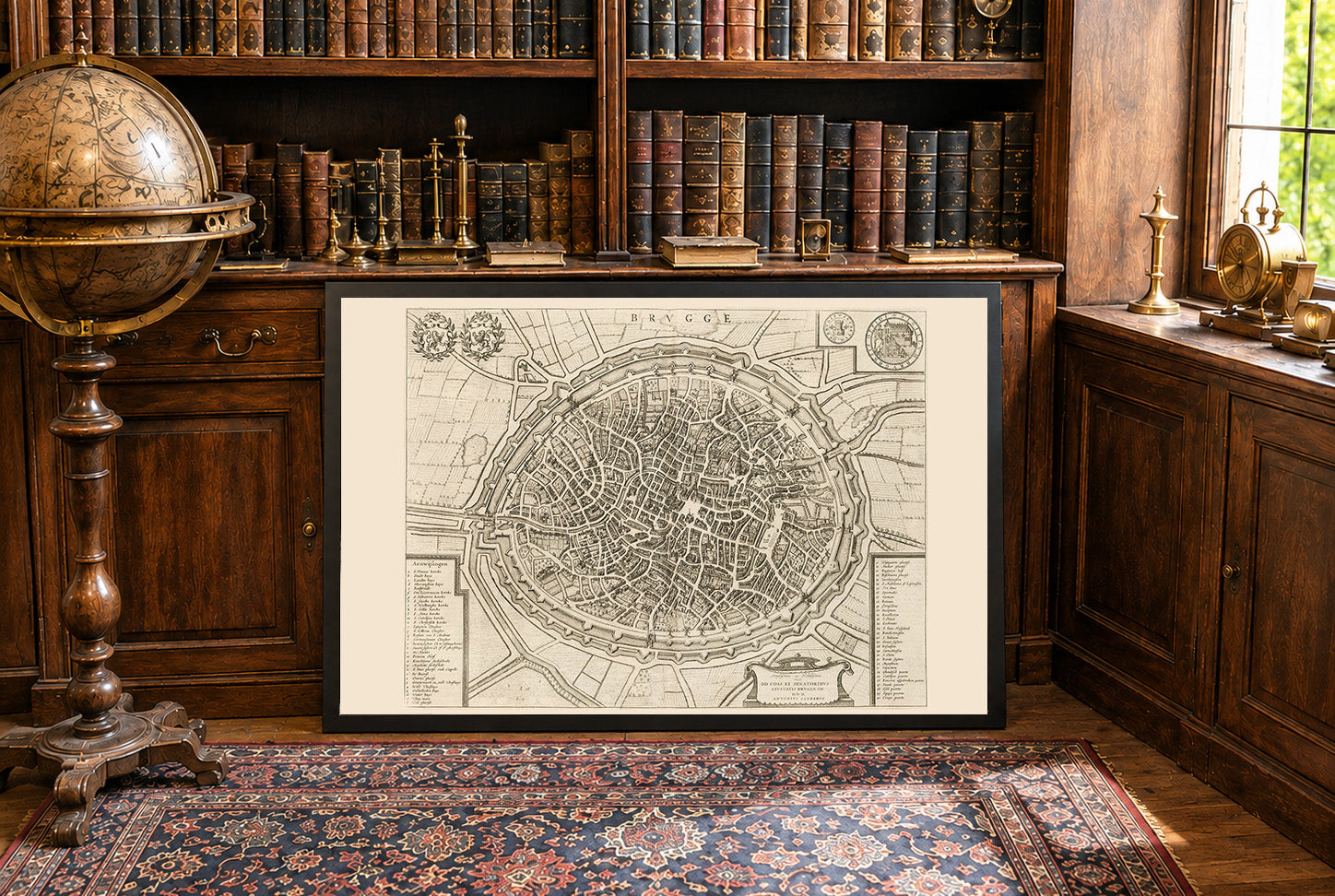
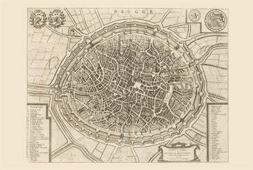
The work depicted is a detailed map of Brugge (Bruges), created by Joan Blaeu and Willem Janszoon Blaeu. This map, dated 1652, is part of a...
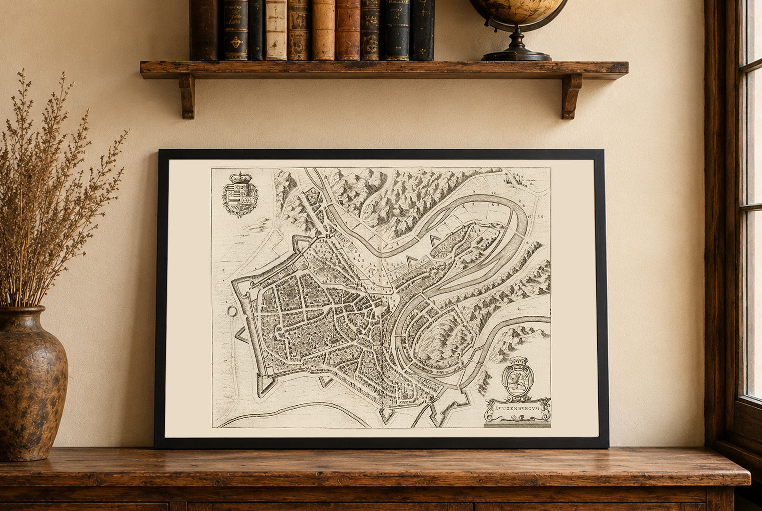
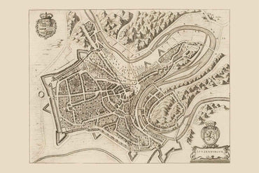
This image is a historical map titled "Lutzenburgum," created by Joan Blaeu and Willem Janszoon Blaeu in 1652. It is included in the second volume of...
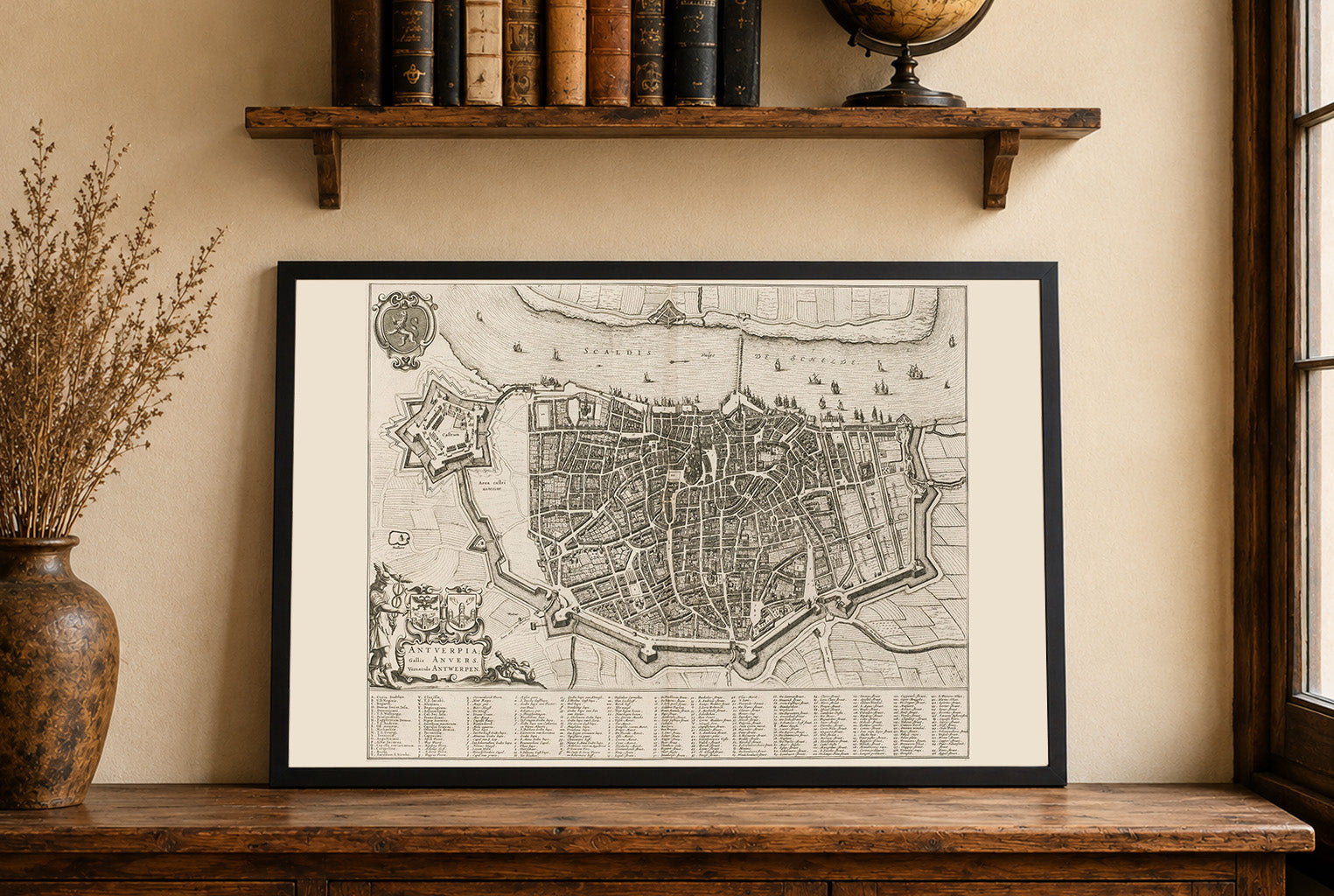
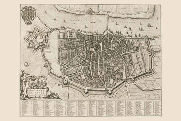
This work is a detailed city map titled "Antuerpia; Gallis Anvers:. Vernacule Antwerpen," created by Joan Blaeu and Willem Janszoon Blaeu in 1652.. The map is...
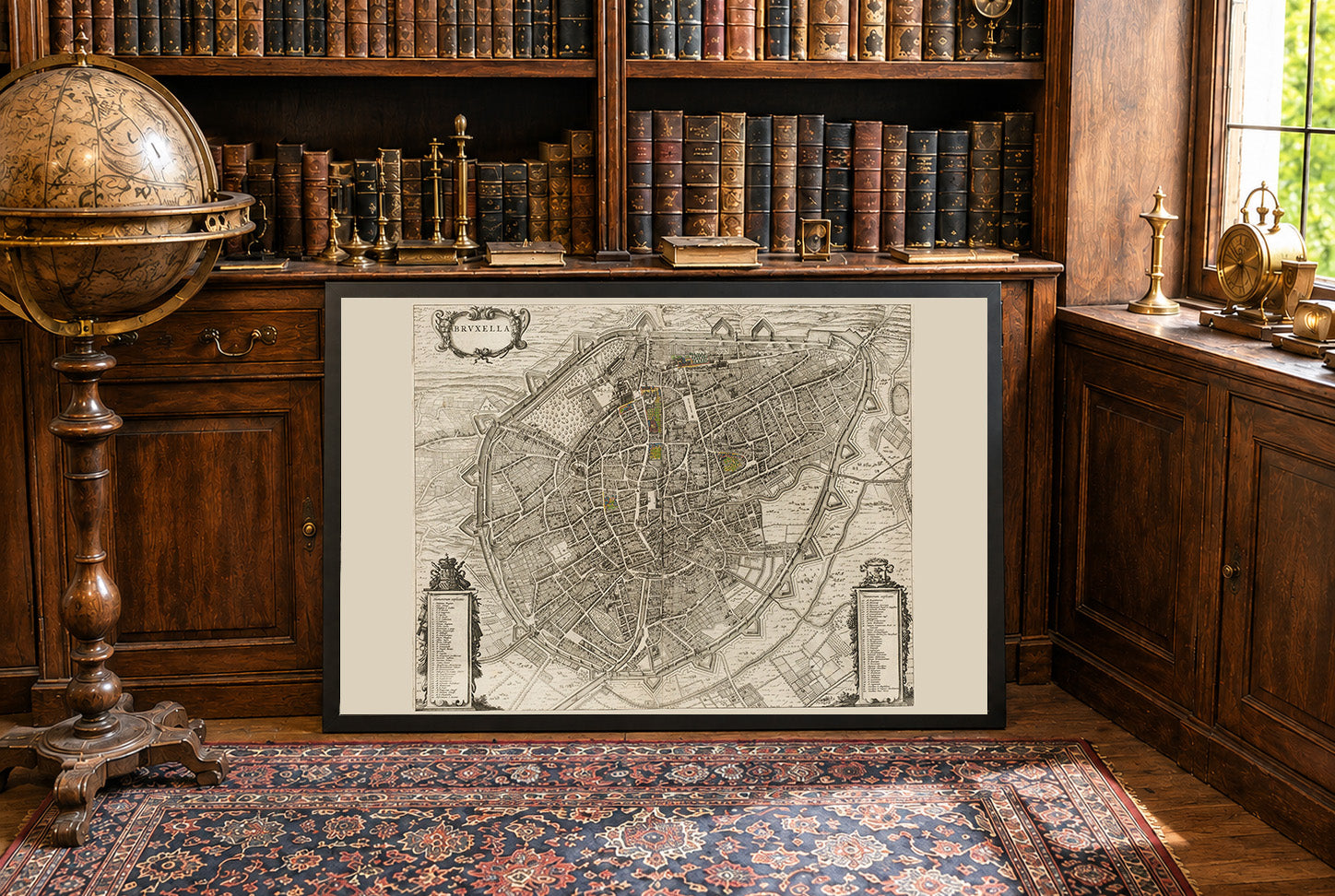
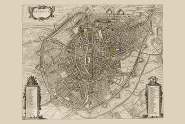
The image depicts "Bruxella," a map of Brussels, authored by Joan Blaeu and Willem Janszoon Blaeu, published in 1652. This work is part of Blaeu’s "Toonneel...
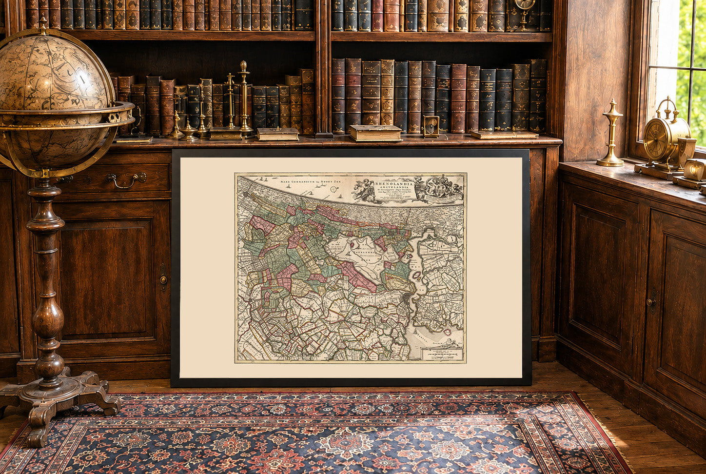
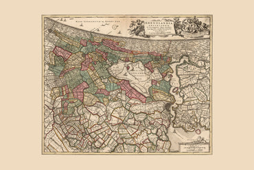
In 1740, Amsterdam was the leading commercial and financial center of the Dutch Republic, which was governed by a coalition of provincial estates and urban regent...
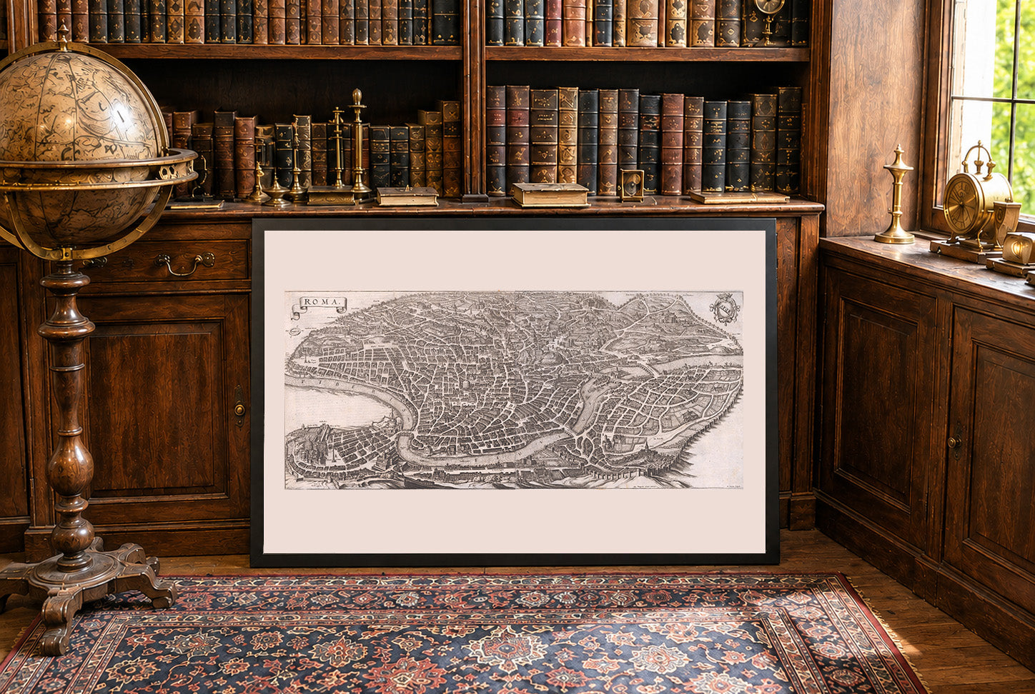
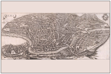
In 1688, Rome was the political and spiritual center of the Papal States, governed directly by Pope Innocent XI through the papal administration. The city functioned...
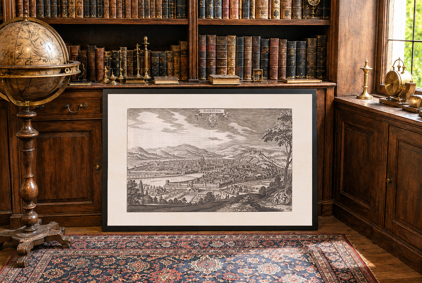
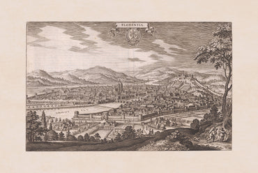
In 1688, Florence was the capital of the Grand Duchy of Tuscany, governed by the House of Medici under Cosimo III de' Medici. Although politically stable...
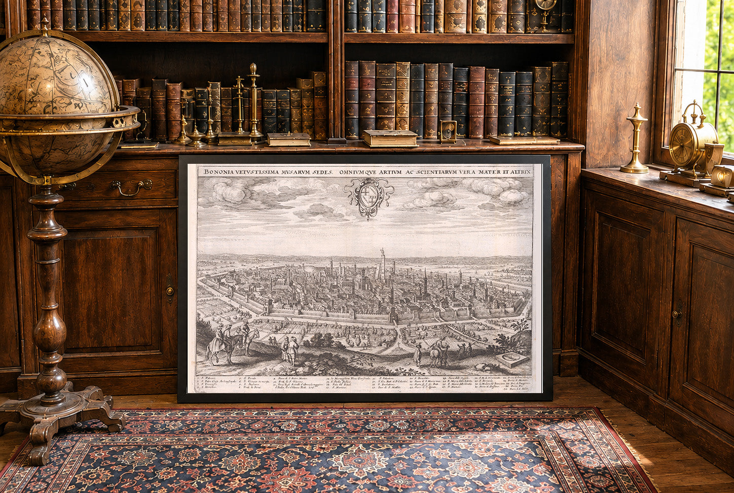
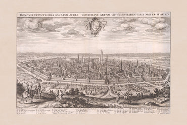
In 1688, Bologna was part of the Papal States, governed on behalf of the pope by a papal legate while retaining some traditional municipal institutions. As...
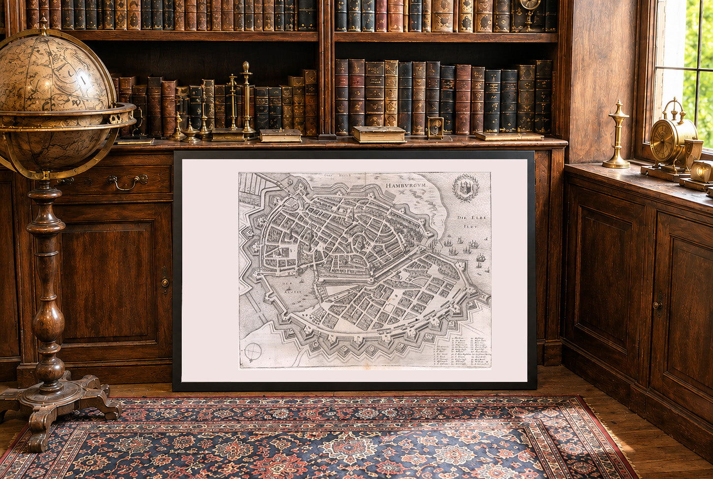
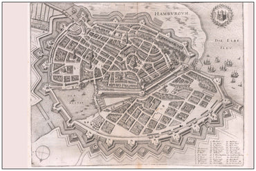
In 1653, the Free and Hanseatic City of Hamburg was a prosperous and largely self-governing city-state within the Holy Roman Empire, formally subject to the emperor...
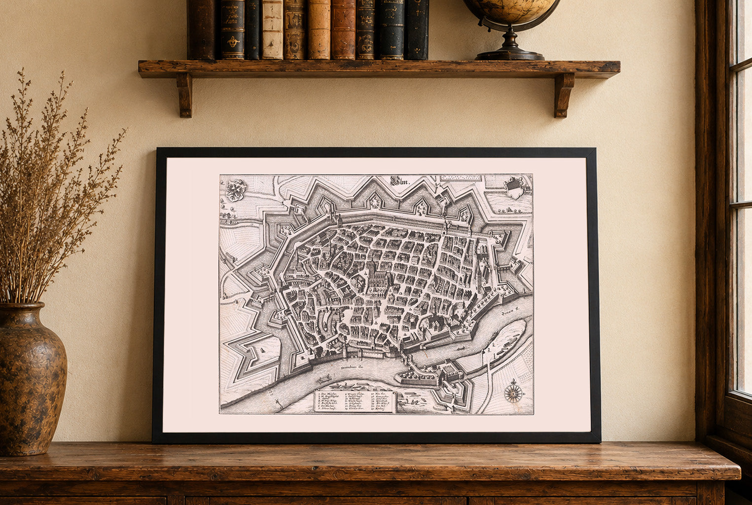
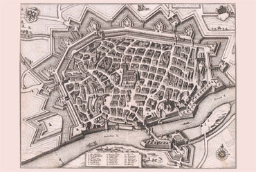
In 1643, the Free Imperial City of Ulm was a self-governing city-state within the Holy Roman Empire, formally subject only to the emperor but largely autonomous...
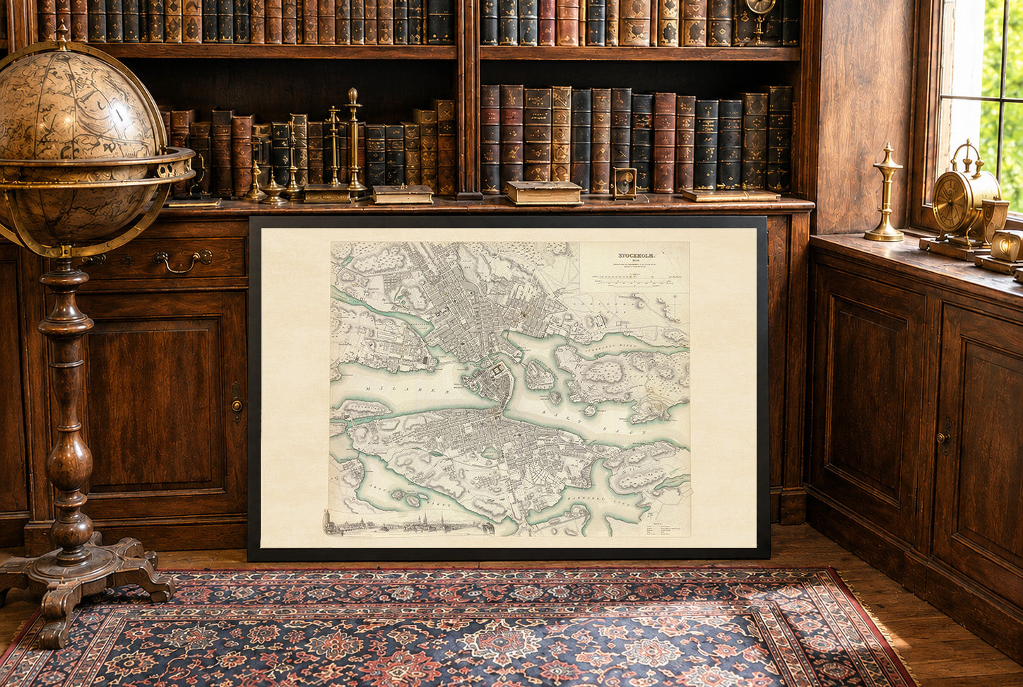
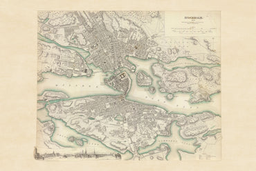
The work titled "Stockholm" is an engraved map published in 1838 under the supervision of the Society for the Diffusion of Useful Knowledge (SDUK). It was...
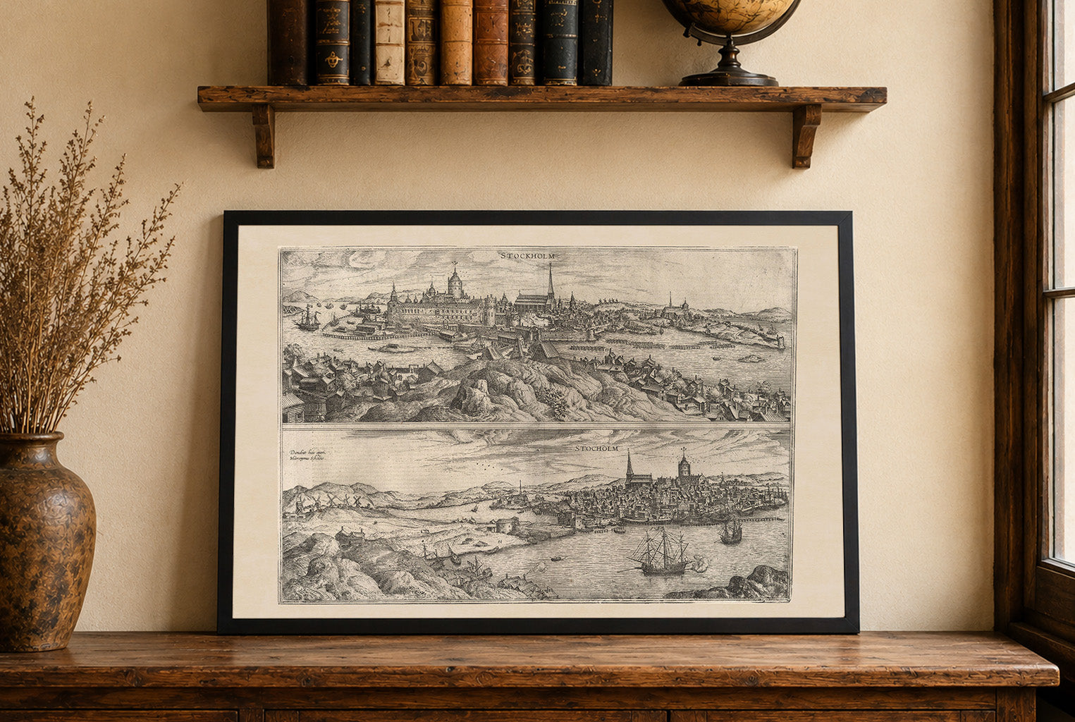
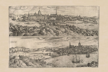
The image depicts a historical view of Stockholm, created by Georg Braun and Franz Hogenberg, published in 1588 as part of "Civitates Orbis Terrarum," the first...
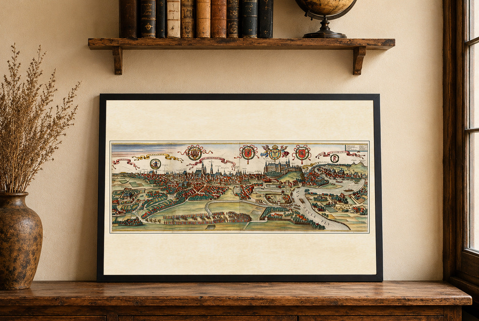
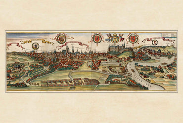
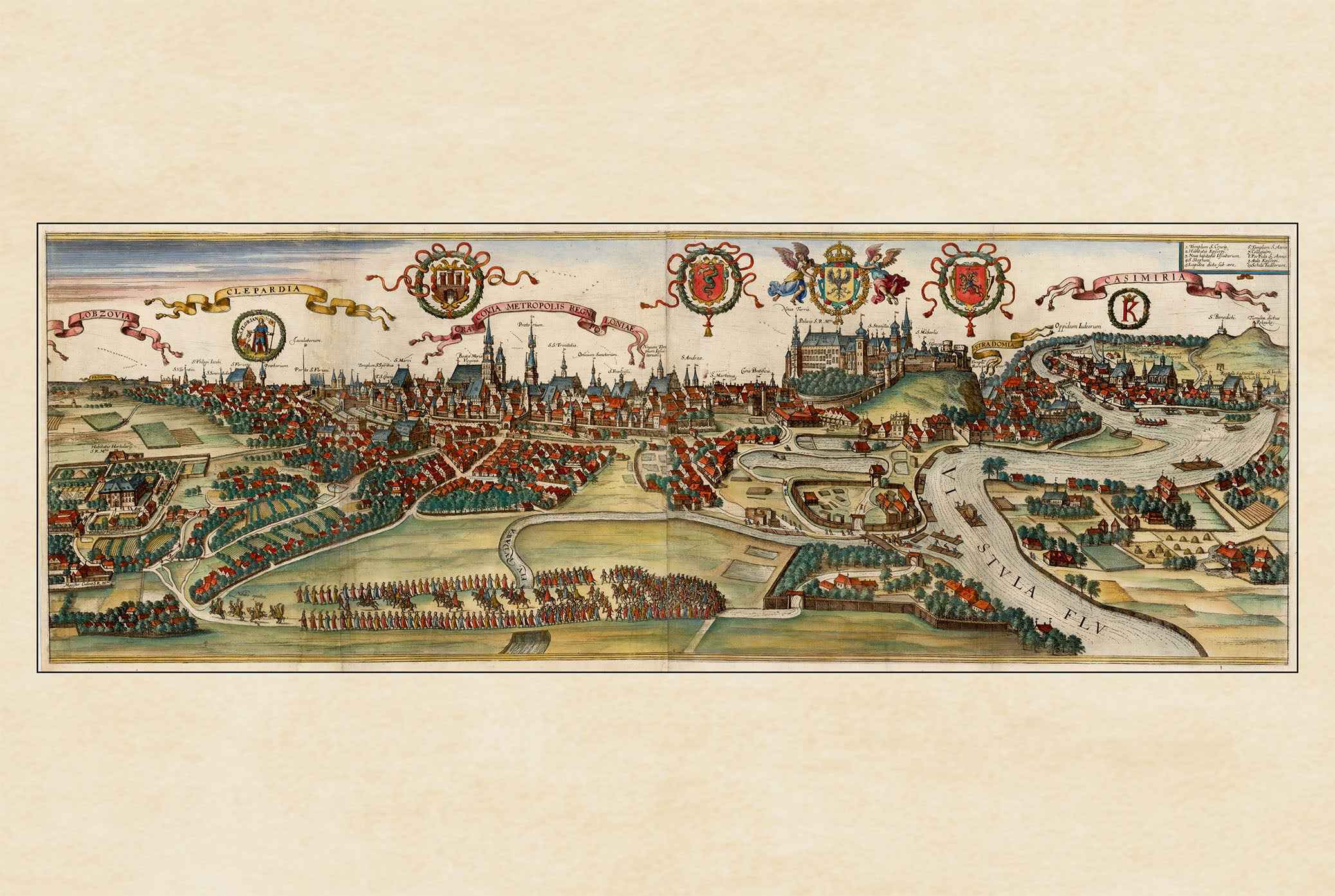
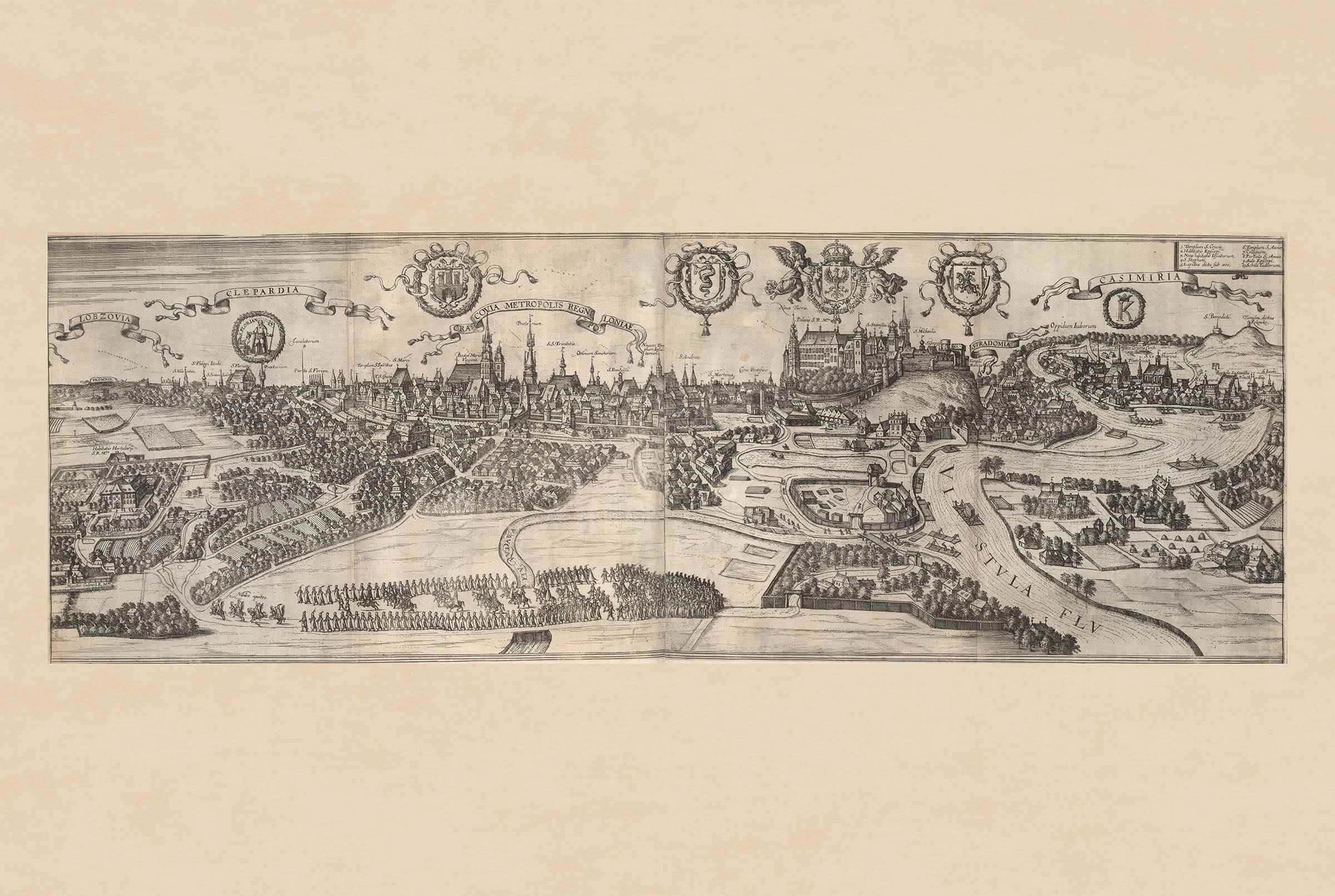
The image is a historical city view titled "Cracovia Metropolis" depicting Krakow, Poland, from the renowned atlas "Civitates Orbis Terrarum." Created by Georg Braun and Franz...
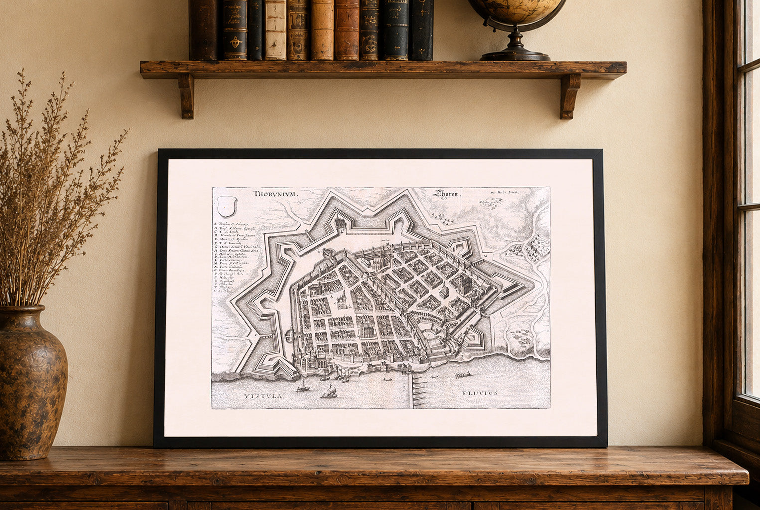
This image presents a finely detailed bird’s-eye view of the fortified city of Toruń (then known as Thoren or Thorunium), located on the Vistula River, in...
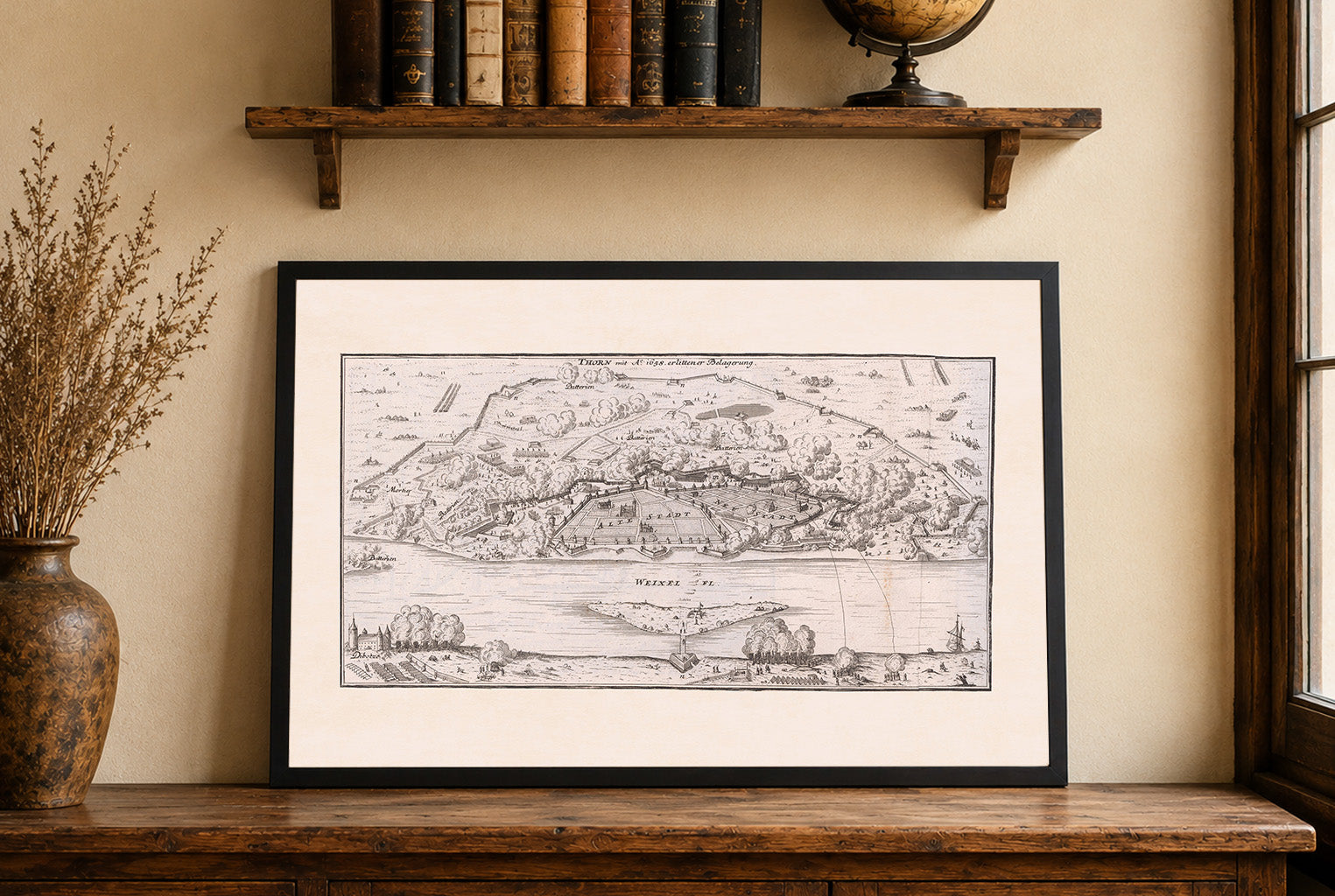
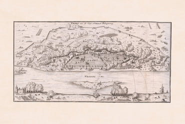
The work titled "Thorn mit Ao. 1658 erlittener Belagerung" is an atlas map created by Gabriel Bodenehr in 1725. This map is part of a military...

23 items

41 items

60 items

27 items

58 items

10 items