


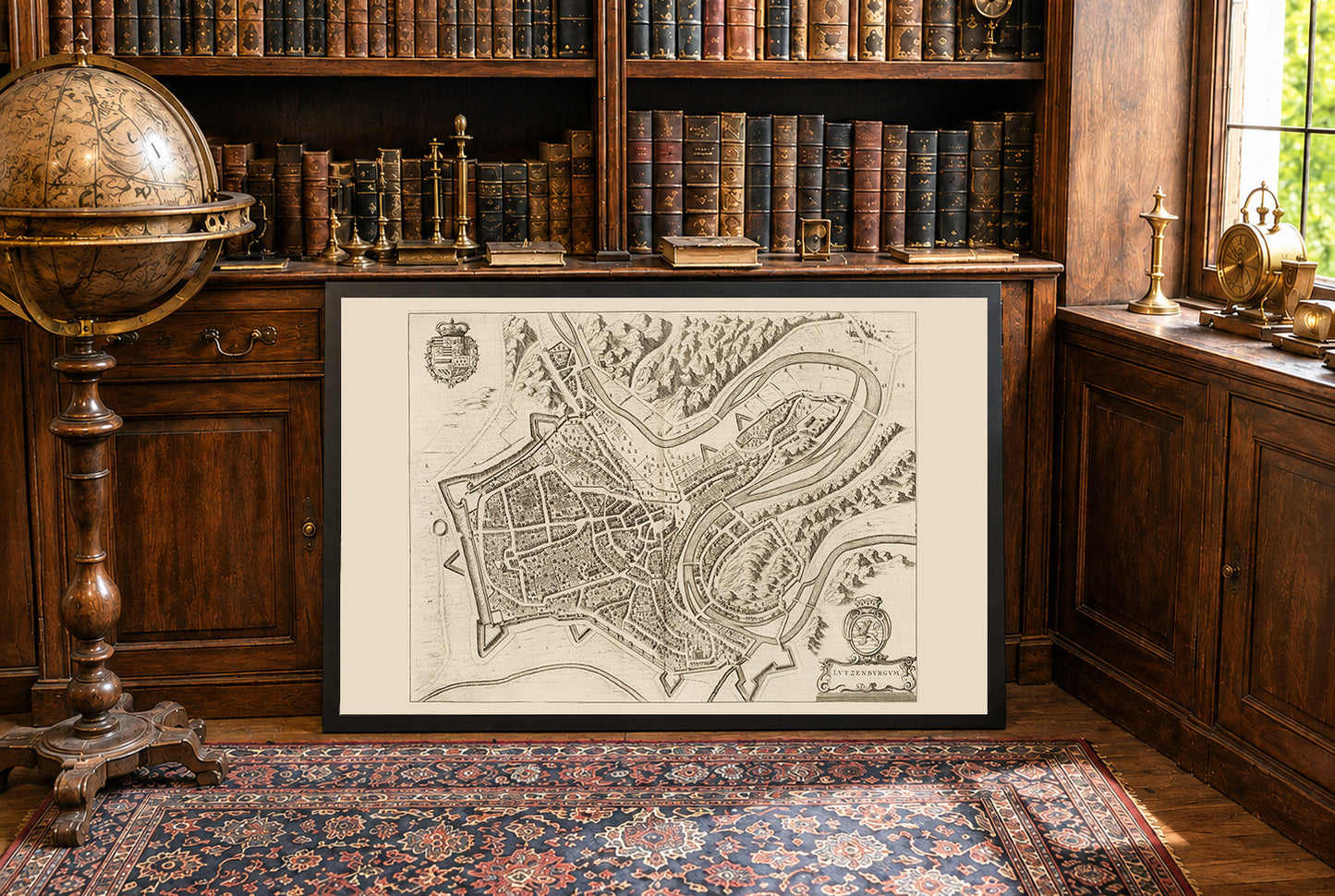
This image is a historical map titled "Lutzenburgum," created by Joan Blaeu and Willem Janszoon Blaeu in 1652. It is included in the second volume of Blaeu's city atlas, "Toonneel der Steeden van s'Konings Nederlanden, met hare Beschryvingen" (Theatre of Cities of the King's Netherlands, with Their Descriptions). The map is a detailed, bird's-eye view engraving of the city of Luxembourg. It features intricate depictions of the urban layout, including streets, buildings, and fortifications. The style is characteristic of the Dutch cartographic tradition of the 17th century, combining accuracy with artistic embellishment. Decorative elements such as coats of arms and cartouches enhance its visual appeal.


Excellent print, the fabric also is really nice and robust. Absolutely recommended

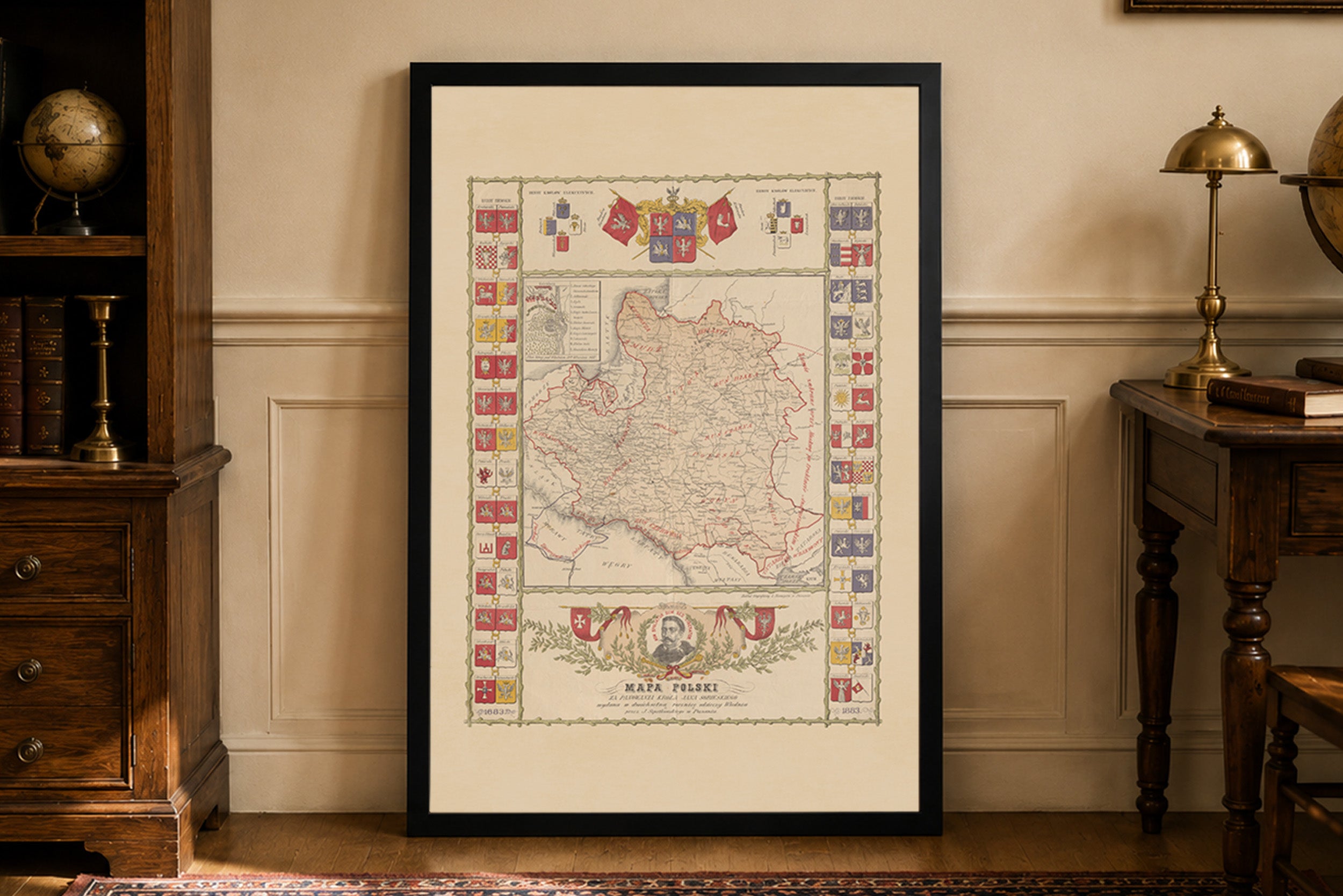
So many great options but in the end I choose these two, really glad I did.

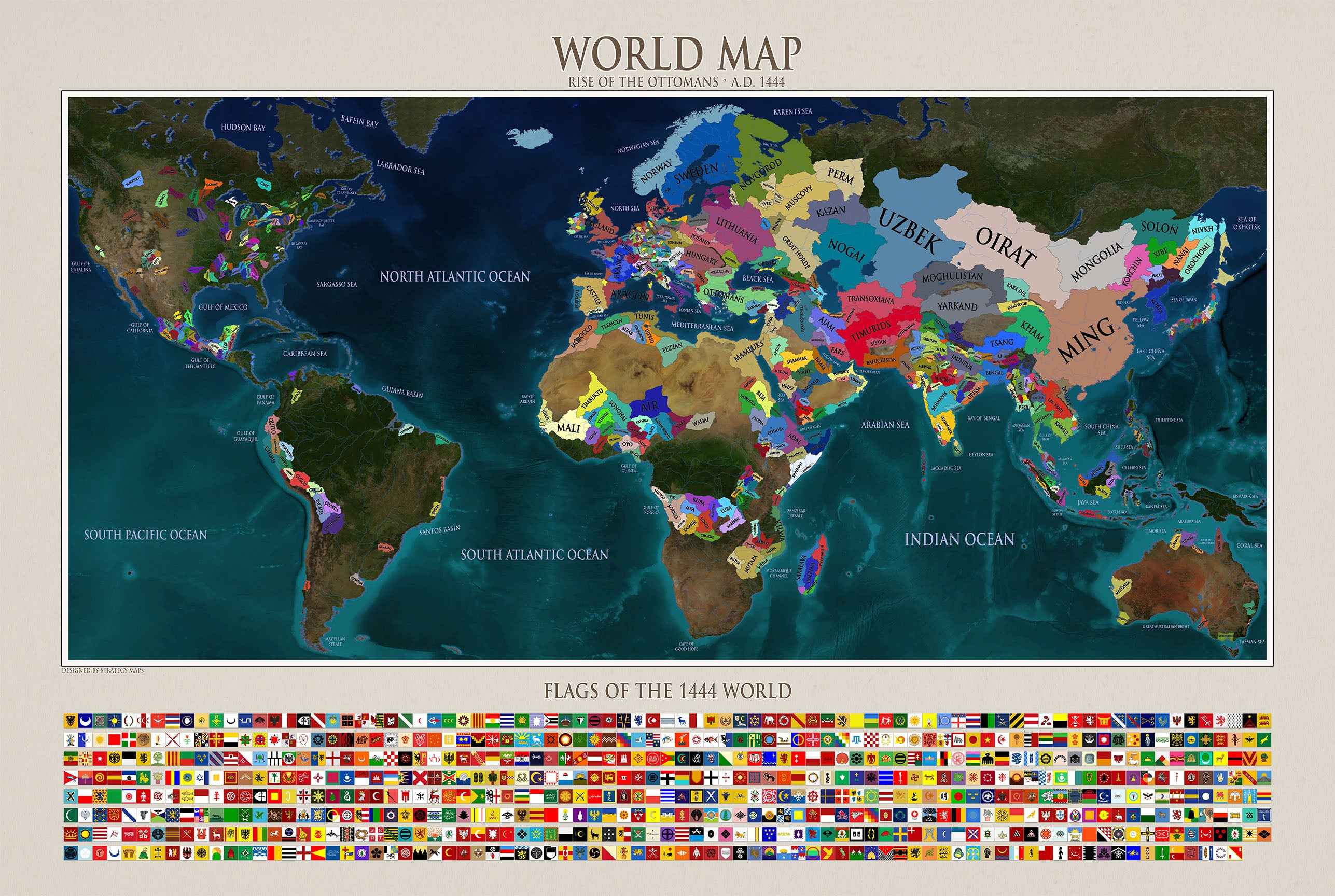
Very happy with this purchase, it looks great in my living room!

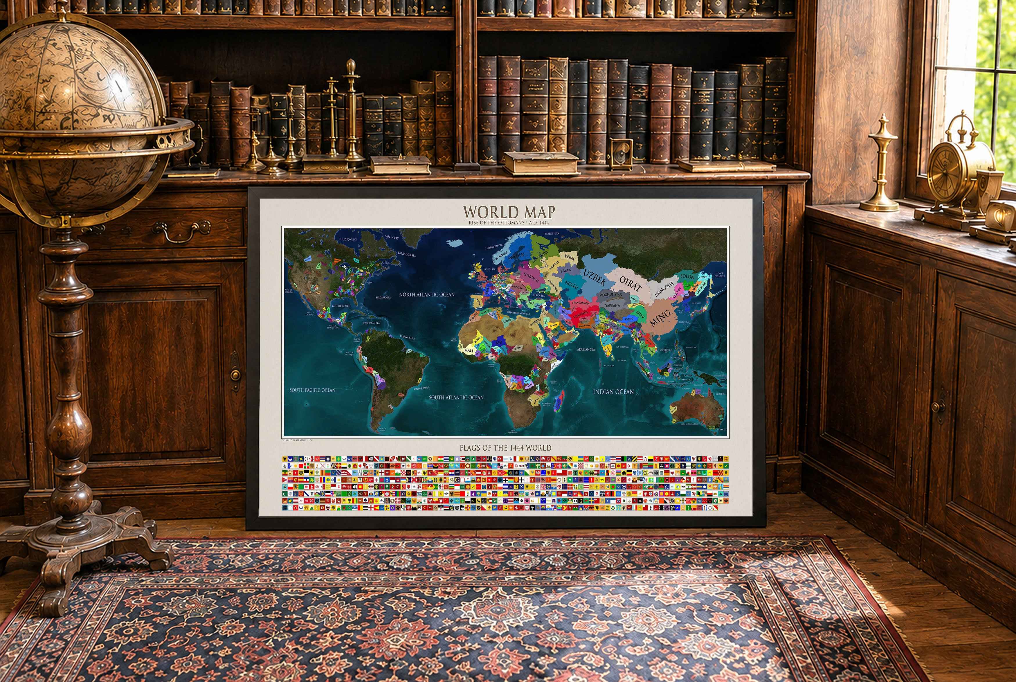
Great map. I gave it as a present to a friend who is really into World War 2 and he loved it. There are lots of details on the map like important battles or the straight distance between important islands and Tokyo. The quality of the frame and map are both great quality.
Incredible result, i would like to point out that during shipping the frame got damaged and we got a new one fast in perfect condition.