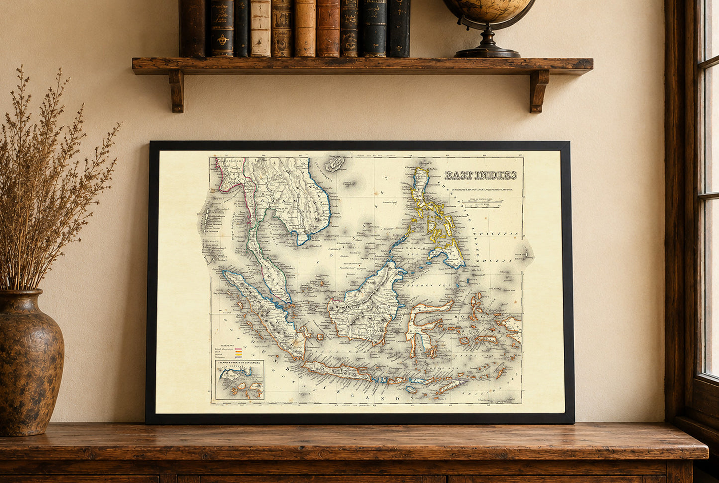


This map, titled "East Indies," was authored by G.W. Colton and published by J.H. Colton & Co. in 1856. This particular map is notable for its detailed representation of the East Indies, a region that includes modern-day Southeast Asia and parts of the Pacific. The map is printed in full color, with outlines distinguishing different colonial possessions by the British, Dutch, Spanish, and Portuguese. The map includes a decorative border, typical of mid-19th century cartography, which frames the detailed geographic information within.
This is a reproduction print of a historical map