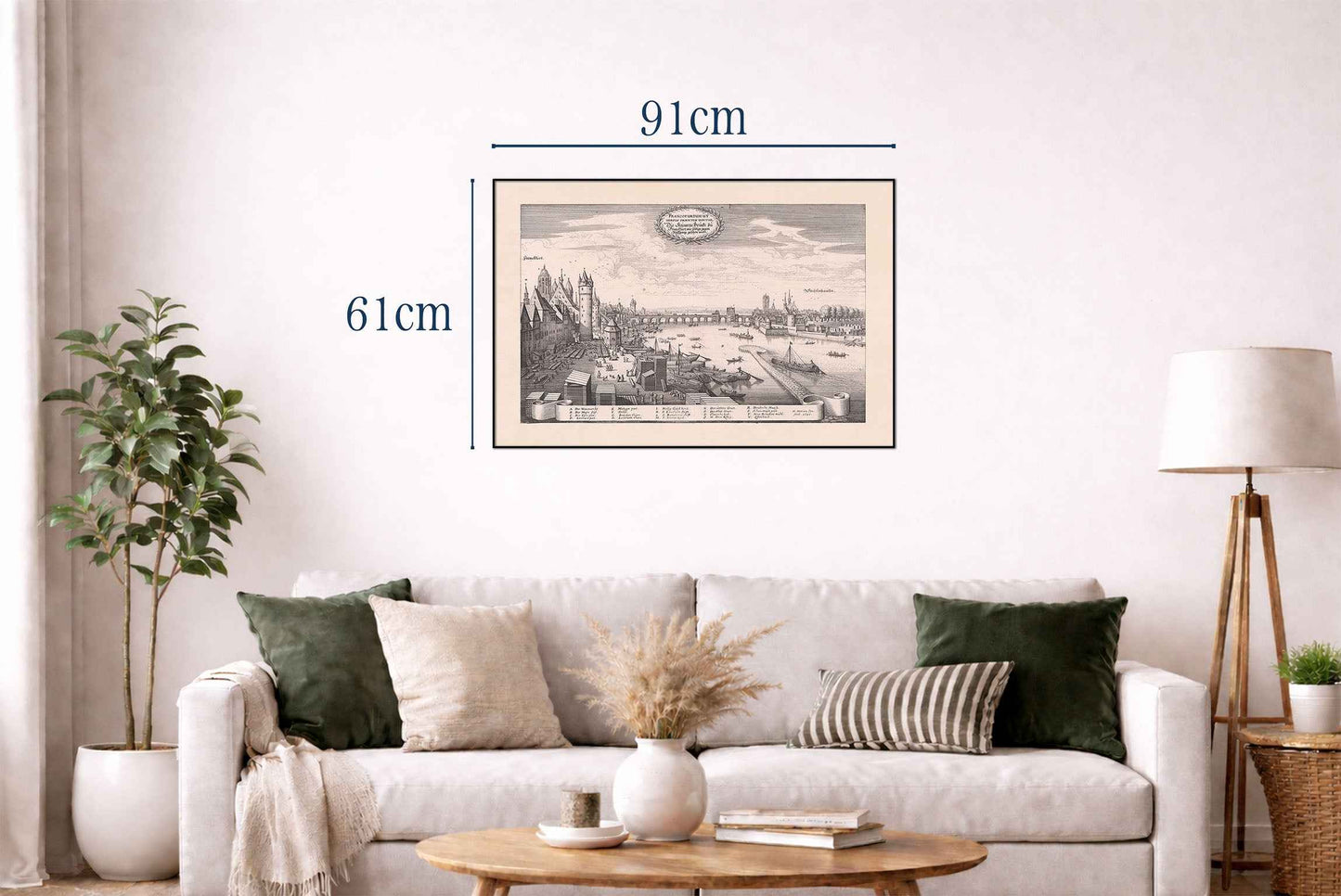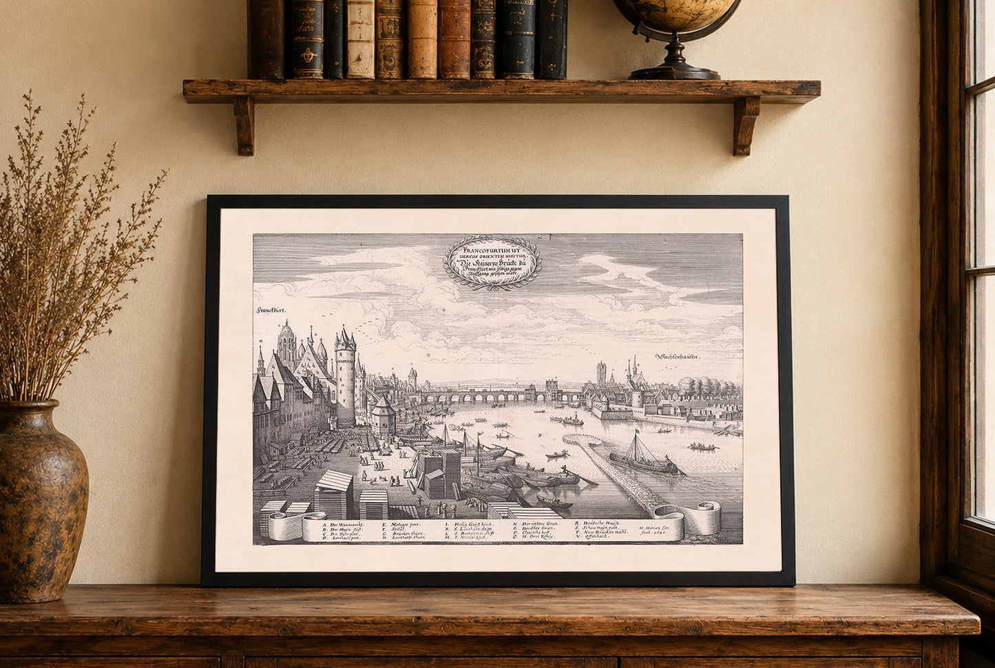


Discover the historic beauty of 17th-century Frankfurt with this remarkable Frankfurt city map poster titled “Francofurtum ut versus orientem visitur. Die steinerne Brücke zu Franckfurt, wie selbige gegen Ausgang gesehen wirdt,” created by Matthaeus Merian in collaboration with Martin Zeiller and published in 1646. This detailed engraving is part of the celebrated “Topographia Germaniae” series, one of the most important visual records of German-speaking Europe during the early modern period.
The artwork presents an impressive panoramic view of Frankfurt as seen toward the east, with the city’s famous stone bridge serving as the focal point of the composition. Executed with extraordinary precision, the engraving captures the architectural richness and lively atmosphere of Frankfurt along the riverbank during the 17th century.
Typical of Merian’s masterful engraving style, the composition combines geographic accuracy with artistic elegance. The cityscape is filled with detailed buildings, towers, and urban structures, while the river and bridge guide the viewer’s eye across the scene, symbolizing commerce, movement, and the importance of Frankfurt as a major trading center of the era.
The engraving beautifully reflects the energy of daily life in historical Frankfurt, depicting boats, riverside activity, and the bustling environment surrounding the bridge. Its balanced composition and refined linework make this artwork both an important historical document and a striking decorative piece.
Perfect for collectors, historians, architecture enthusiasts, and admirers of antique European city maps, this vintage Frankfurt poster adds timeless sophistication to offices, libraries, studies, and classic interiors.
This is a reproduction print of a historical map